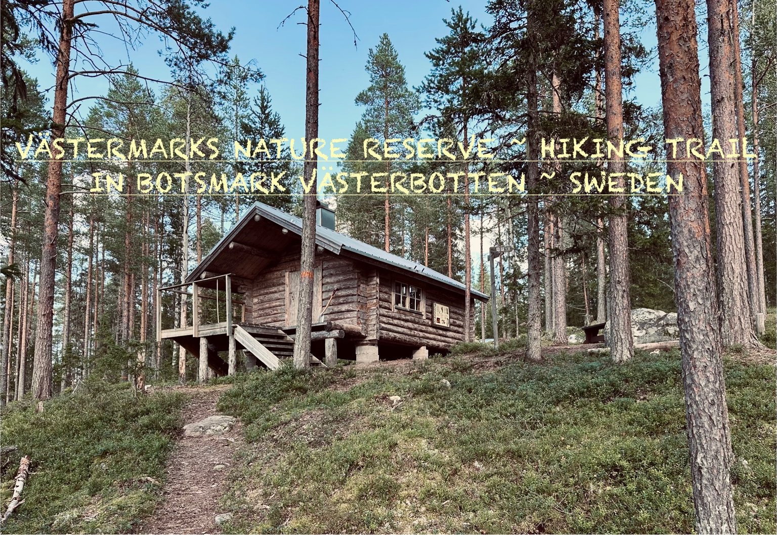
Let’s join me on a 8 km long HIKE in the VÄSTERMARKS NATURE RESERVE ~ HIKING TRAIL ~ in BOTSMARK, Västerbotten County, SWEDEN. 🇸🇪
We walk small paths, climb rocks, cross rivers... get wet feet hahaha 🤣 and we find a CUTE #CABIN at the end of this hike. One can stay in for the night to sleep and have a #BBQ too. Sounds like fun? Yep, it sure is... do come along 😁
With this post I’m joining in at the #Wednesday Walk #challenge. That is hosted by @tattoodjay every week on Wednesday.
‼️Have a look: Here in the Wednesday Walk Community if you want to join in!… the community is run by @tattoodjay
Look at his last #Wednesdaywalk post. It will tell you also the rules of joining in at the Wednesday walk posts 😁 come join us!
Today’s photographic selection will be of 75 PHOTOGRAPHS
Date : 7 AUGUST 2024
The Photographs in this post are taken with my #iPhone 📱
I will follow the time stamps on them. So it looks like you are experiencing my #adventures on this #walk to 💃🏻💃🏻💃🏻 #discover everything what I saw, like the little #details seen through my eyes.
Location of the HIKING TRAIL we find on the following screenshots of Google Maps :
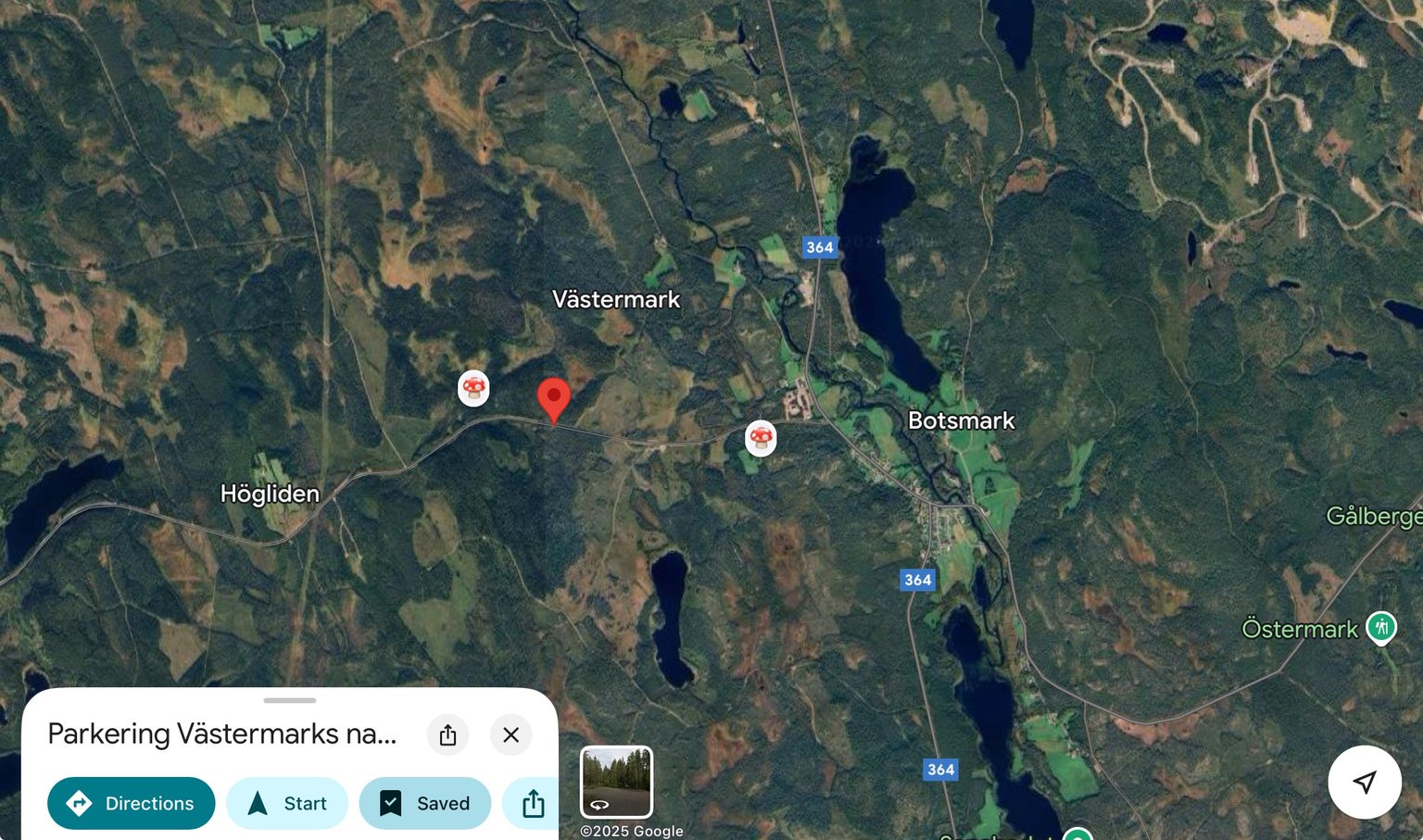
It is located just next to Botsmark. Yes… for the observant reader/ viewer… I also marked some chanterelle locations for myself in that area to forage 😉
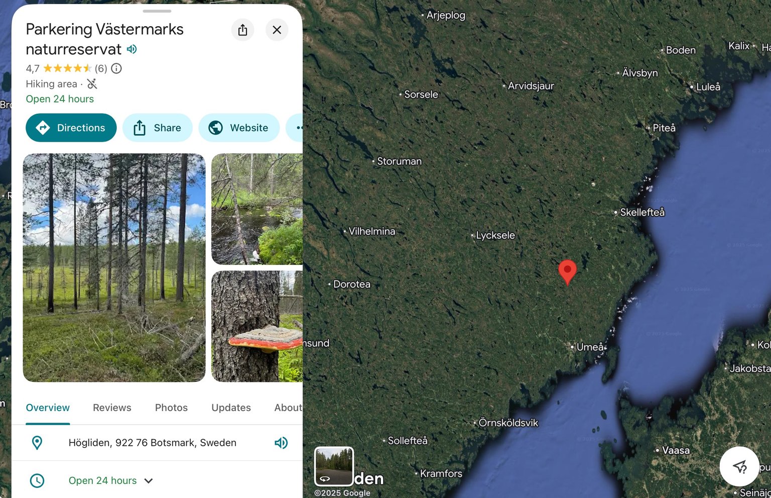
Zooming out we see the location of this nature reserve is rather north in Sweden.
Only the parking area is marked on the maps. A shame the nature reserve itself and trails are not...
More info you find here; Västermark Naturreservat and in english here; Västermarks nature reserve!
At the End of December 2024 I already shared a little post about this area during the WINTER. See here!
We couldn’t enter the #nature #reserve… read: we could not walk over the paths at all, as the snow was too deep and it was not maintained in the winter. I promised to share a whole hike I did in autumn 🍂 before the snow. To show you this #awesome #TRAIL when I could walk it. (here it is @joetunex )
Without keeping you further in suspense… are you ready to join me on this longgggg hike?
Ok 😁
Let’s goooo…
"We parked our cars on the parking area." (About 5 cars will fit.)
I don’t show you the start today, the parking area and the part we did walk in above’s post from December. So we start about 100 meters in.
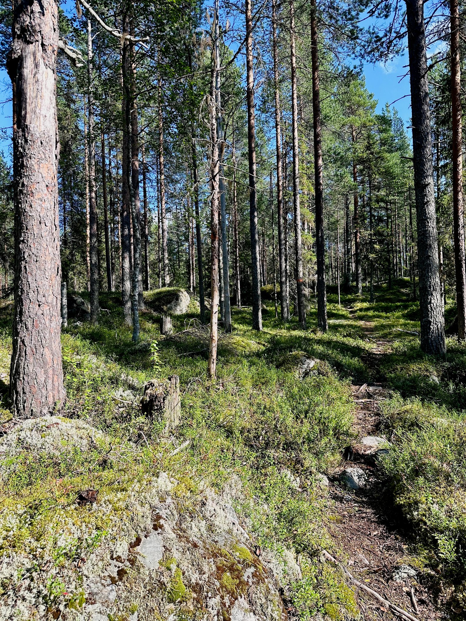
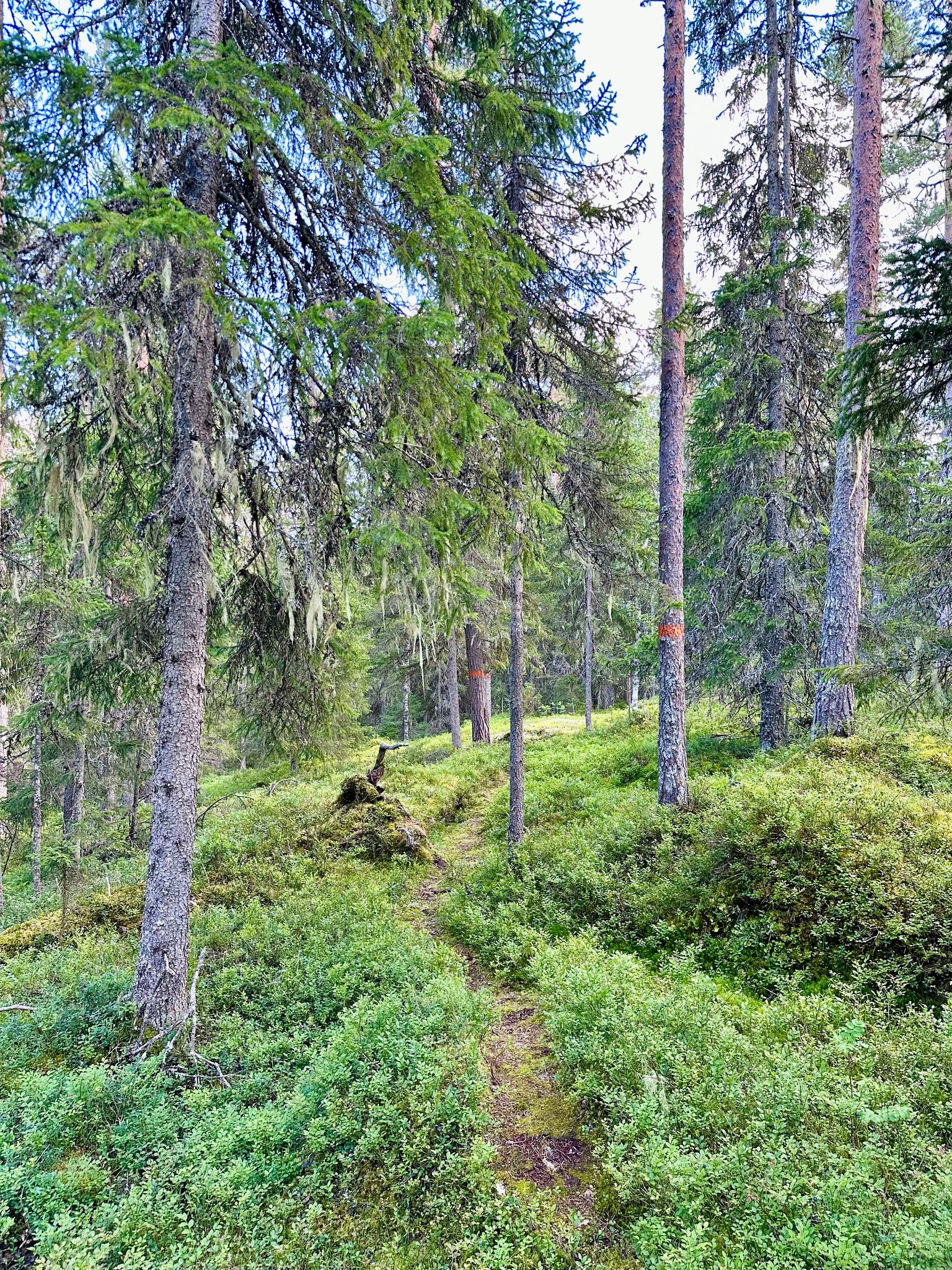
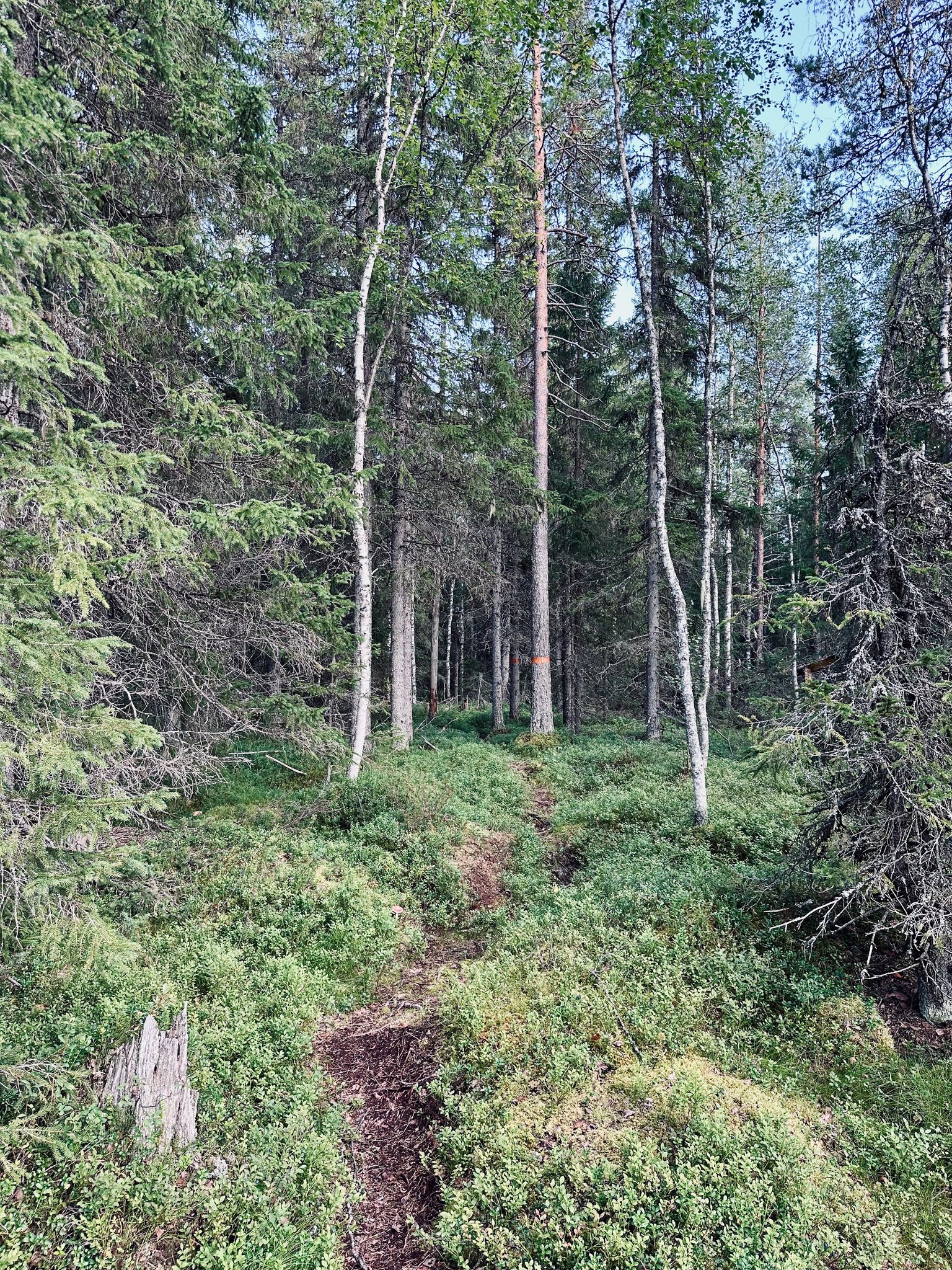
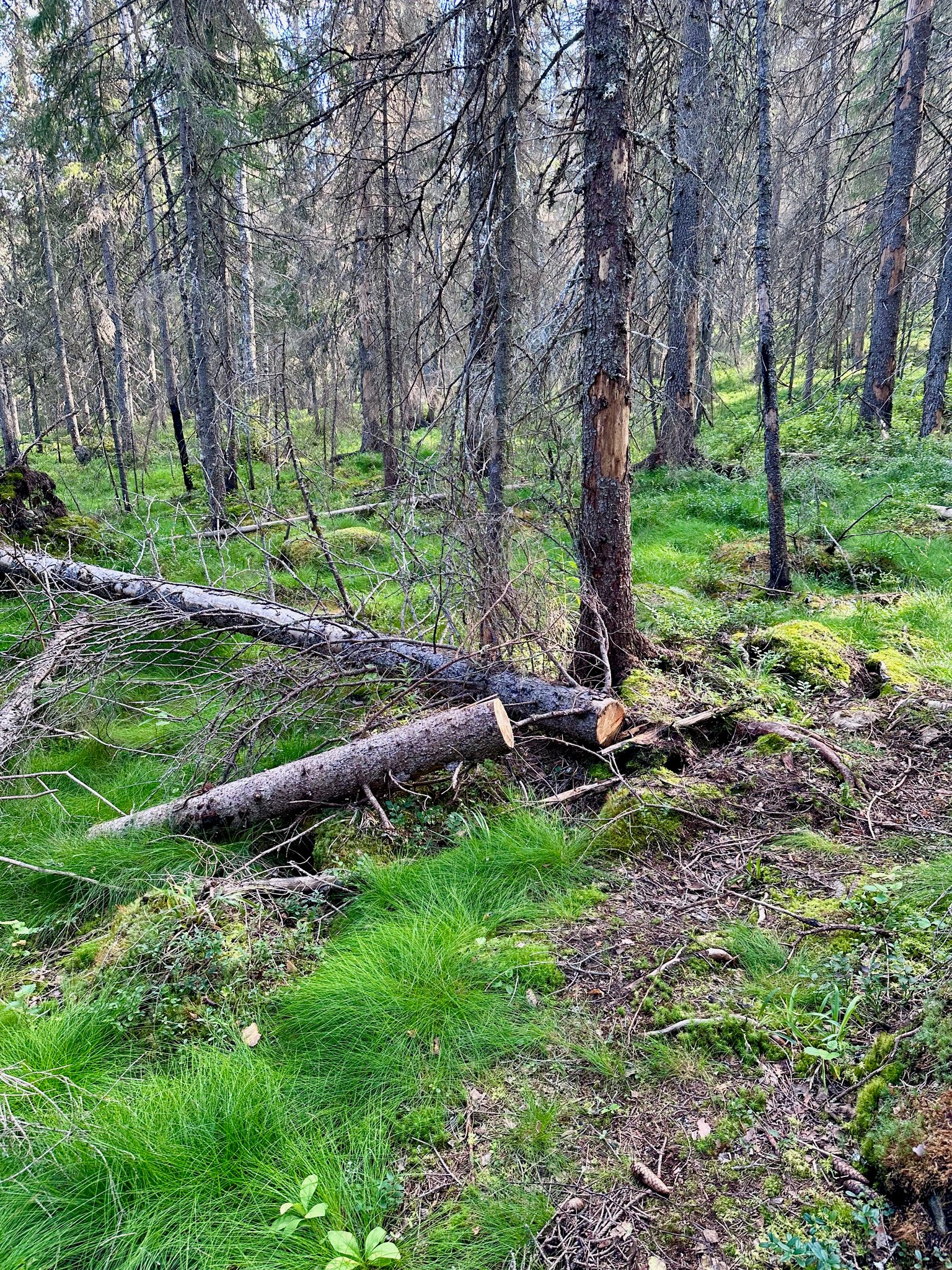
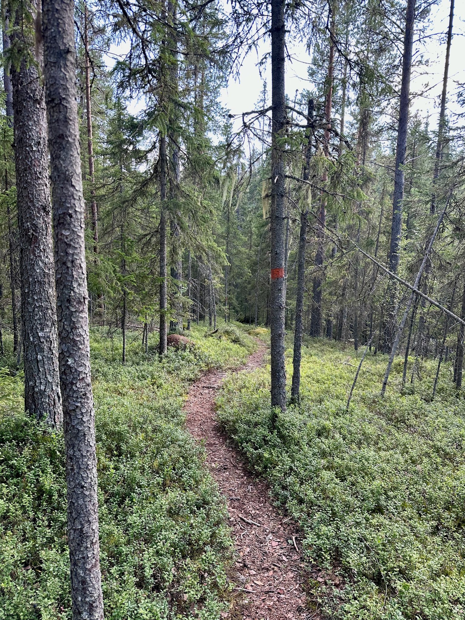
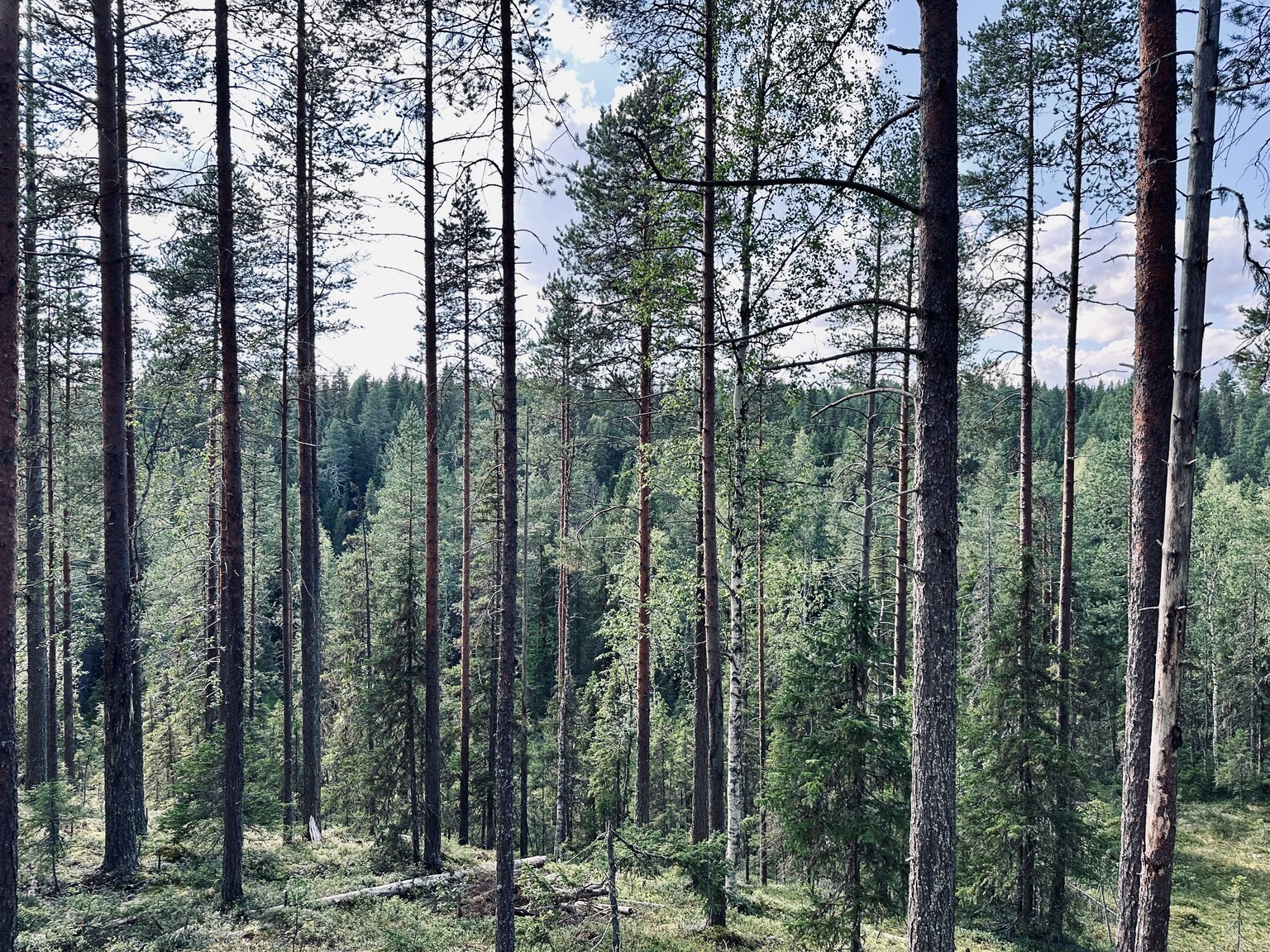
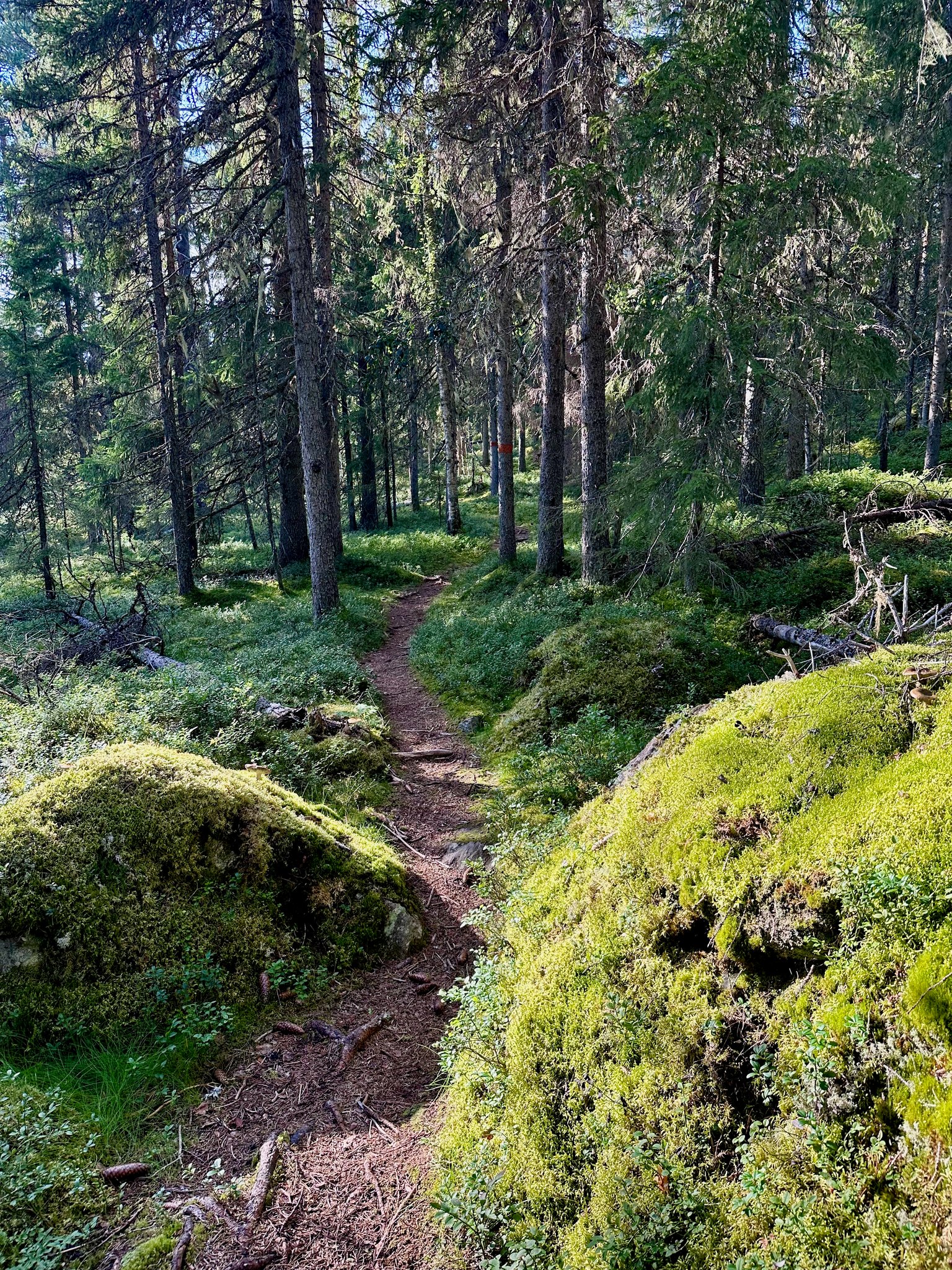
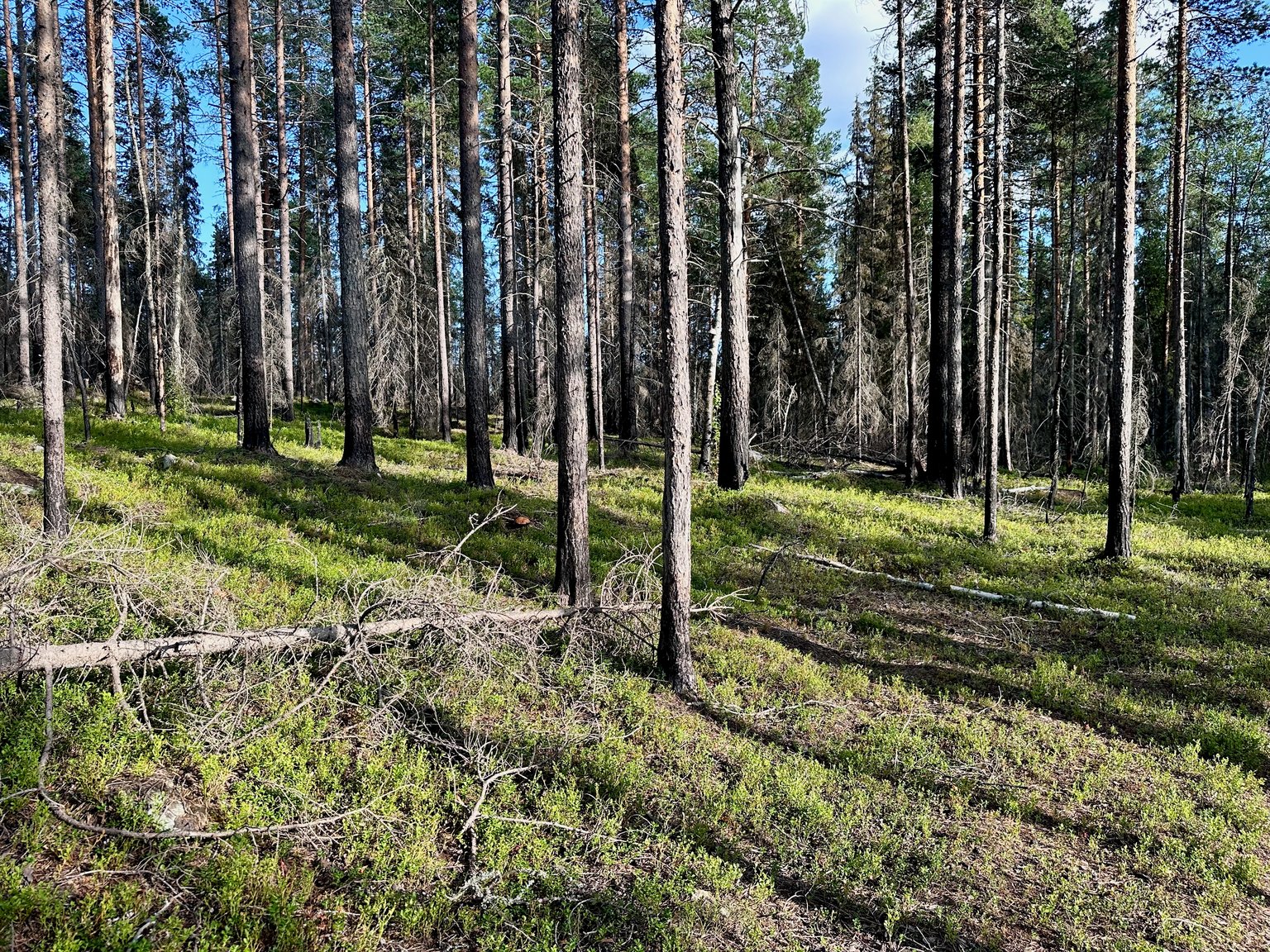
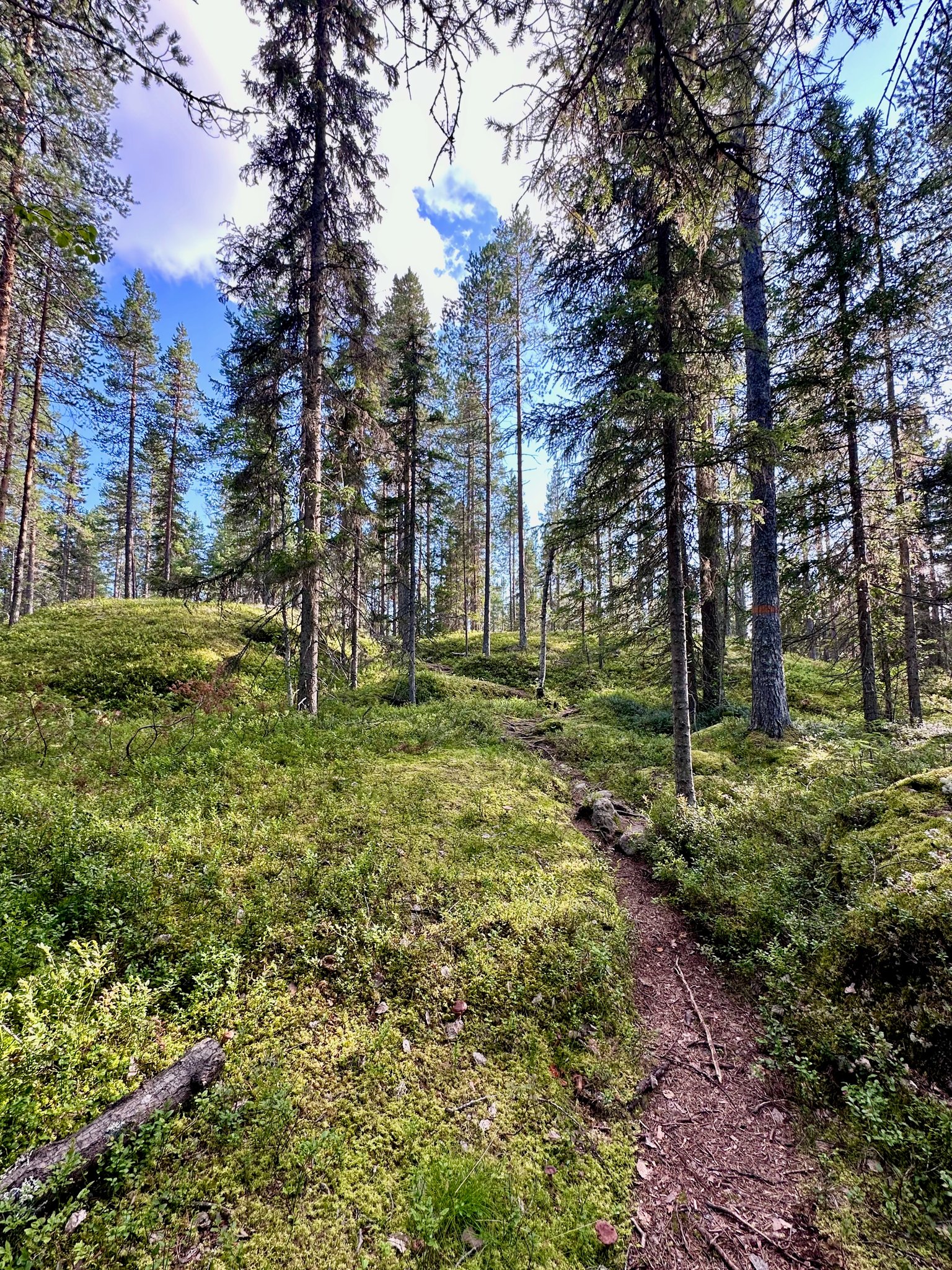
Our view of the #FOREST 🌳
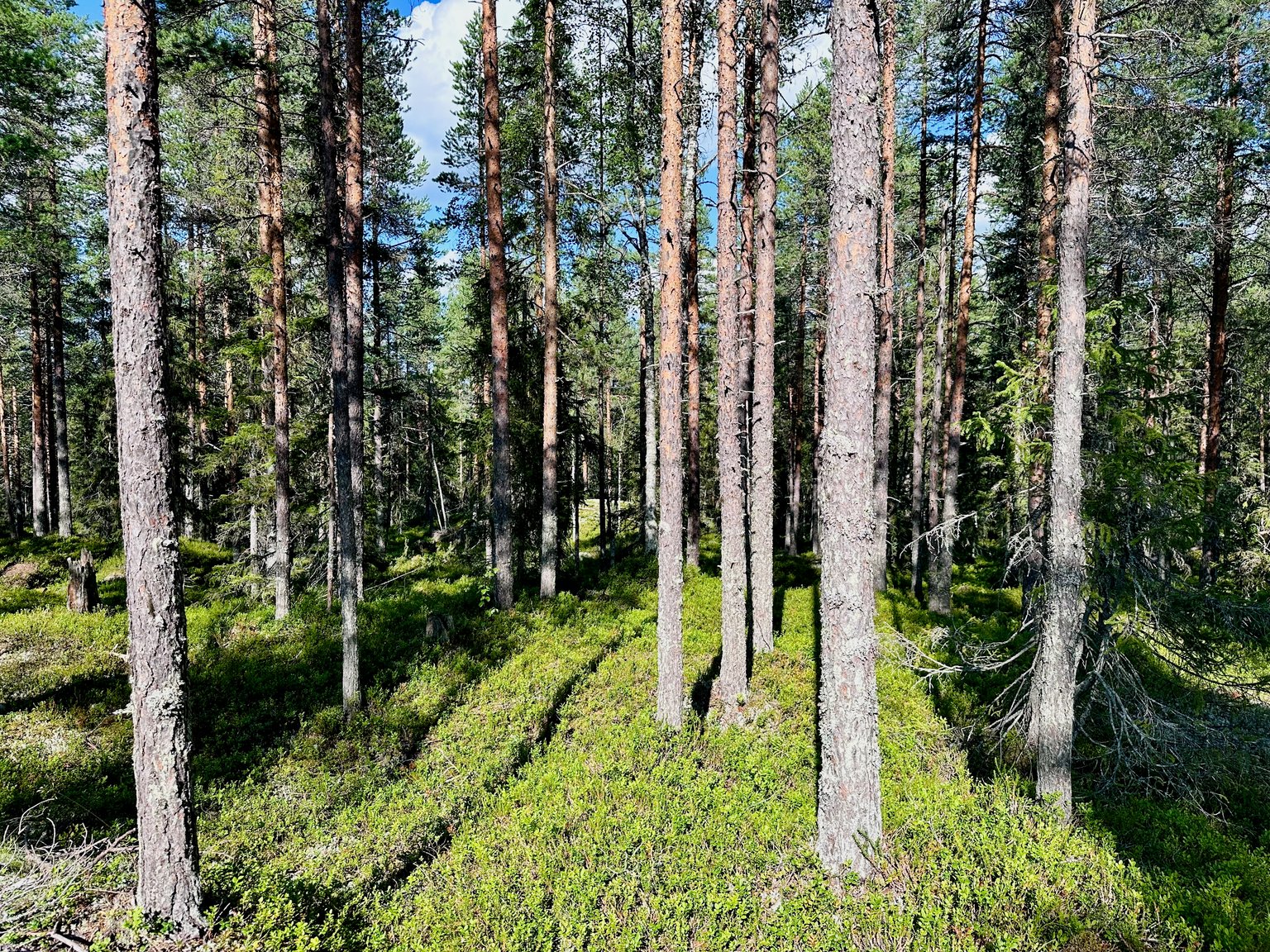
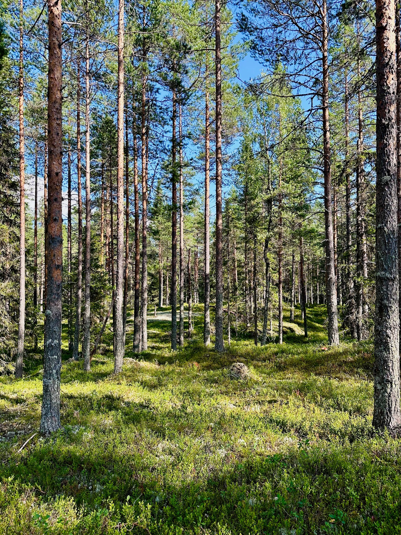
The terrain and some parts of our path is rough, covered with rocks 🪨 and roots, we have to climb some to get to the higher grounds.
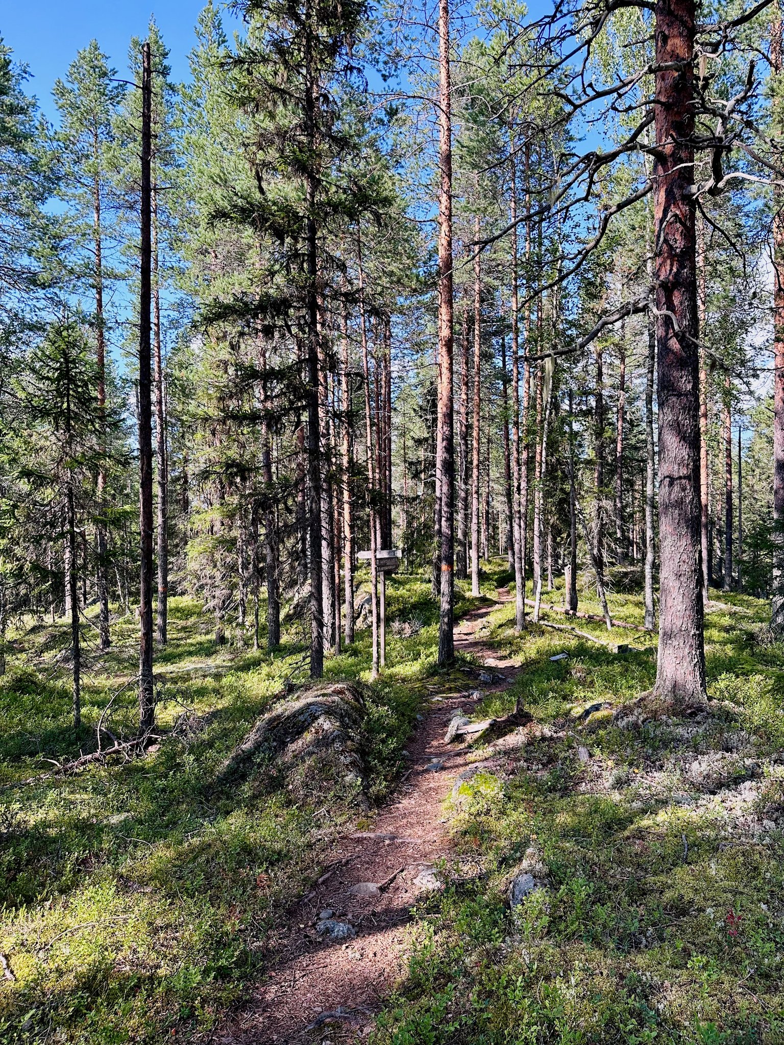
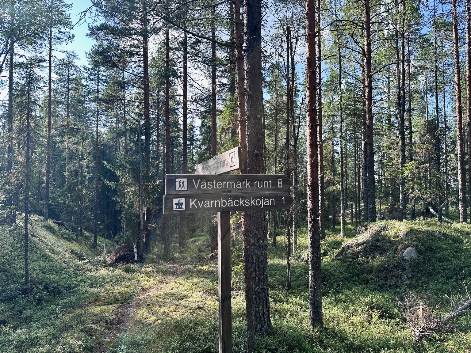
At the cross roads we see this sign. We could go right to the cabin or follow the long loop around from 8 km.
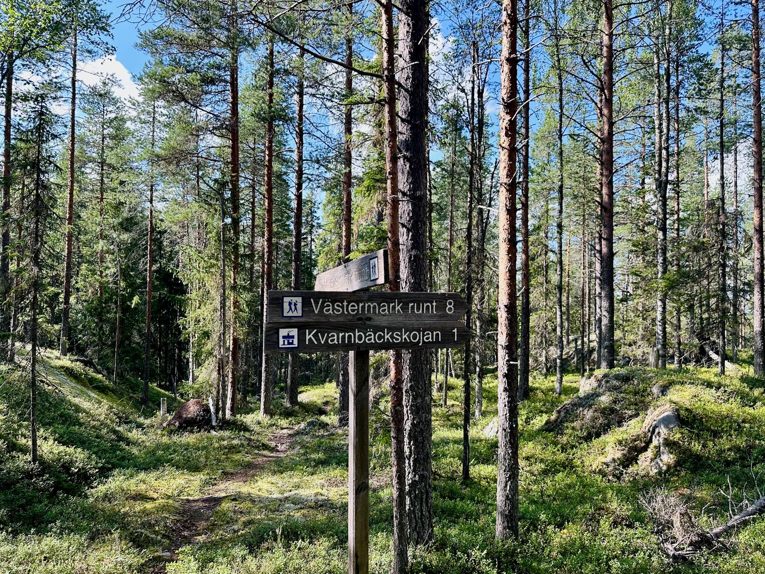
We chose to follow the long hike around the #NATURERESERVE. 😊
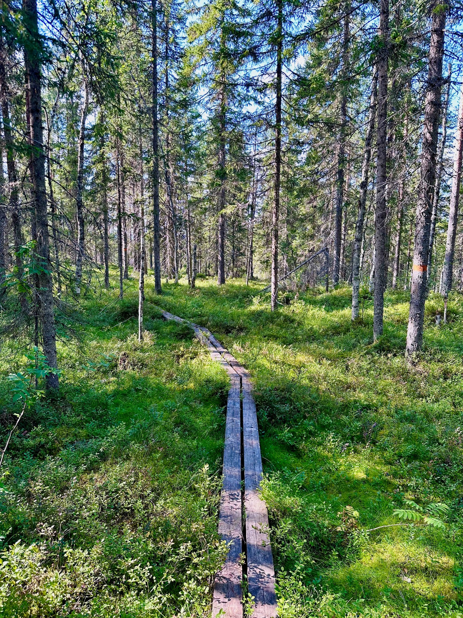
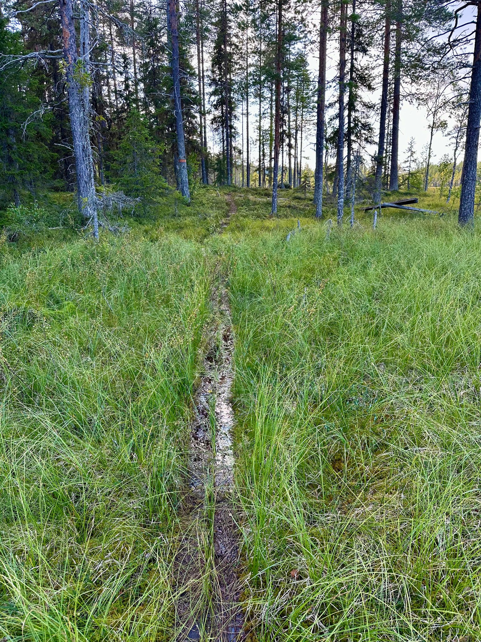
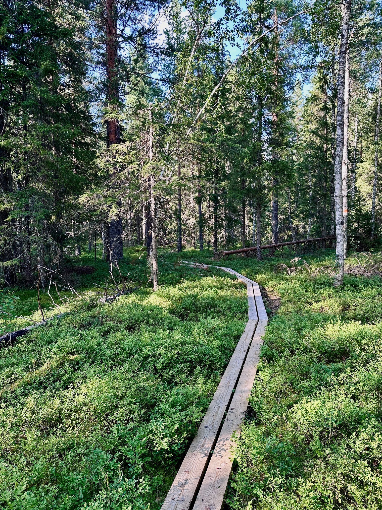
As we wander and wander we discover some areas have boards to walk over. To not disturb the forest grounds and not step in the wet and soggy areas 😂
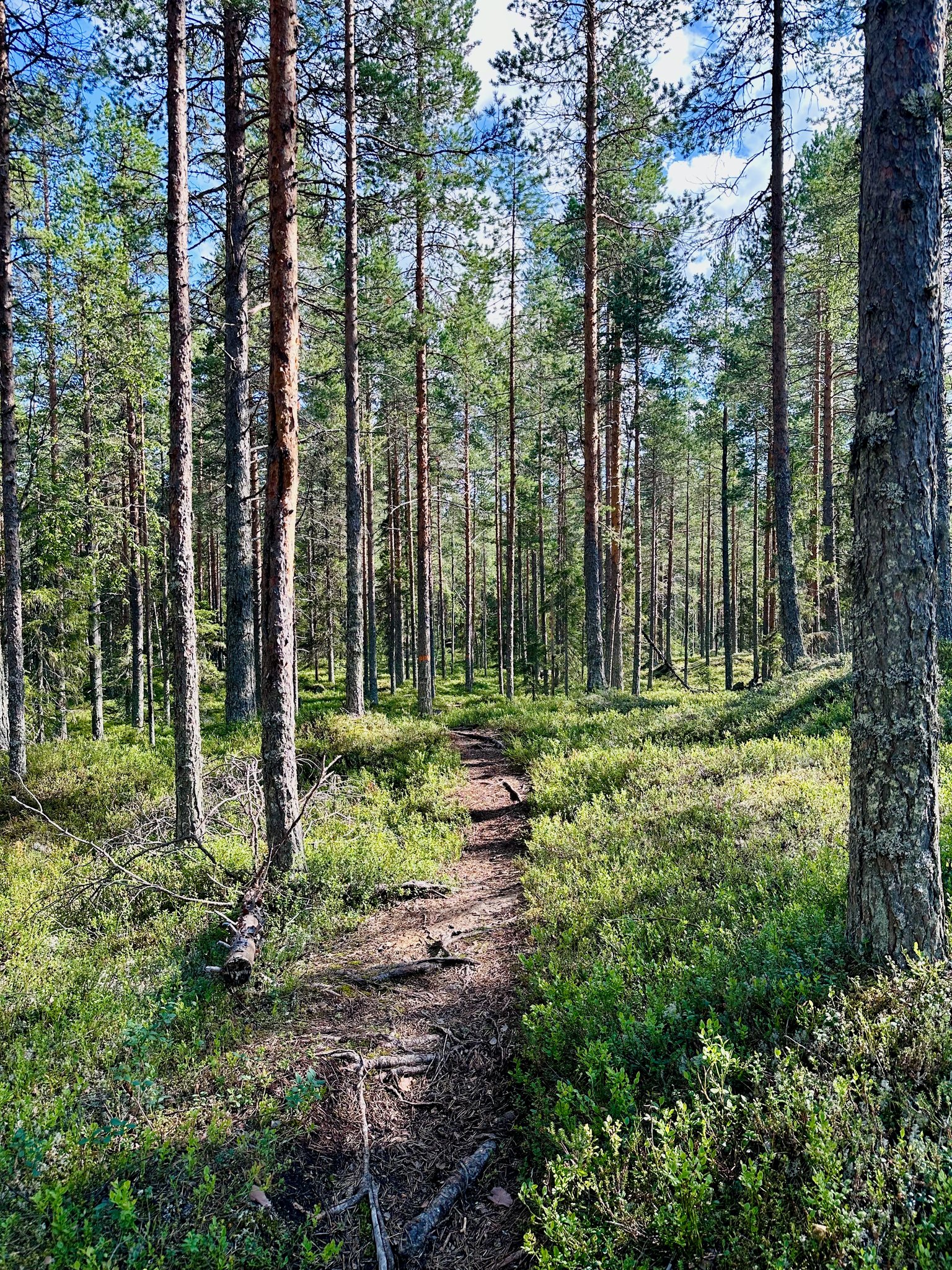
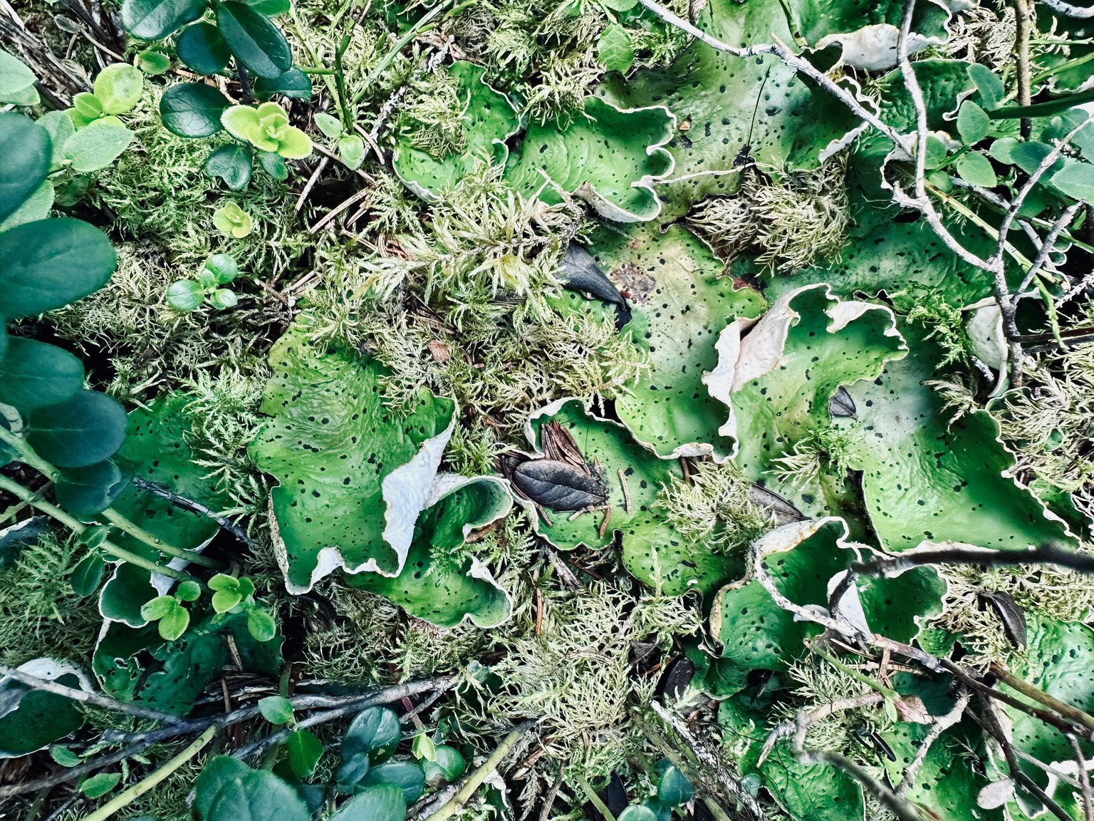
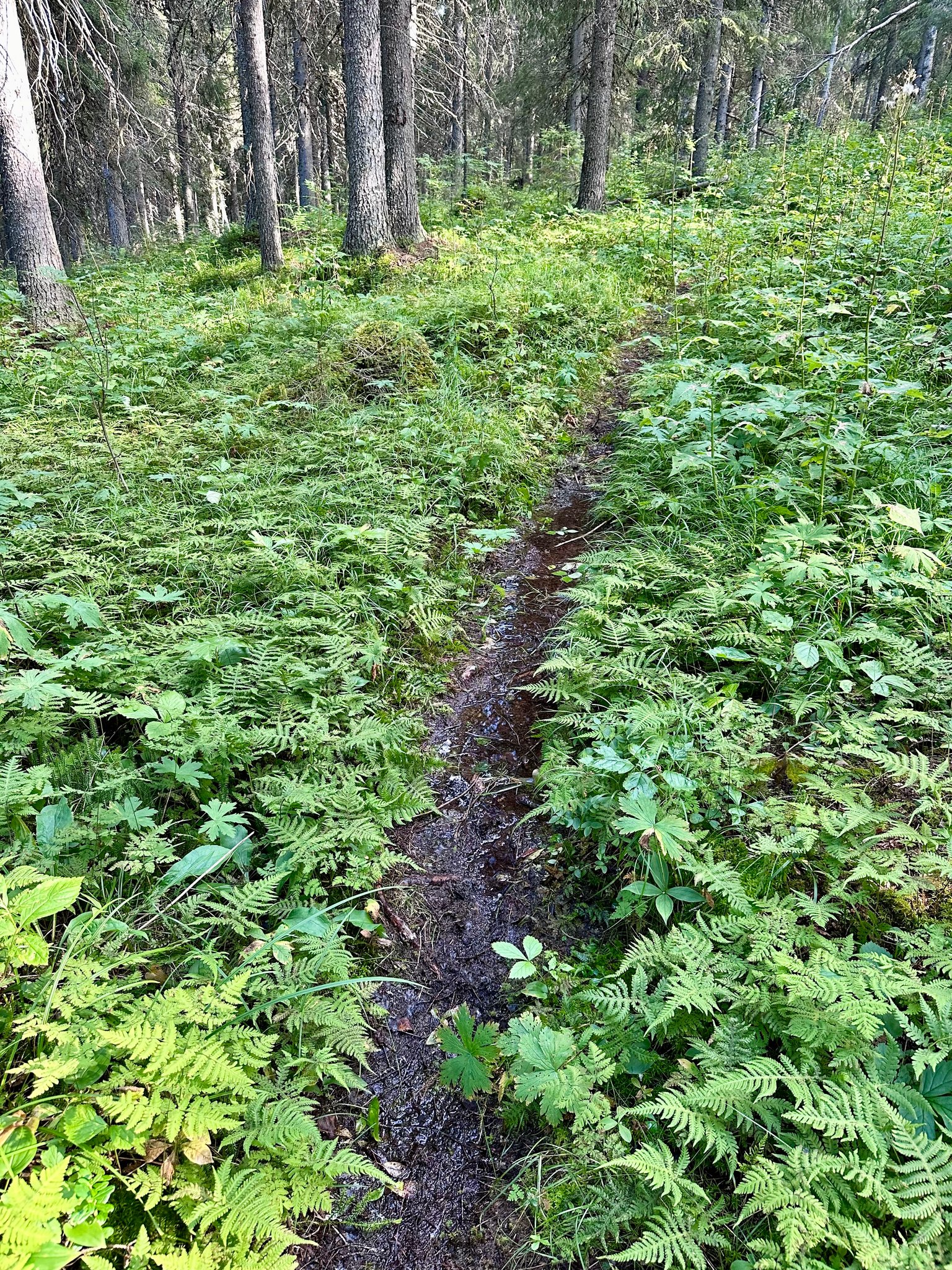
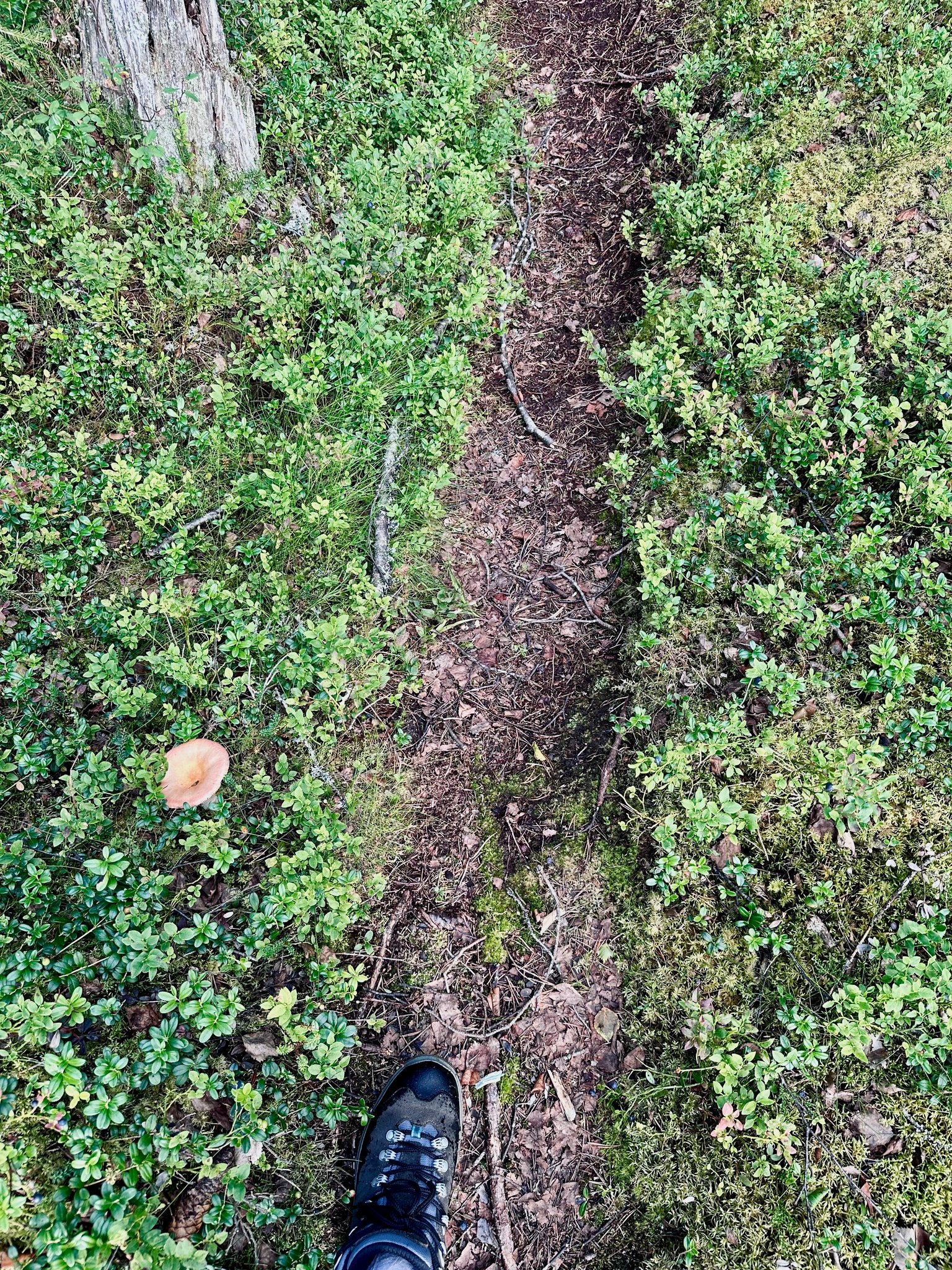
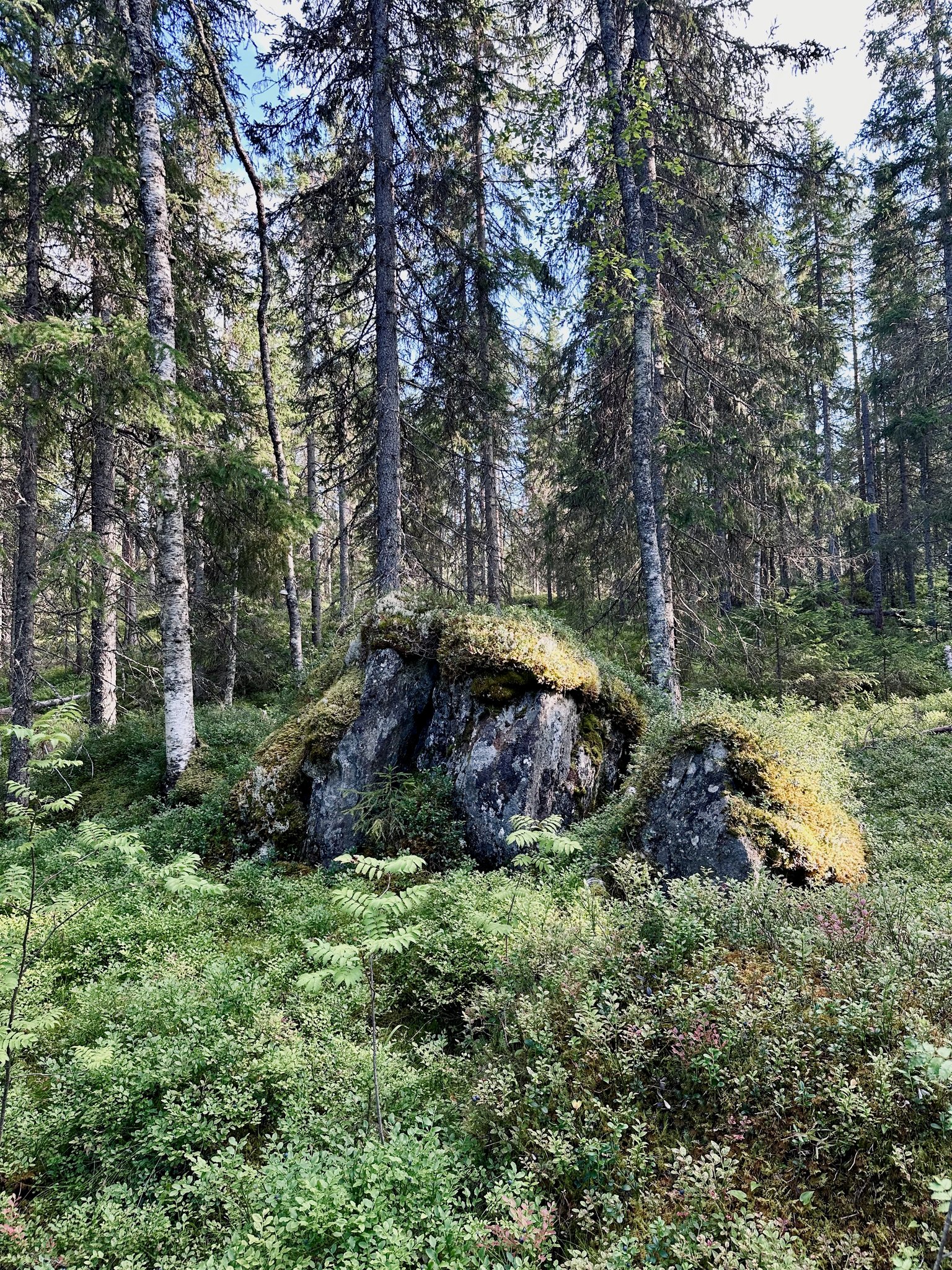
I am amazed by the #vegetation on the grounds and rocks. Just look at how pretty this path is 🥰
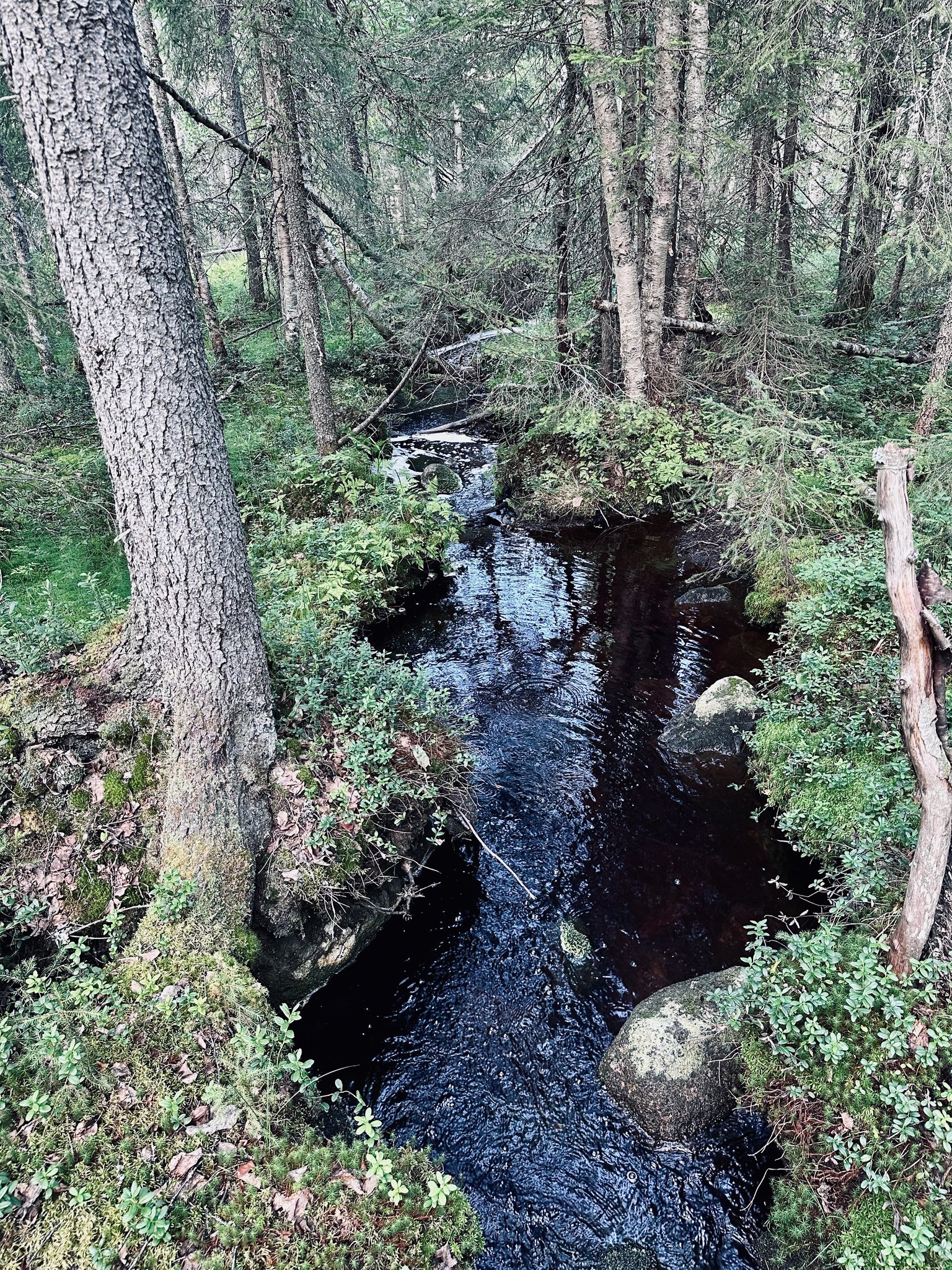
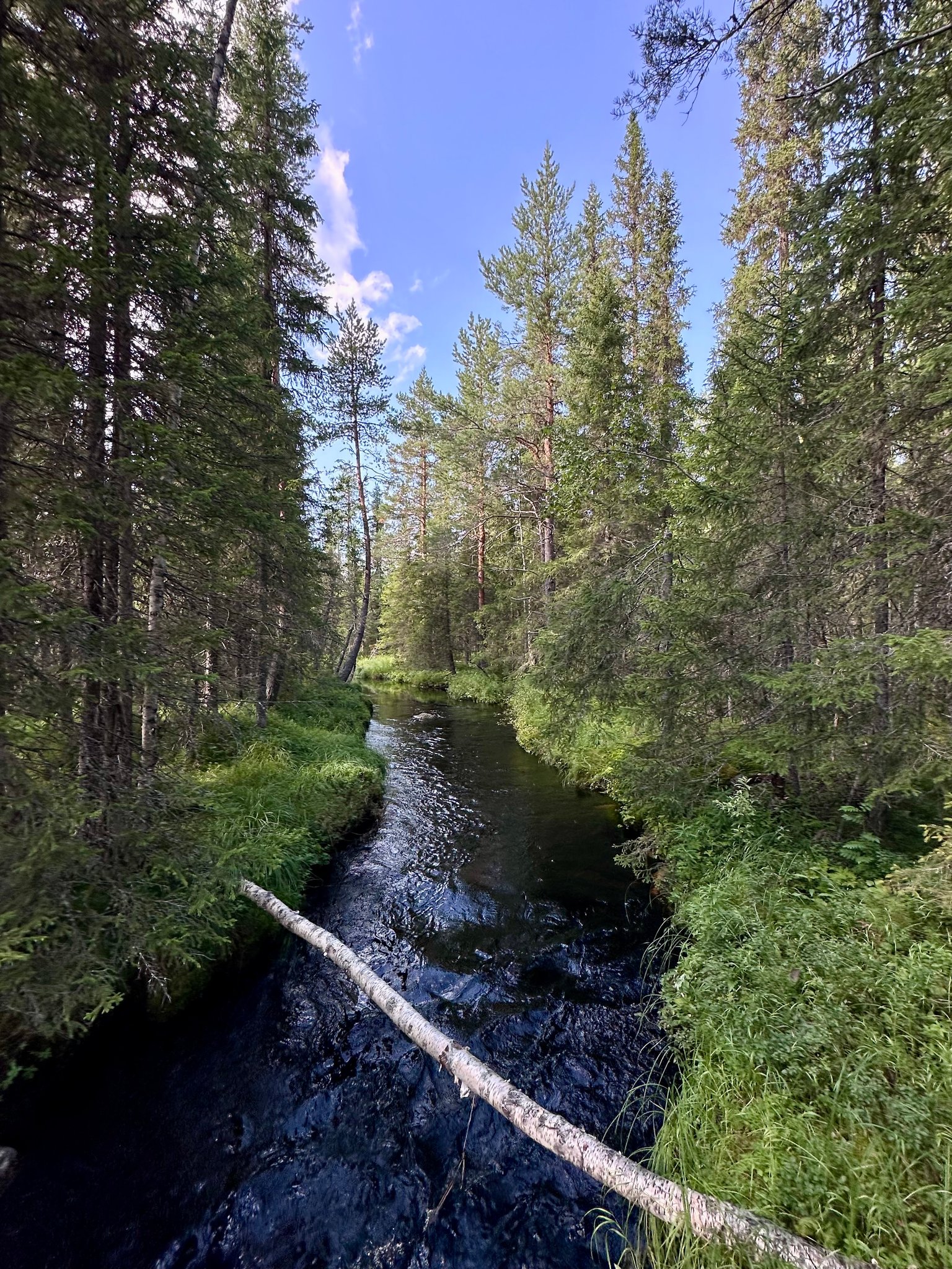
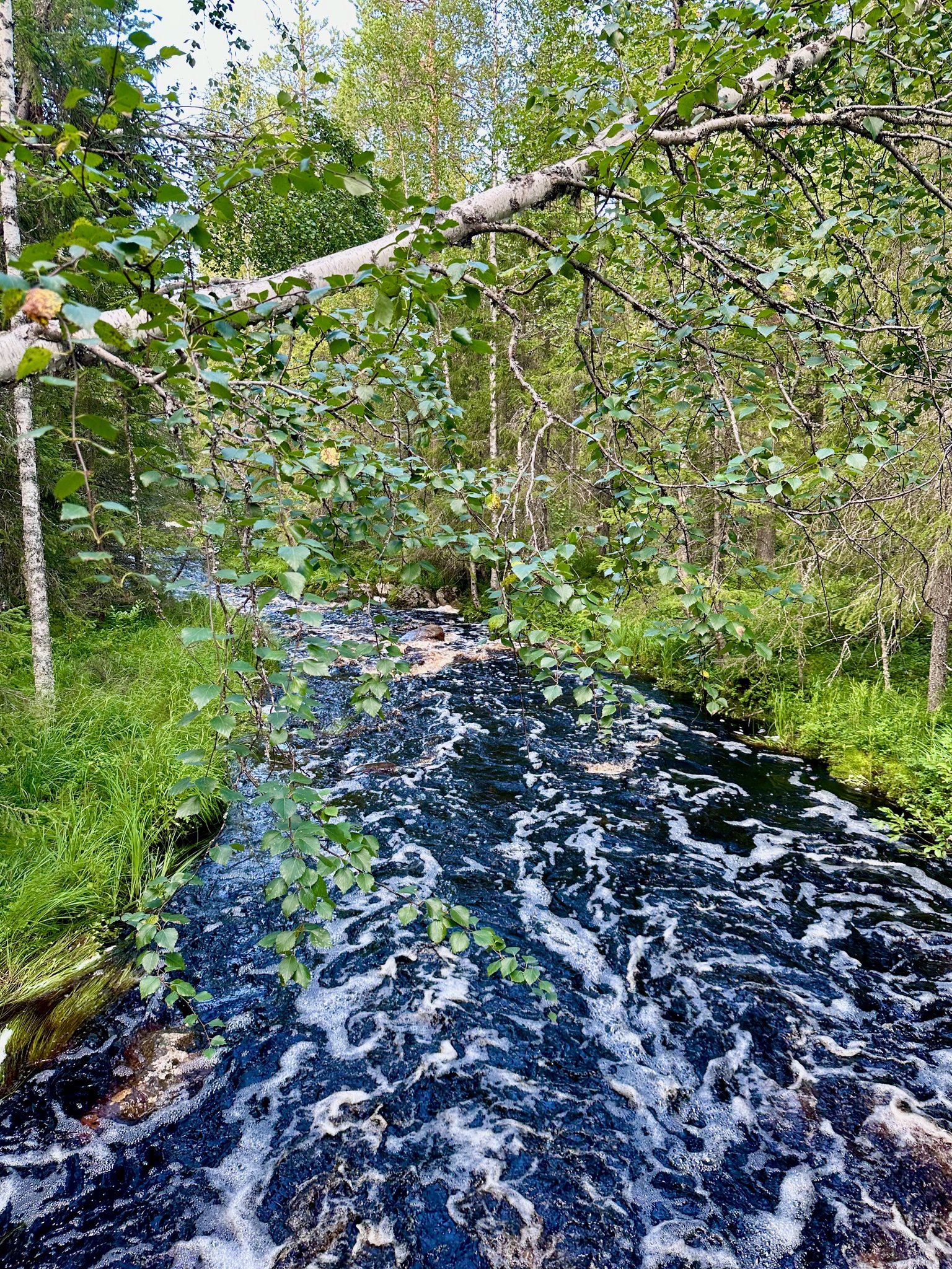
We walk next to a little steam…
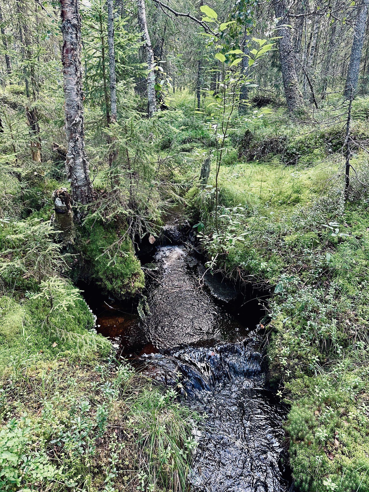
We cross it by a wooden bridge (really 2 boards next to each other to cross actually 😆)
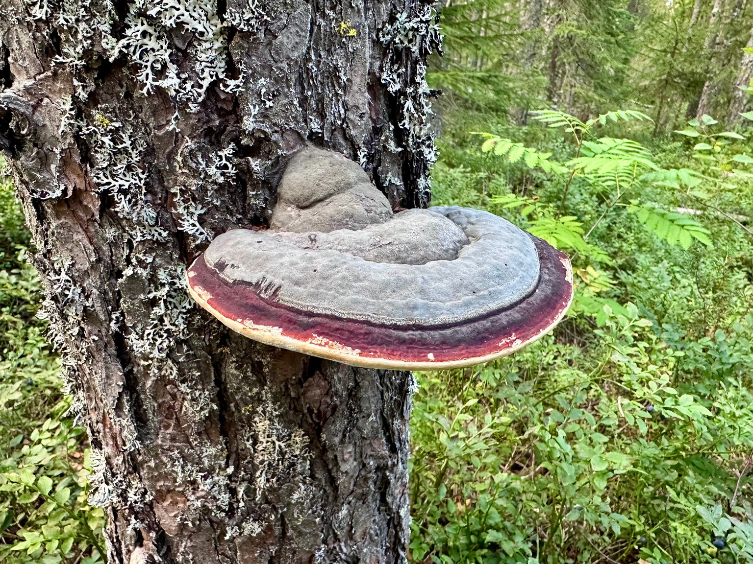
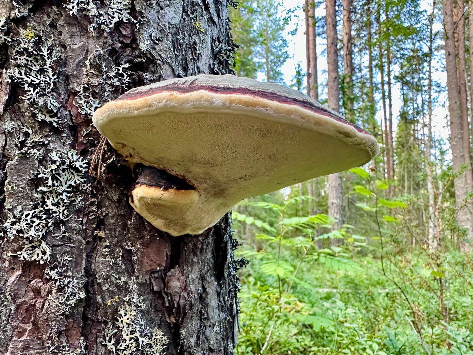
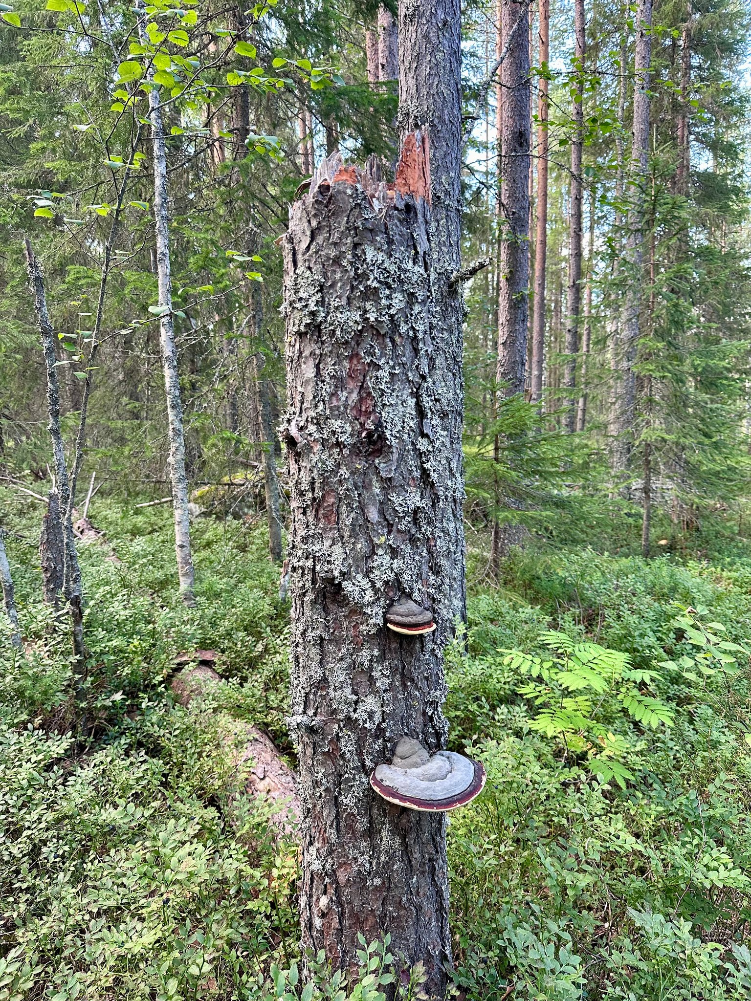
They were located on this tree 🌲 stump:
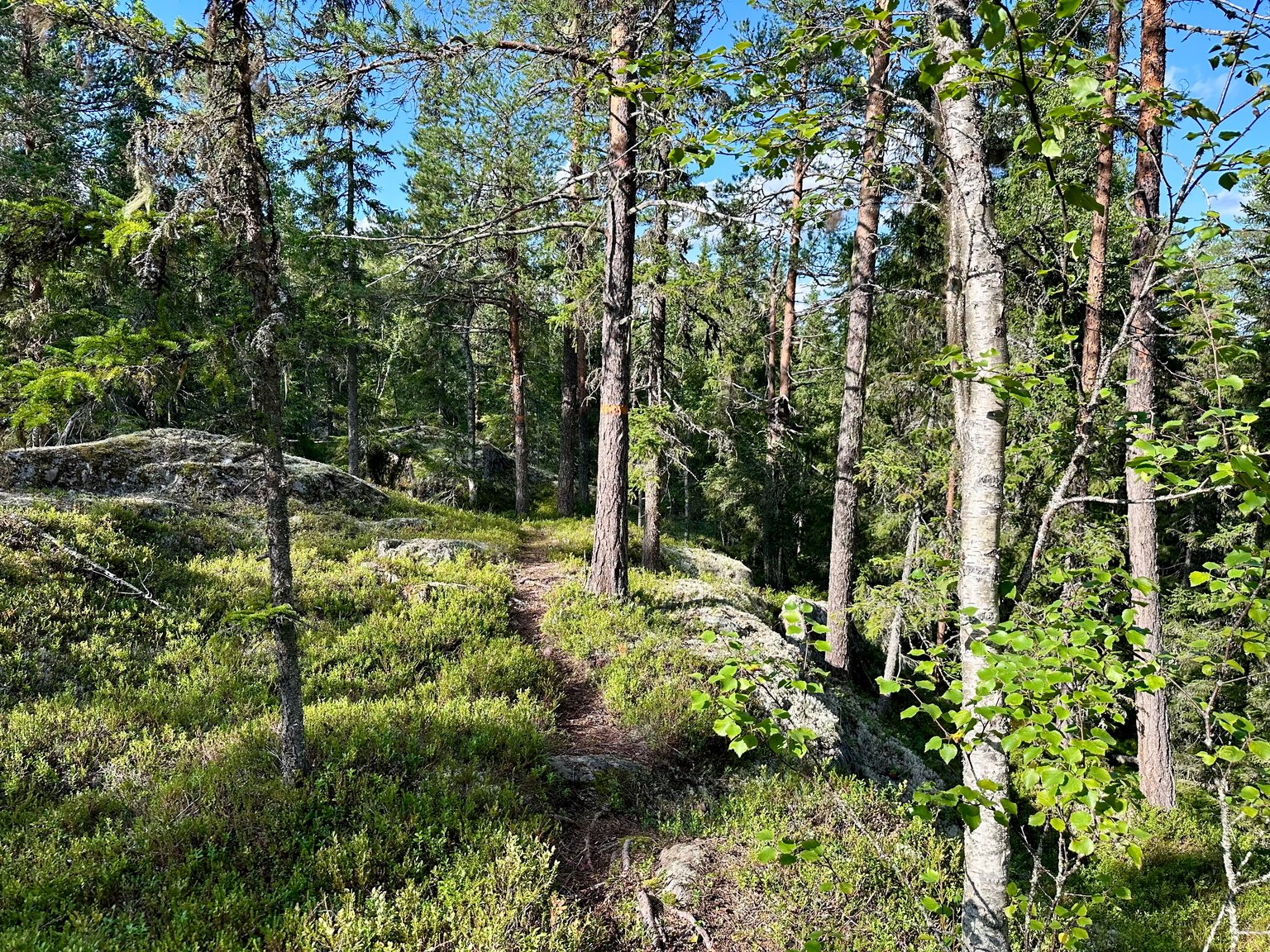
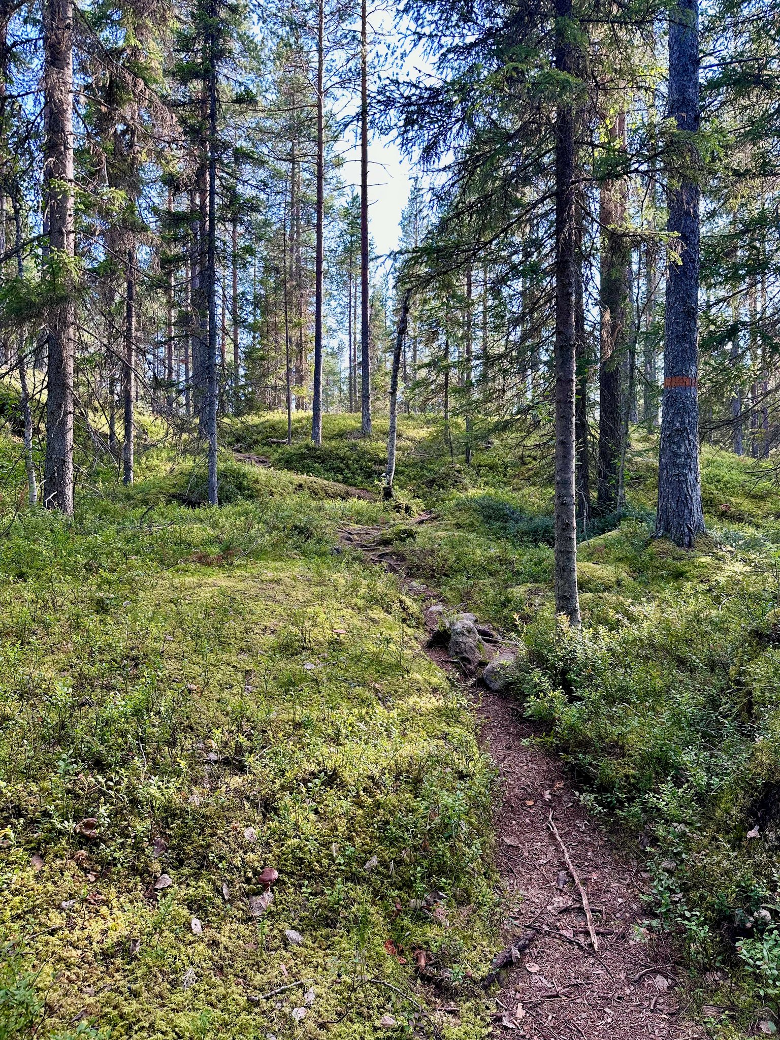
The trail is soft here and covered with #mosses
We climb up through steep paths along rock surfaces. Here you see our view. lots of #reindeer #moss on them.
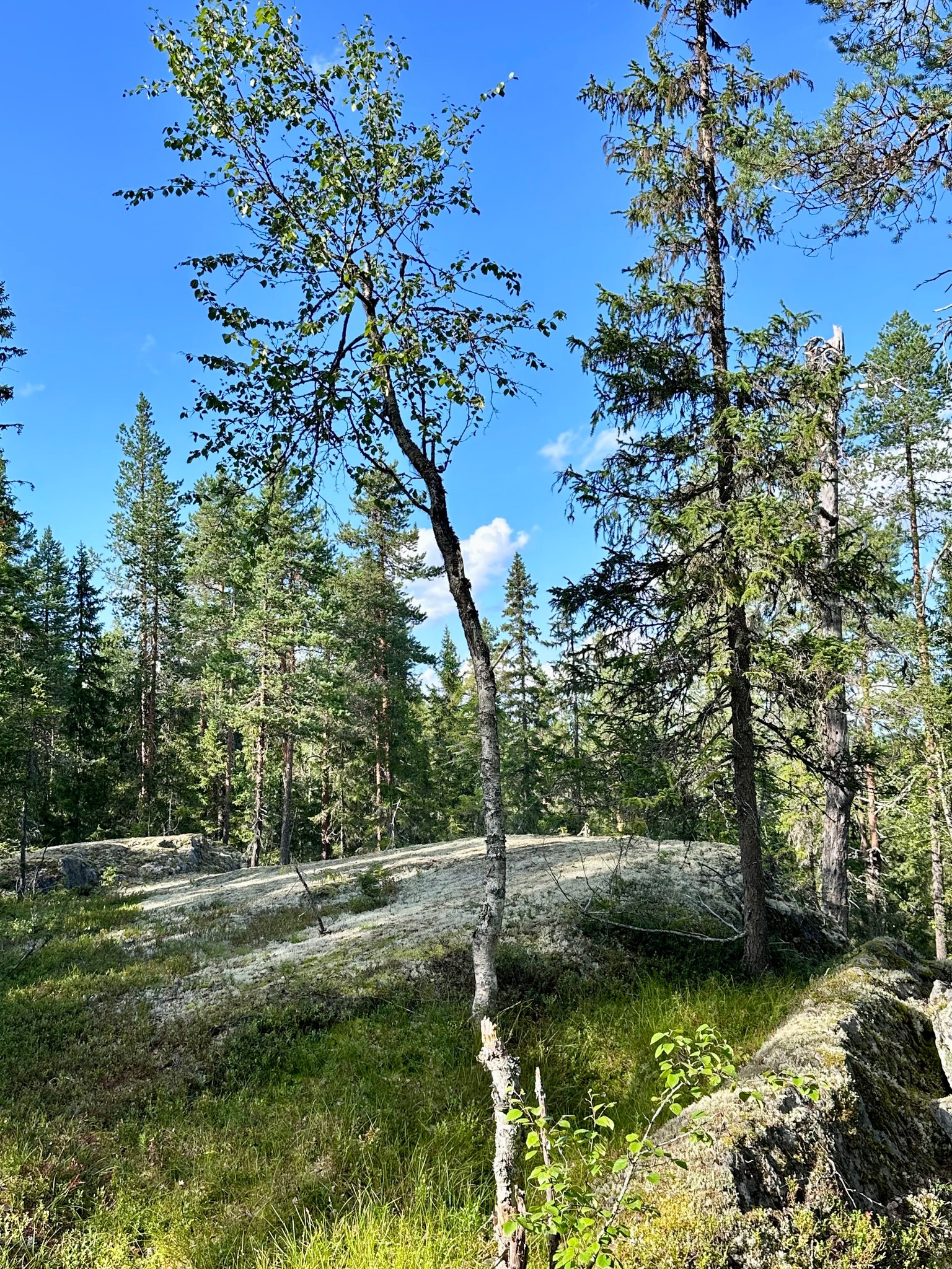
The #scenery is just breathtaking! 🥰
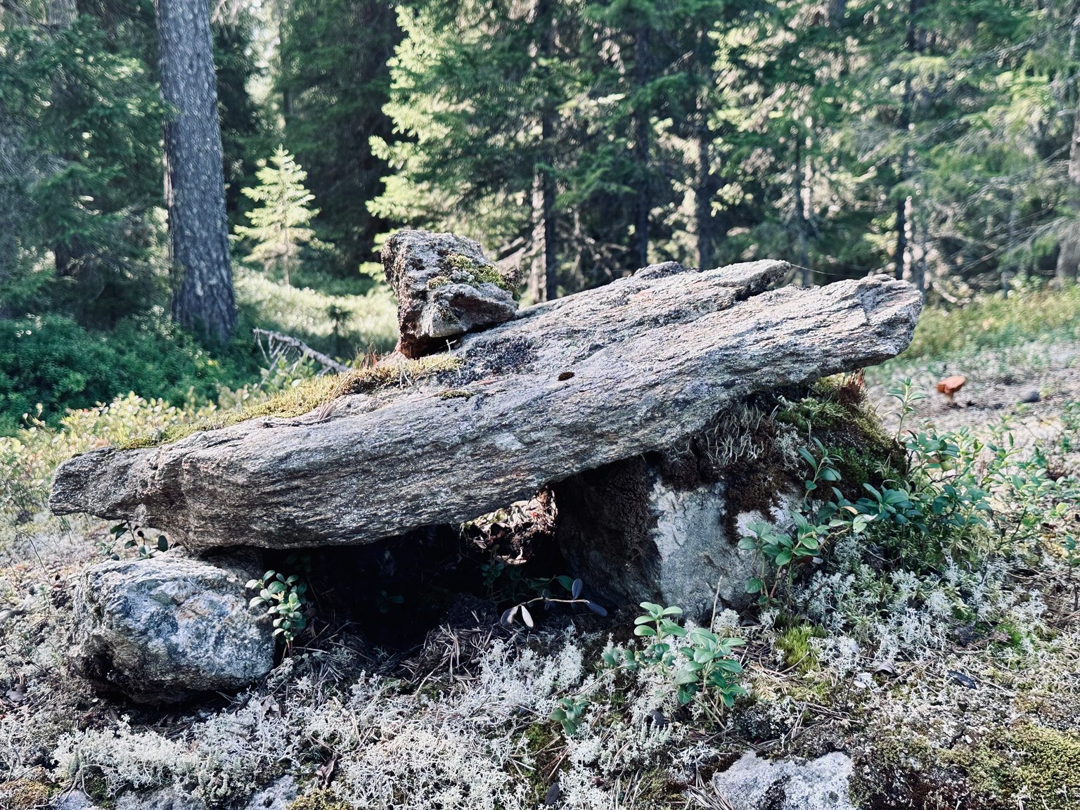
We see these rocks. My #favourite #photo of today.
As it had RAINED 🌧️ a few days before this walk... we are entering a wet area. The path is slippery with all the mud. We step next to it on the side.
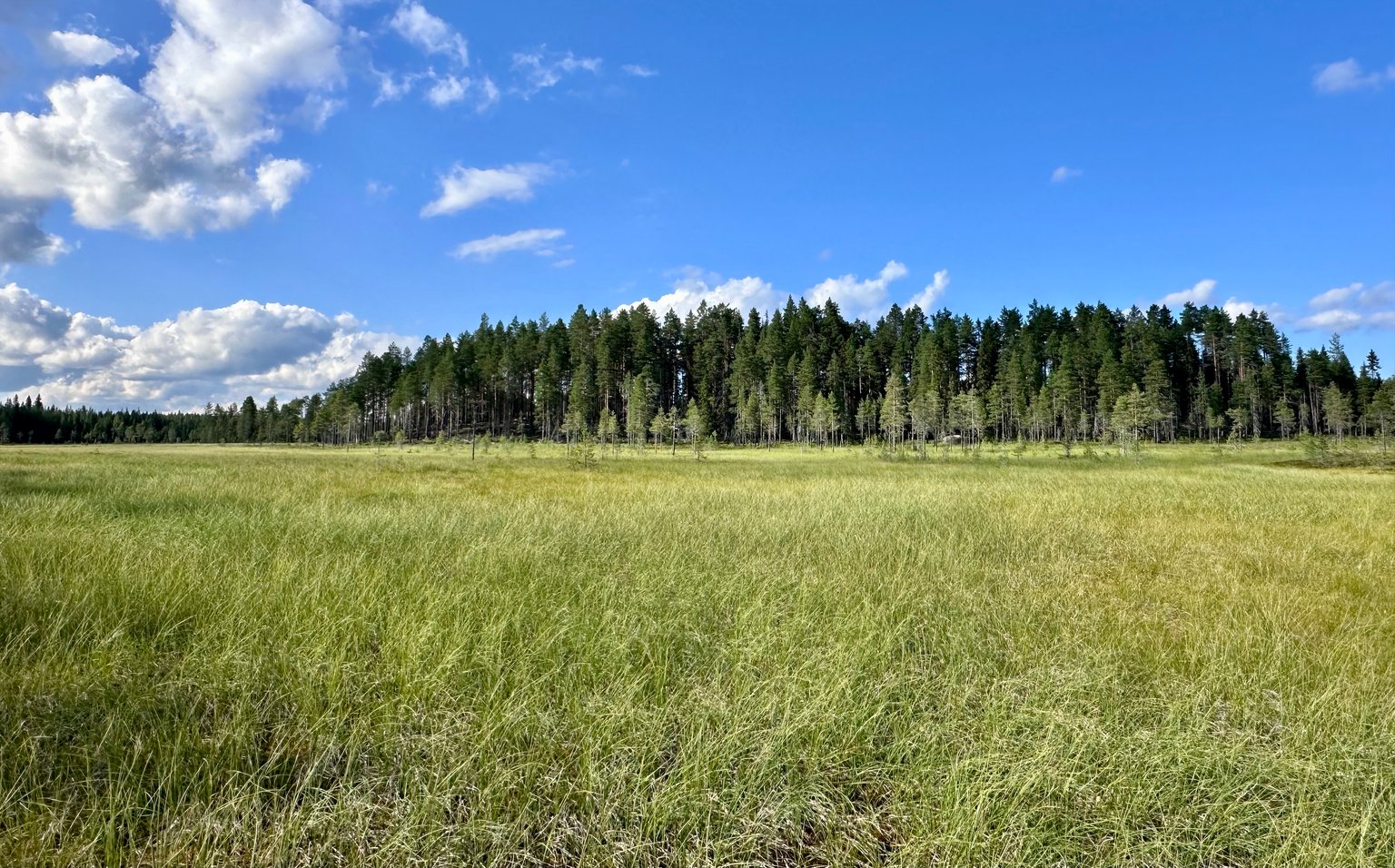
There are a few clouds in the sky, but so far the weather is good on this day. I love to be surrounded by so much greenery and stunning views. We are all alone in this forest. Not many people around here.
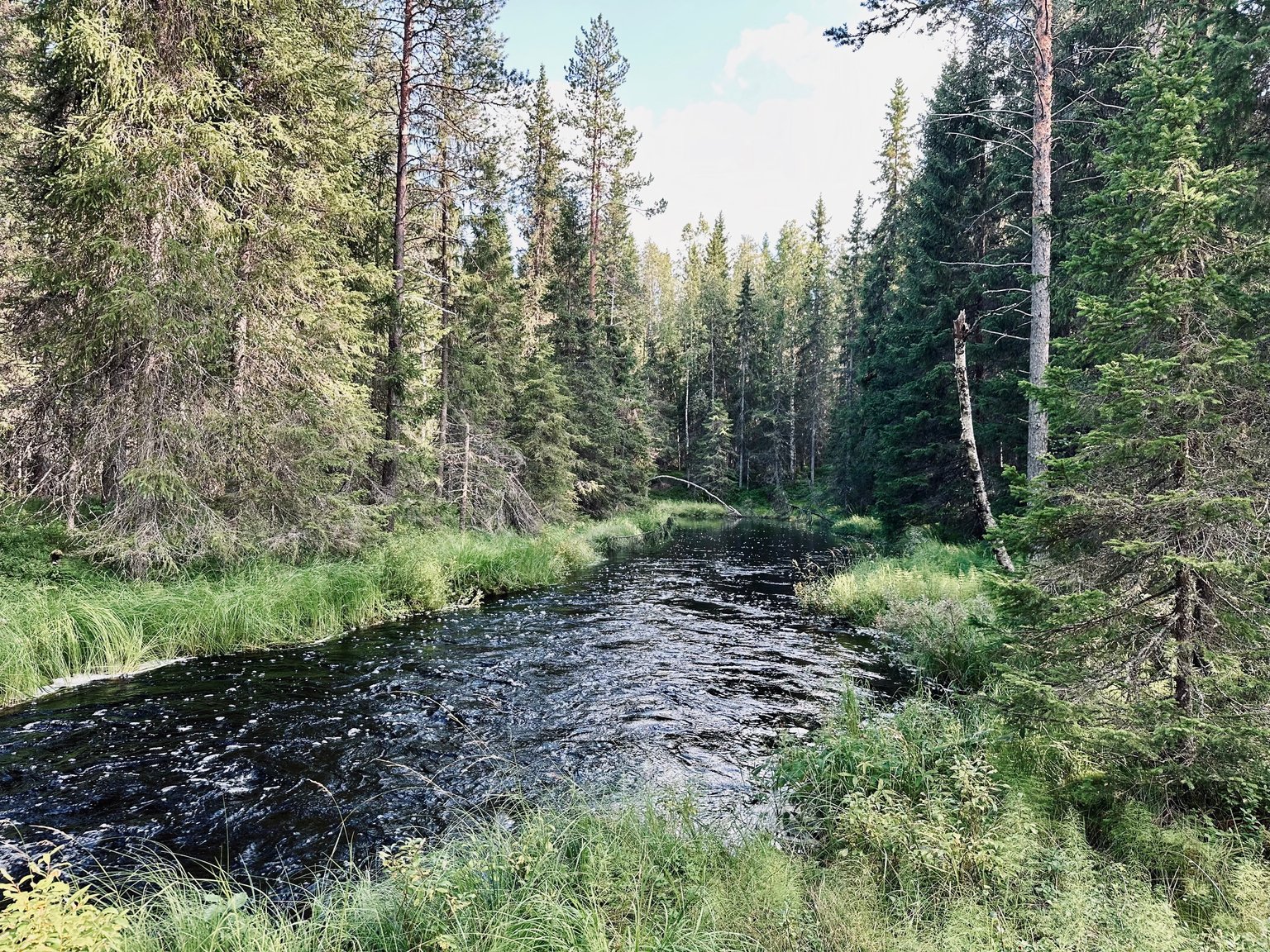
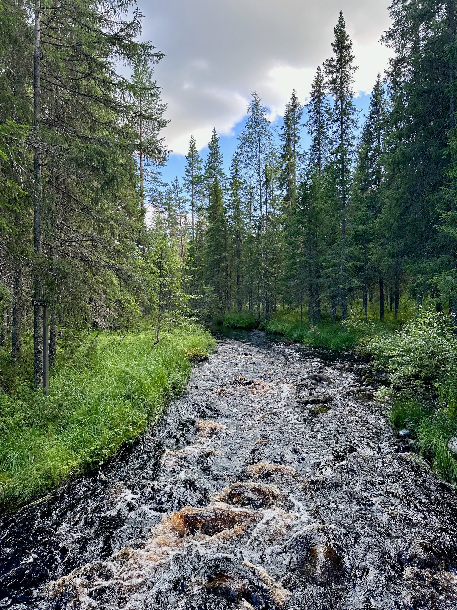
We see a river that crosses our trail 🥾🥾🥾
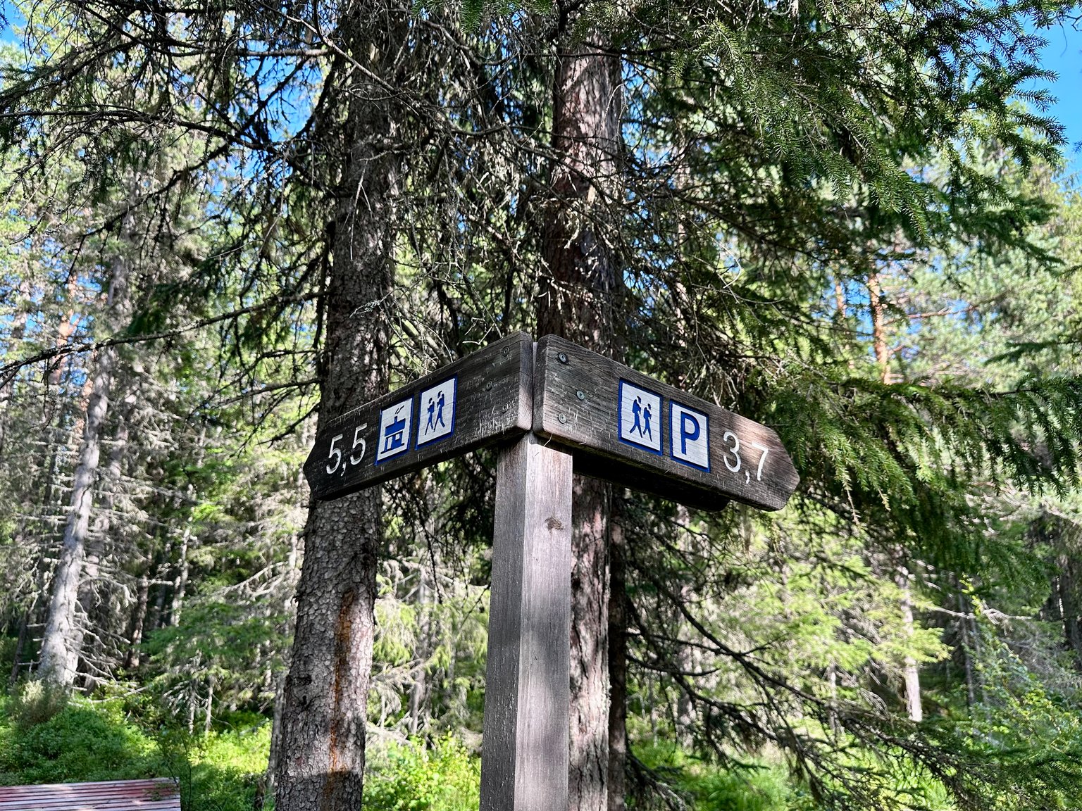
Next to it we see these signs. We still have 5,5 km to go... Are you still with me? 😀 Stick around... we have much more to discover!
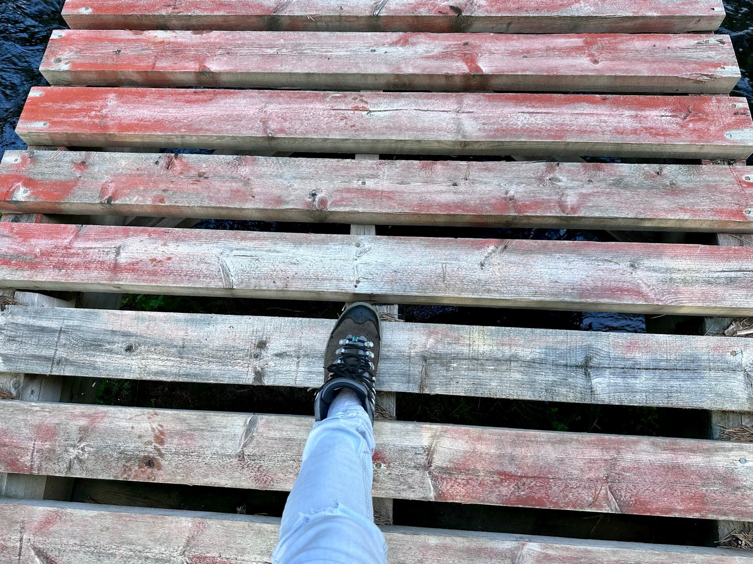
The bridge that crosses the river... Let's go over it.
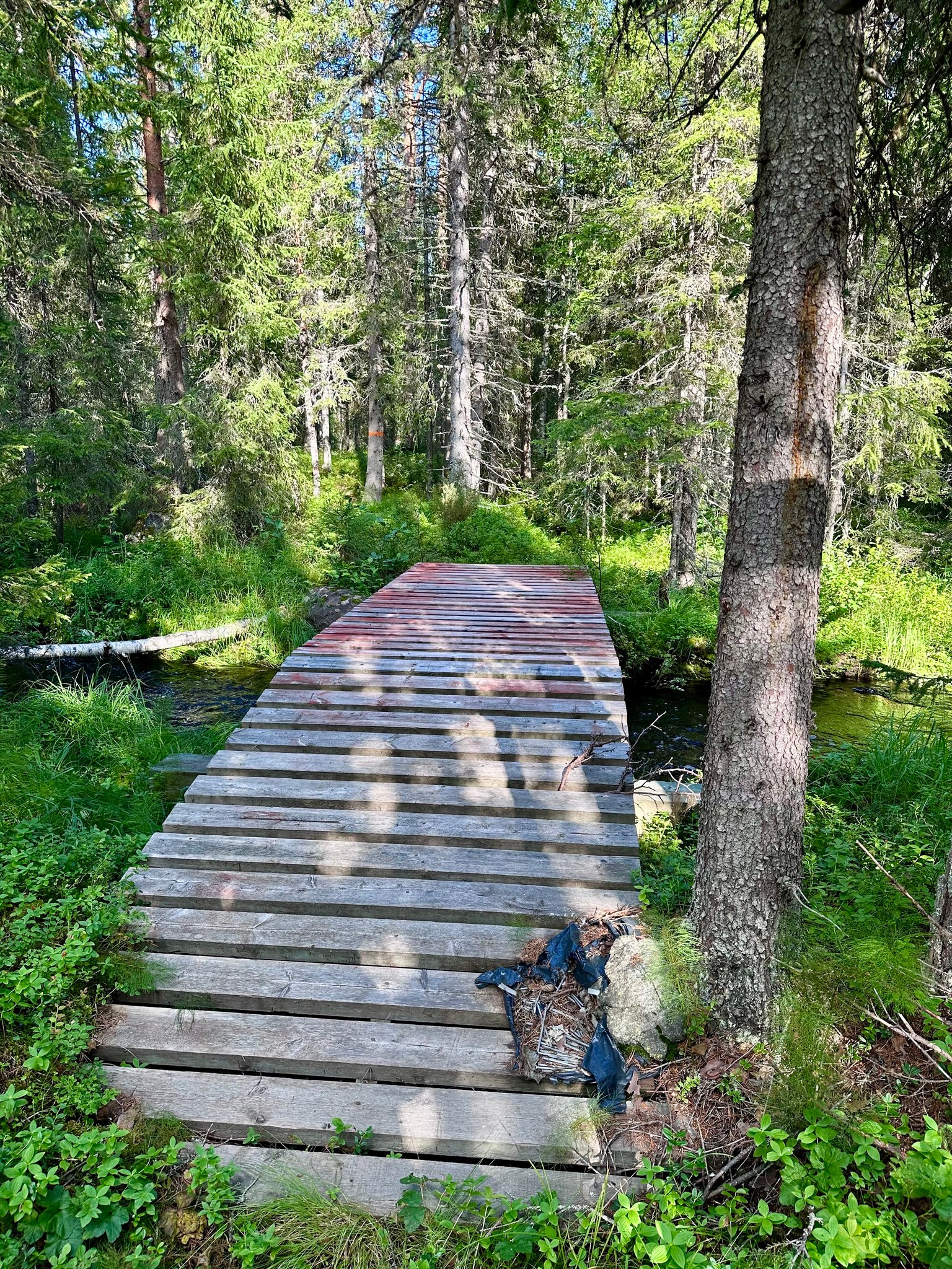
hhhmmm a bit wobbly hahaha 😂

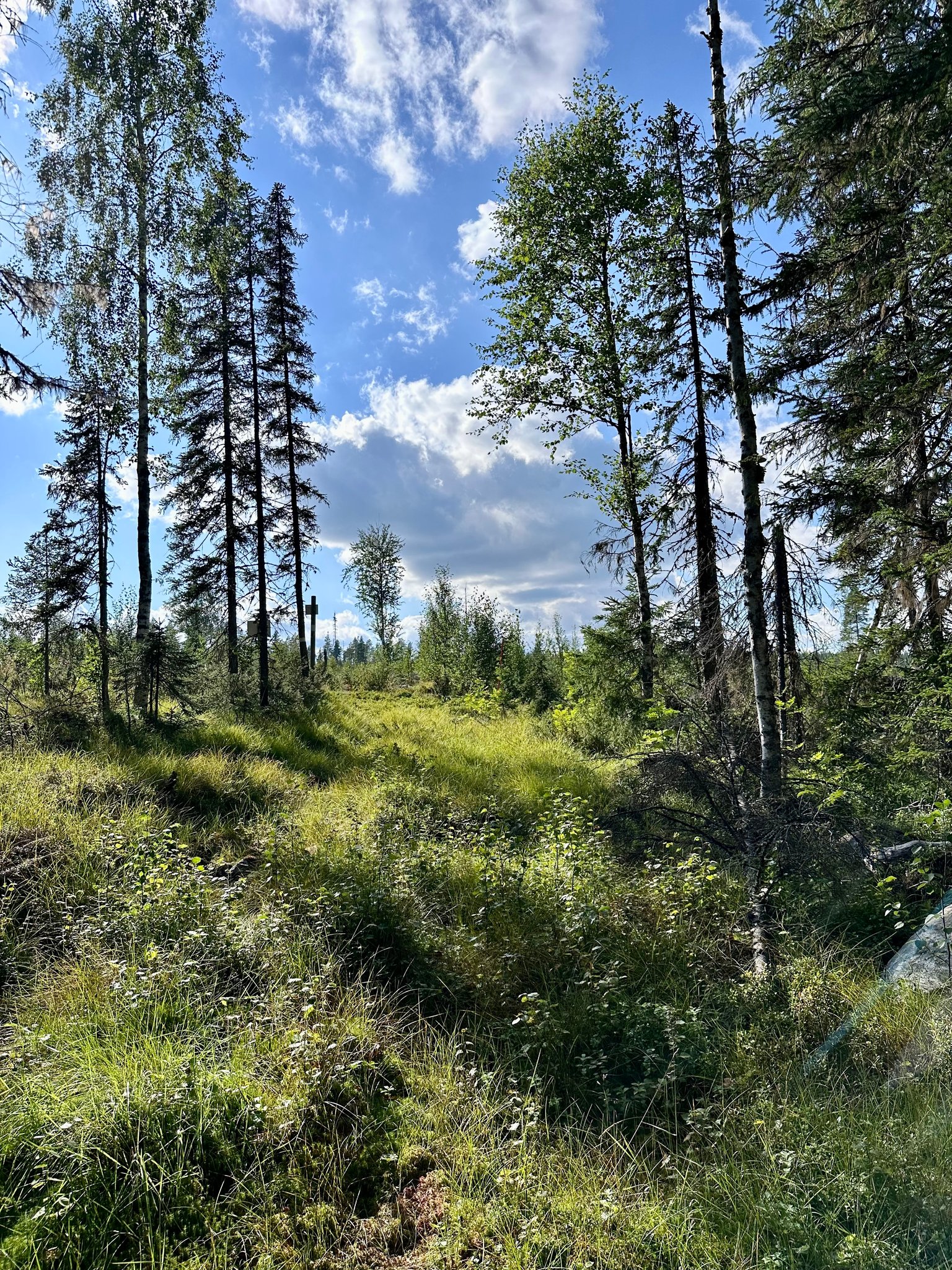
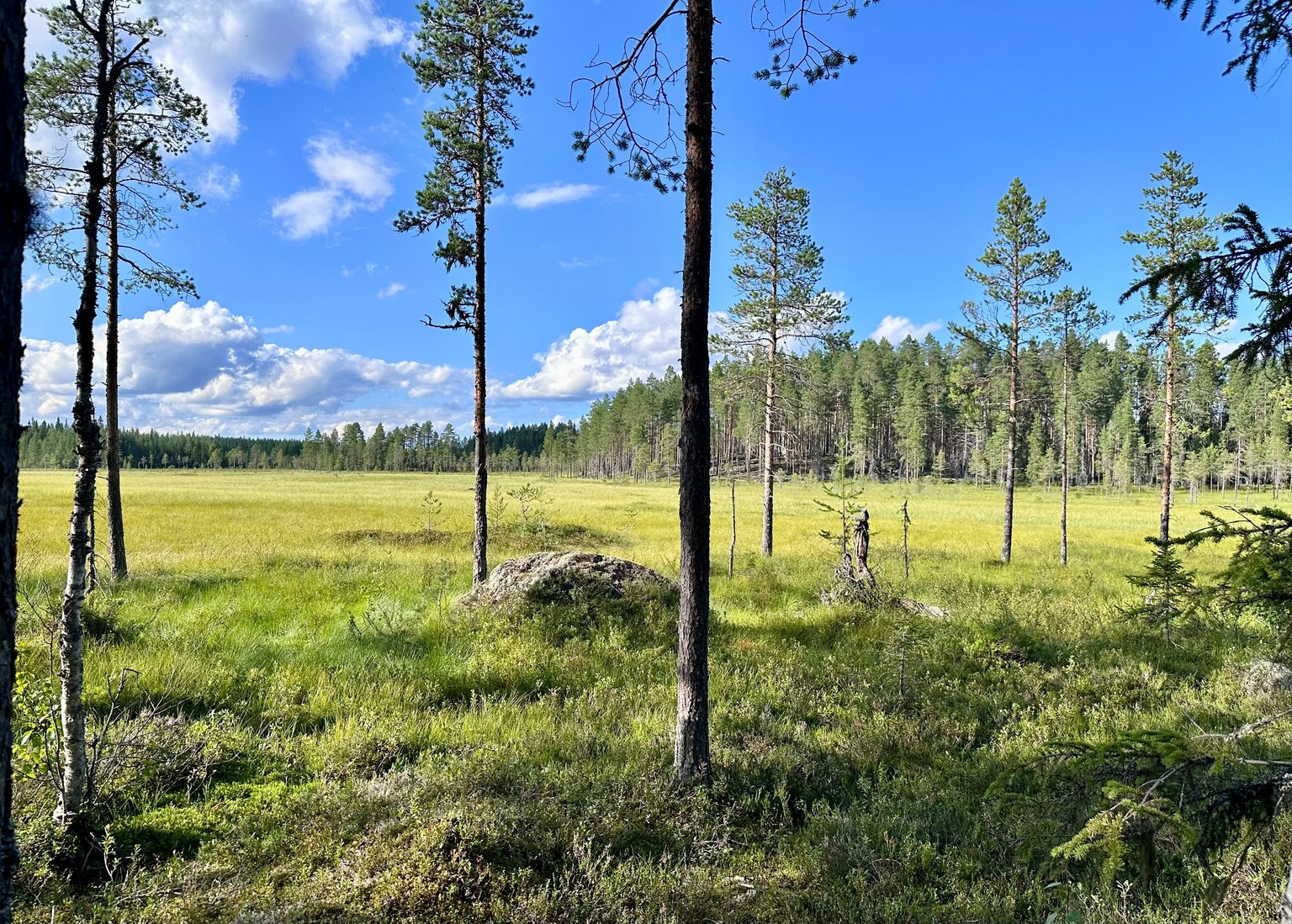
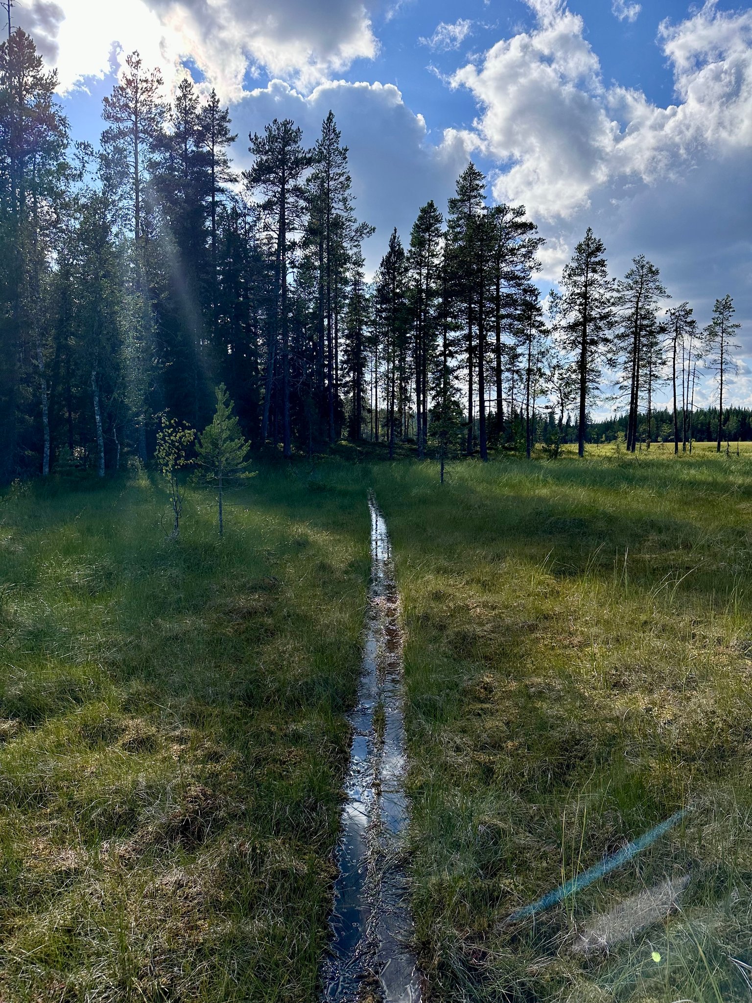
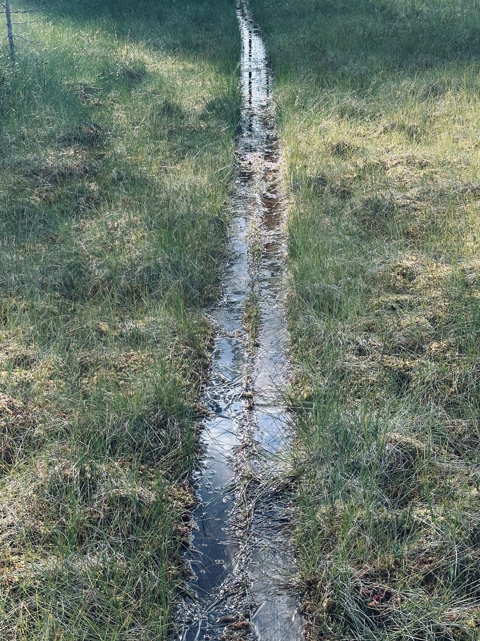
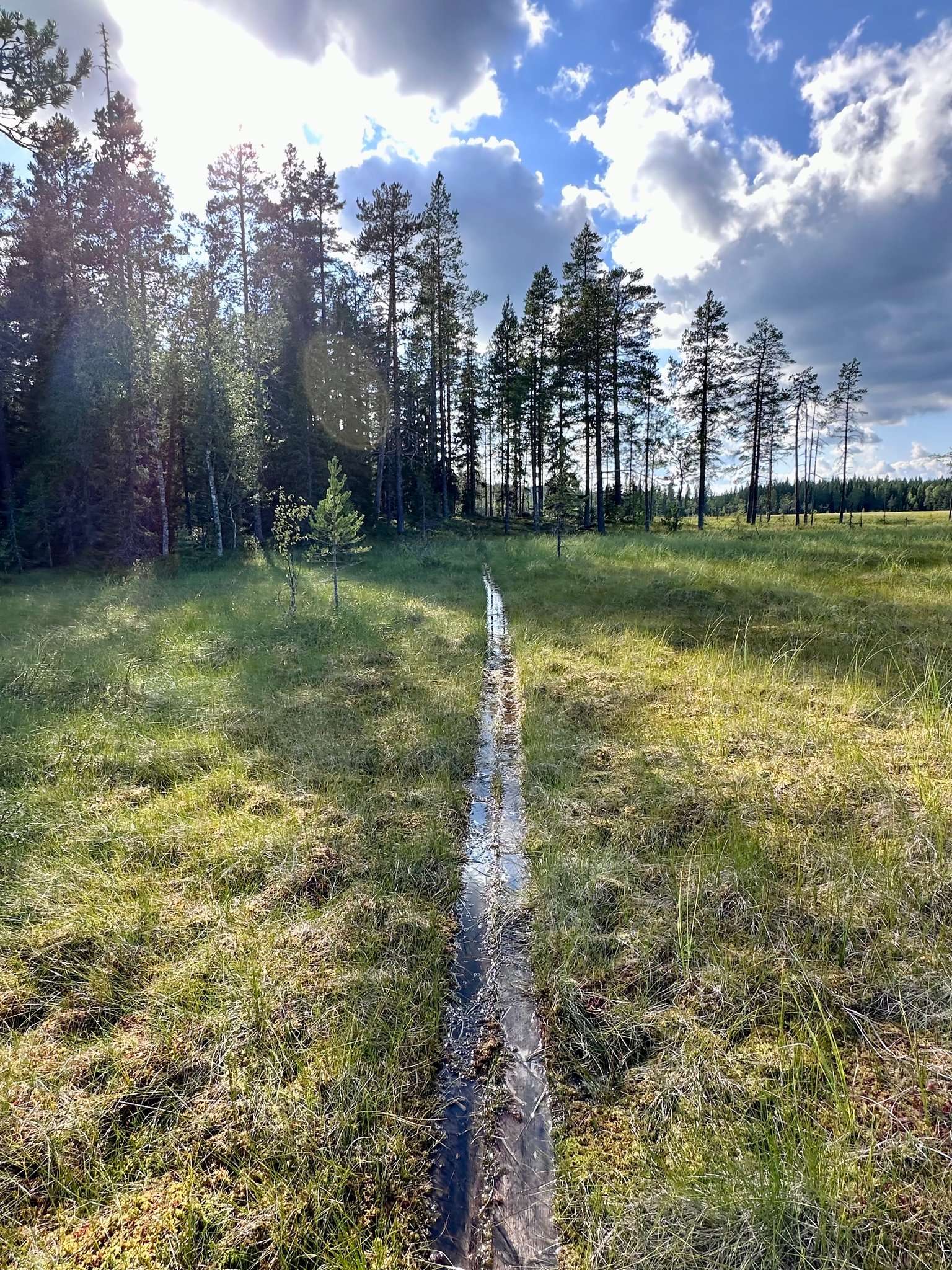
We continue our hike further and reach #MARSHLAND, our view to the left of us. There is a path going along it we follow.
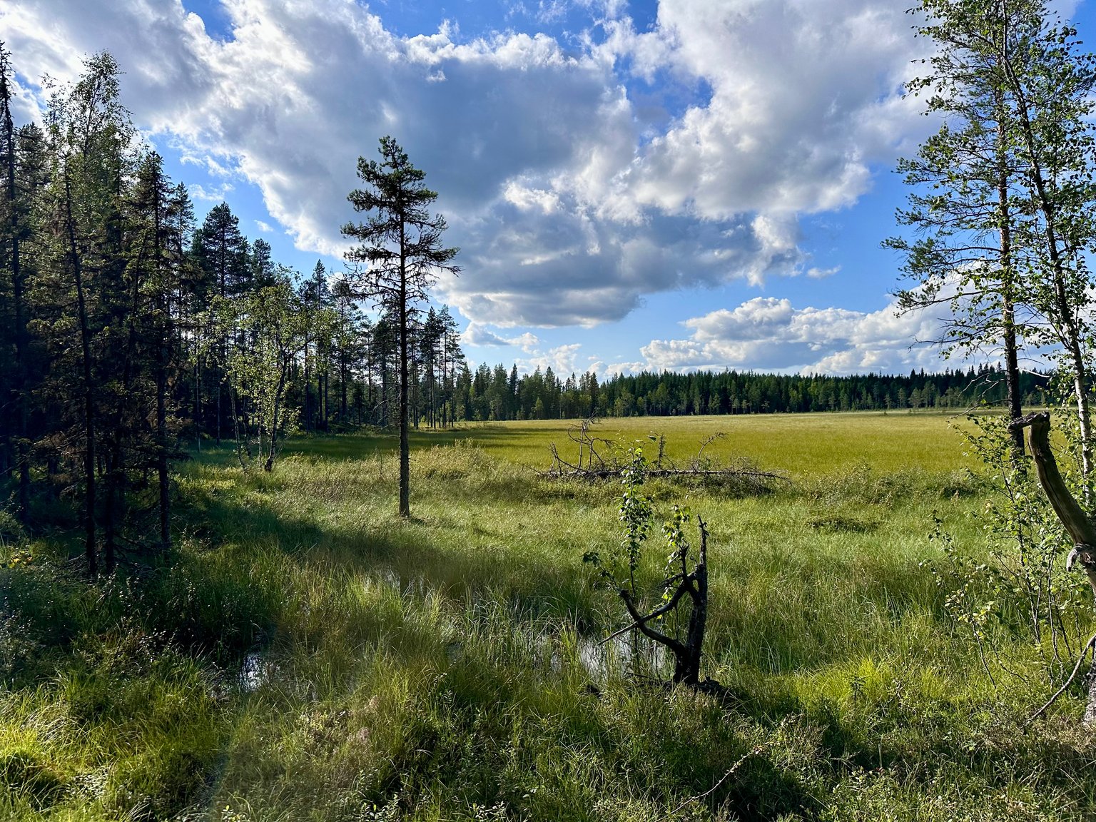
It is beautiful to see this large open area after we hiked the forest and reach higher elevations. We did go down again, the descent was not as steep as going up.
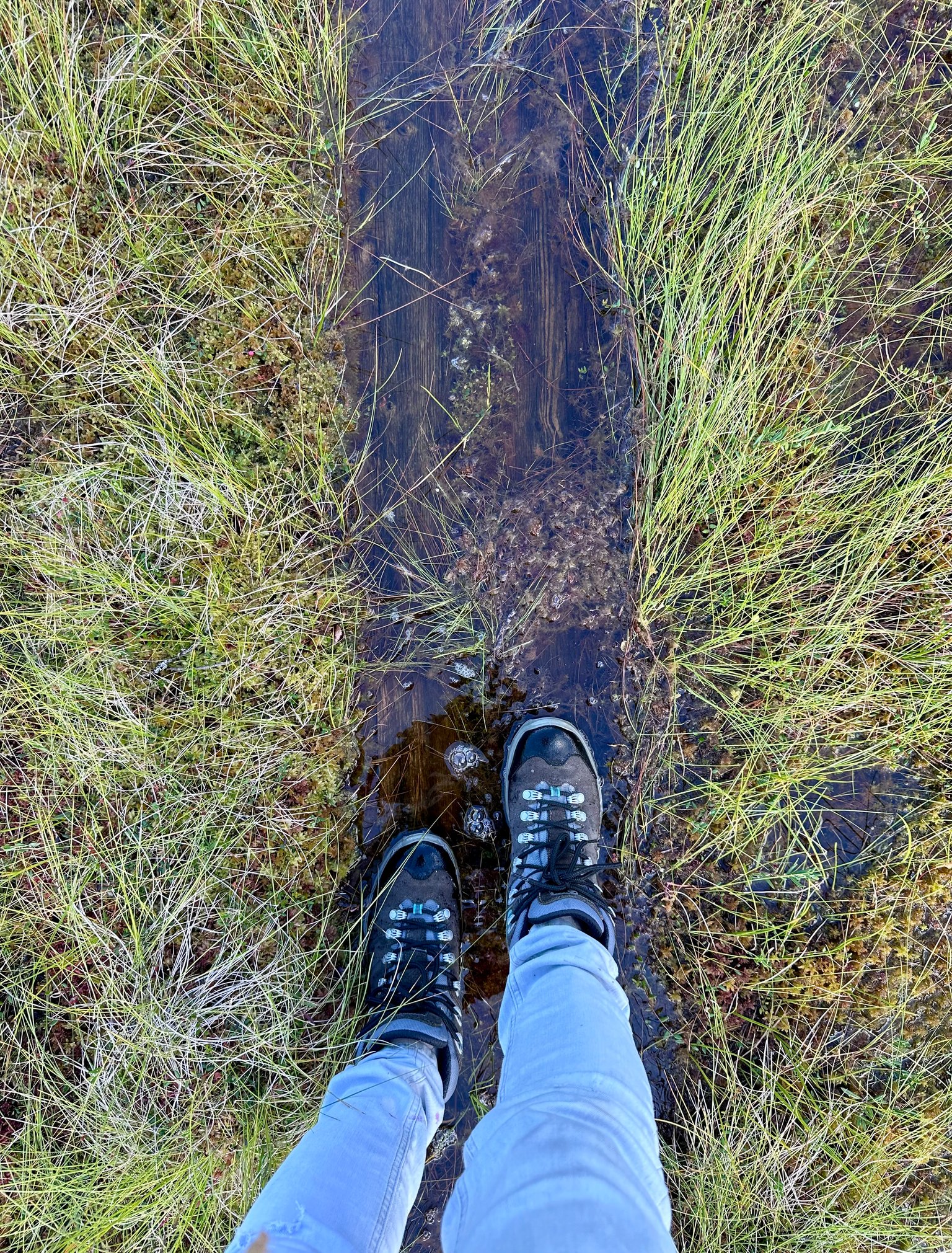
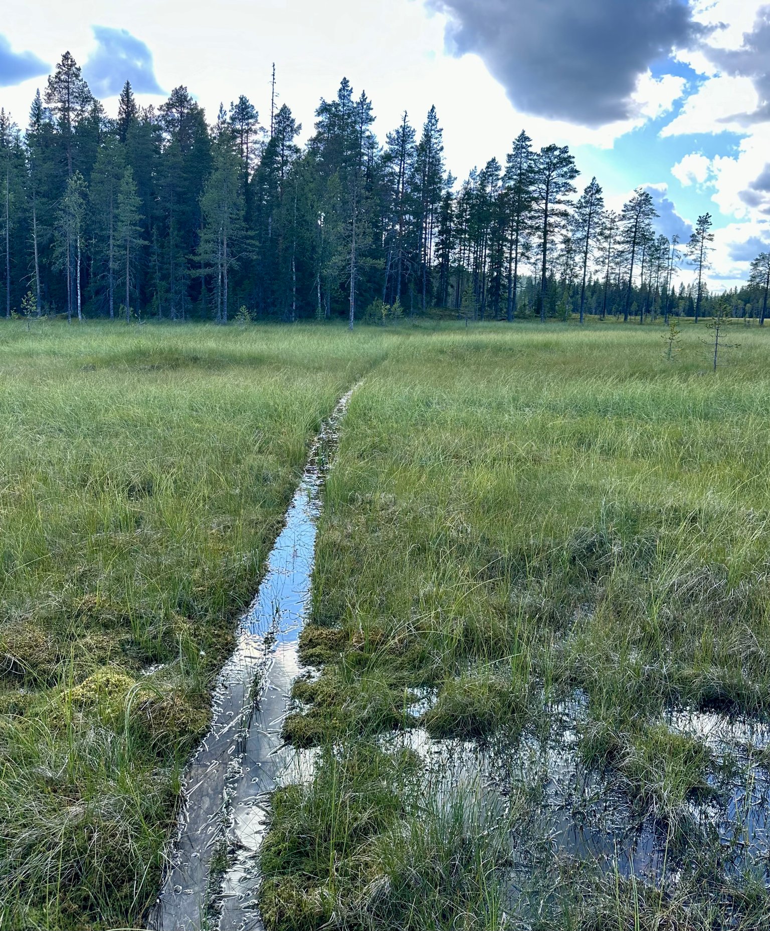
The further we walk over the boards the deeper the water gets 😬
We can do it... and slowly continue.
Our views are stunning, the clouds are reflecting in the water.
Looking next to us:
but... let's not get distracted too much. We have to continue walking.
Until we reach the other side.
 |  |  |
|---|---|---|
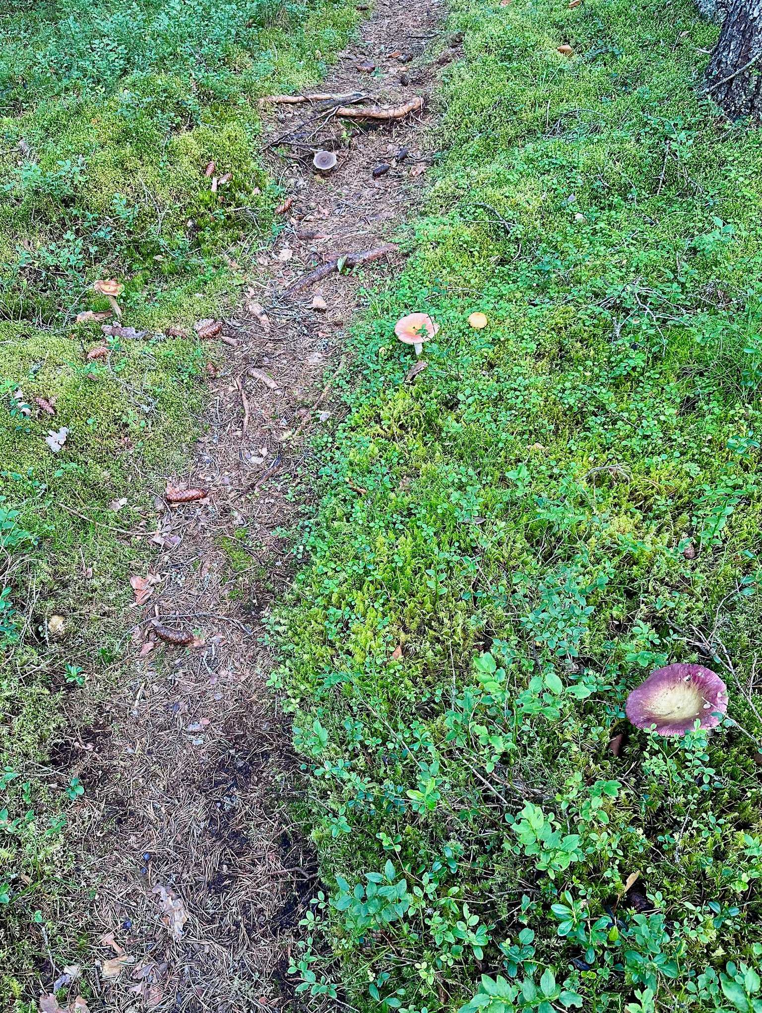
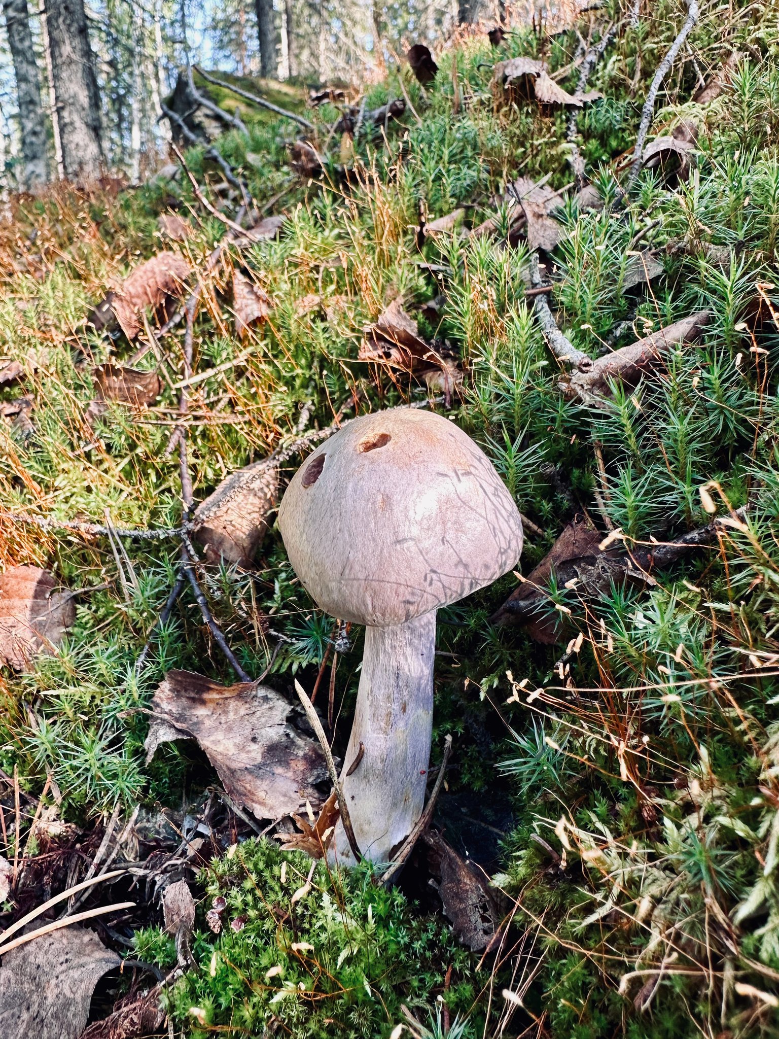
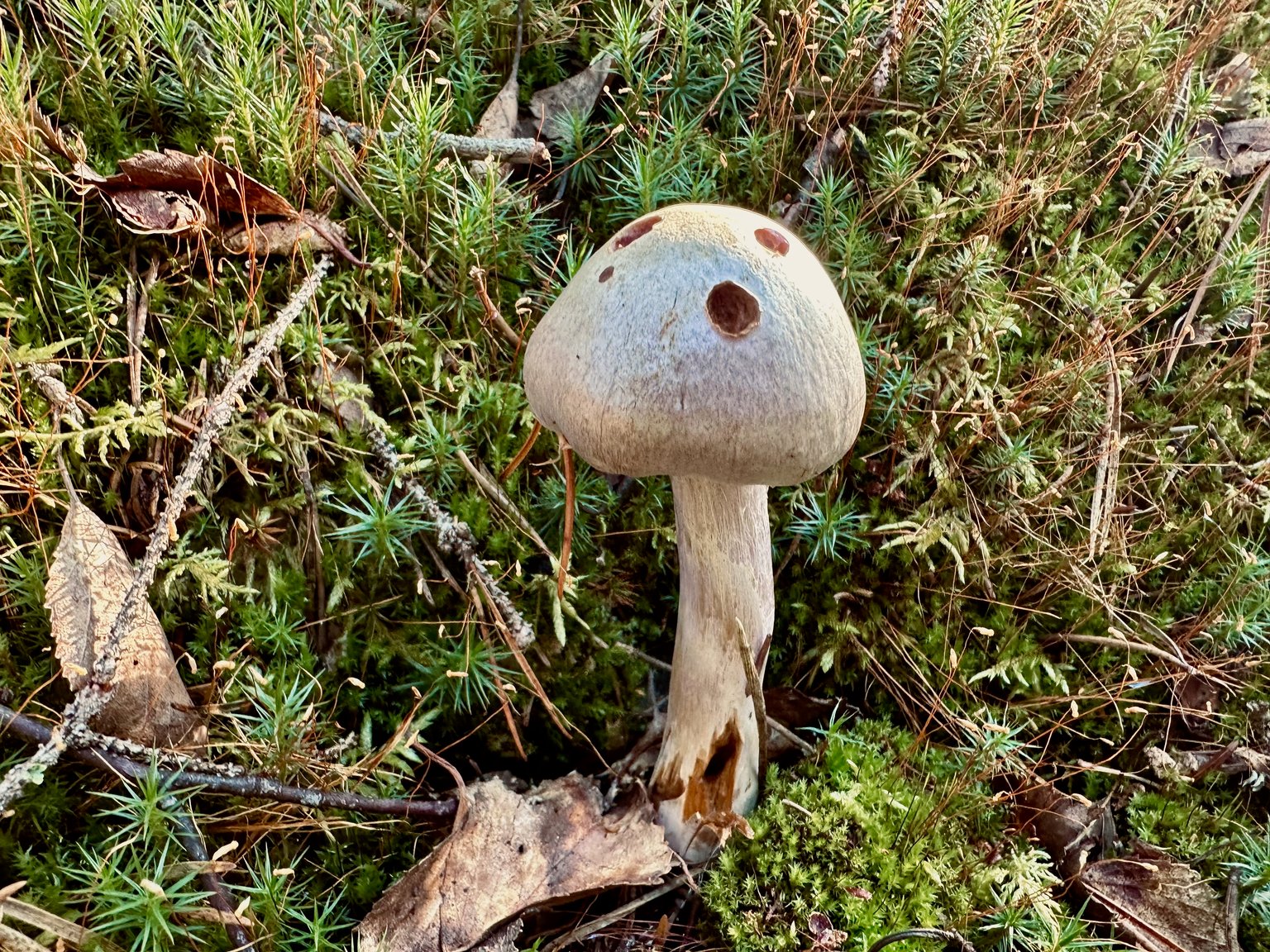
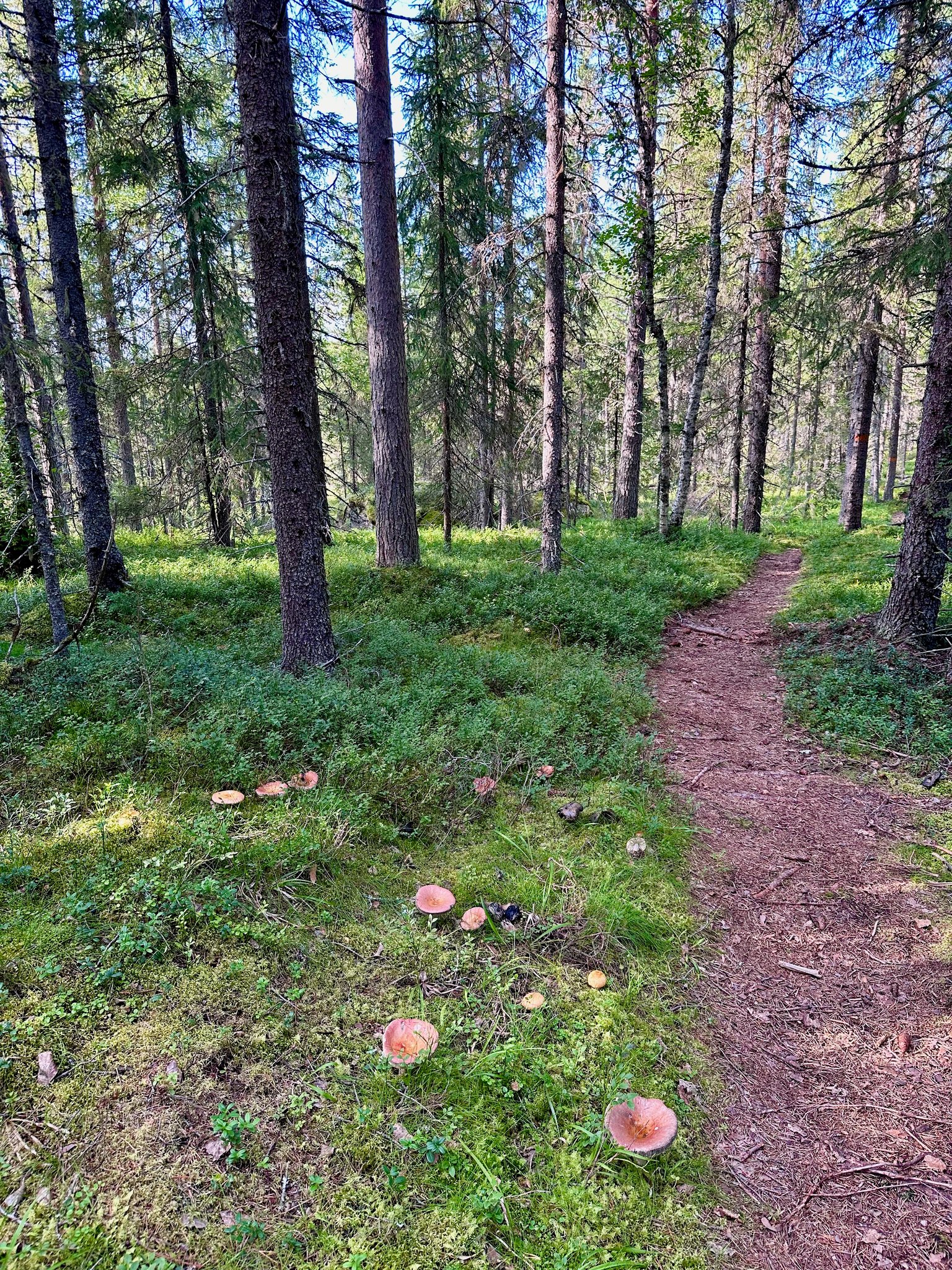
| On our path we see more FUNGI 🍄 | The path meanders along... | So many mushrooms 🍄🍂 |

We must be more than half way now on our 8km long trail.
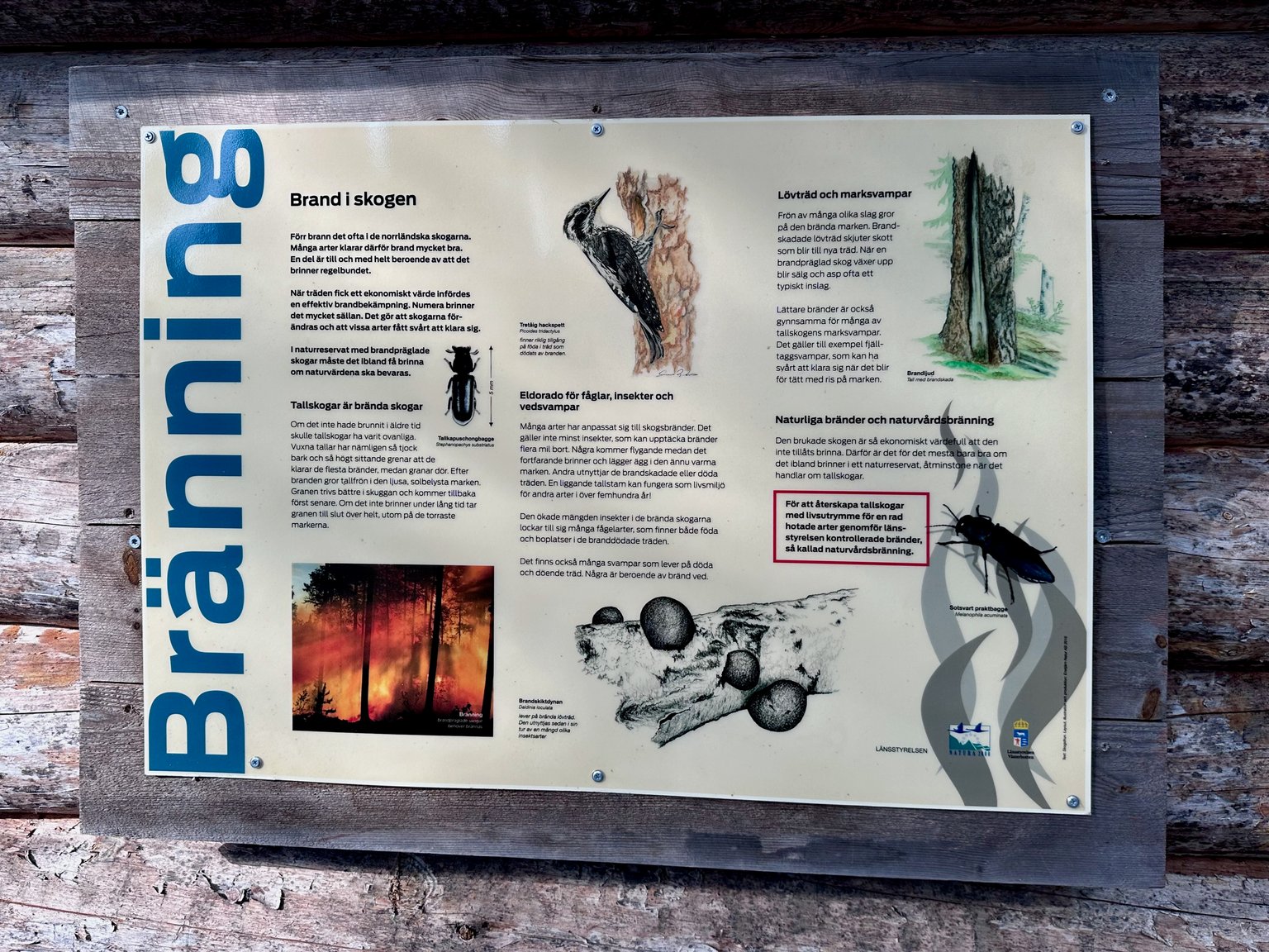
We reach the burned area... The evidence is still very visible. Do note... they were controlled fires to shape the forest and create trails and revive nature.
Most forest up north in Sweden you can hardly get through, when there are no paths / or maintained areas. Even though you can ROAM FREELY... most of the time you can't.
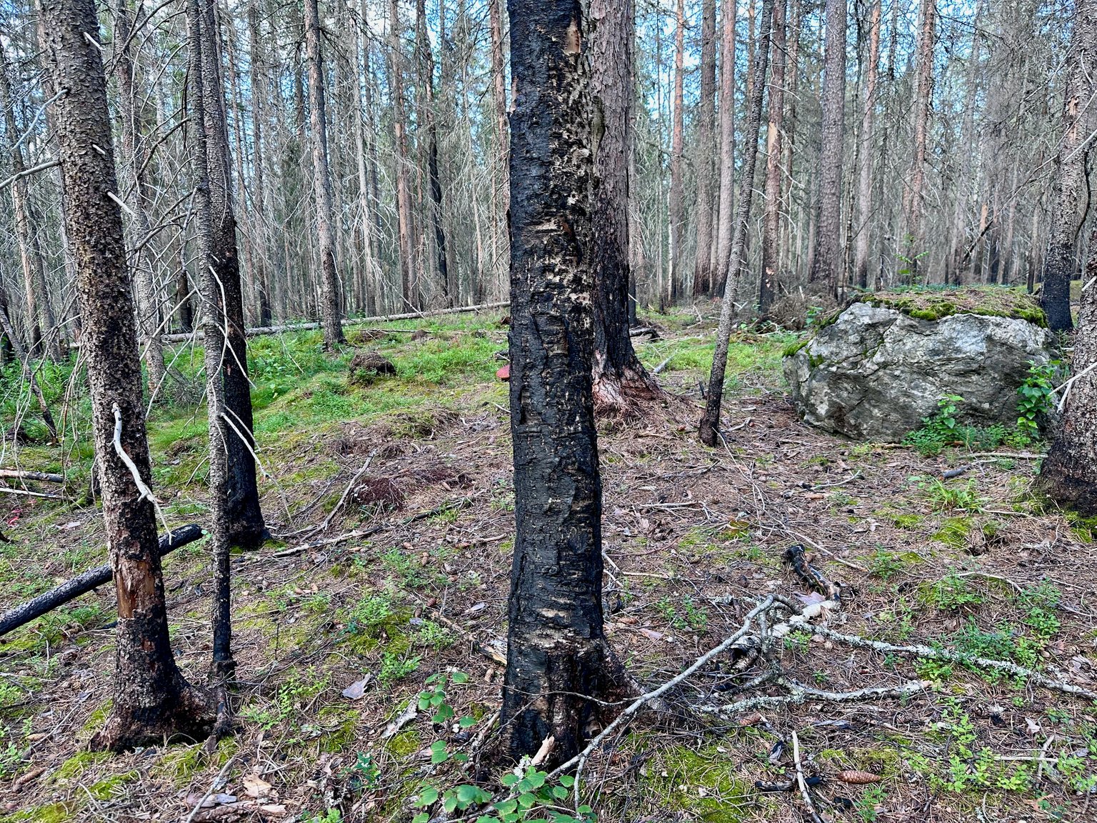
Evidence that they cleared the path recently after the storms.
We reach another river... we will cross with the wooden bridge you can see 👇

The water is wild with the extra water from the rain over several days
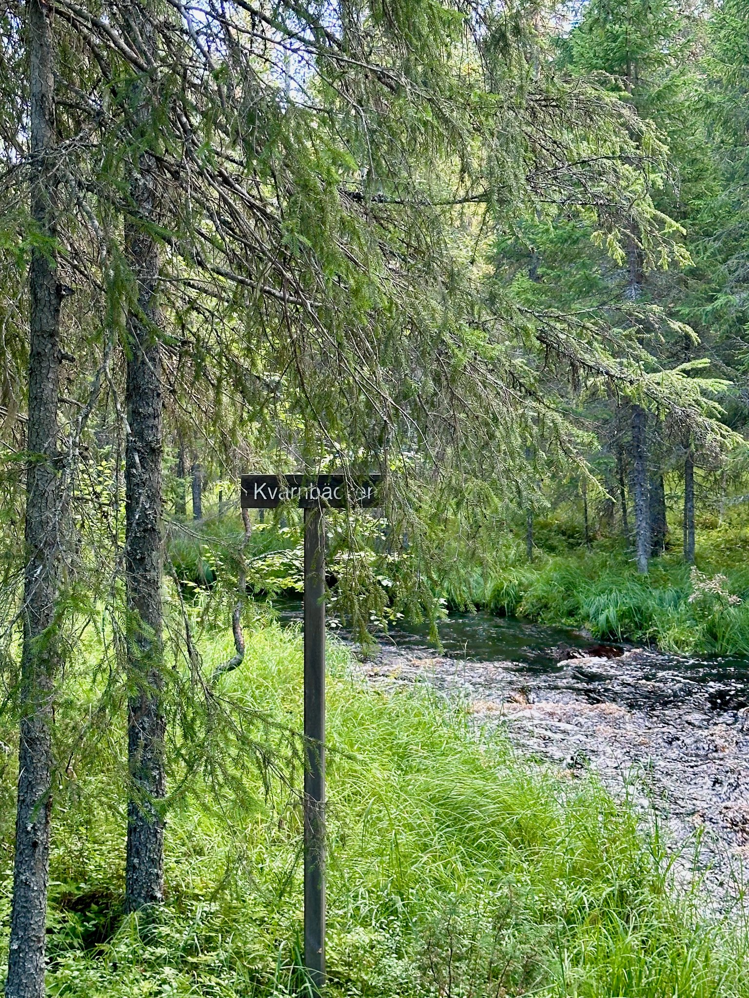
A sign.
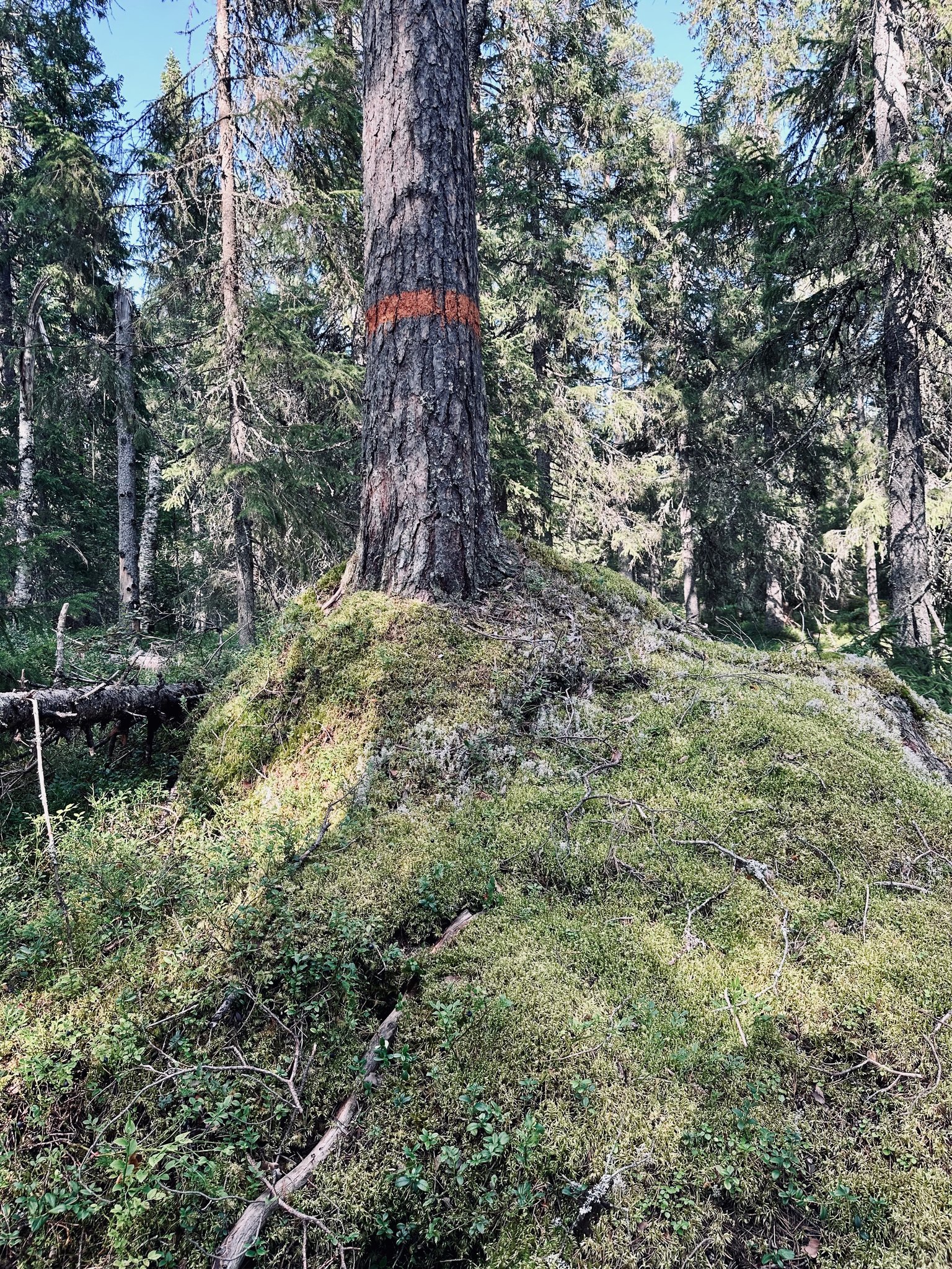
We continue our trail... the red makings is what we follow. We are getting tired after such a long hike. We surely could use a break and some sandwiches 🥪🥪

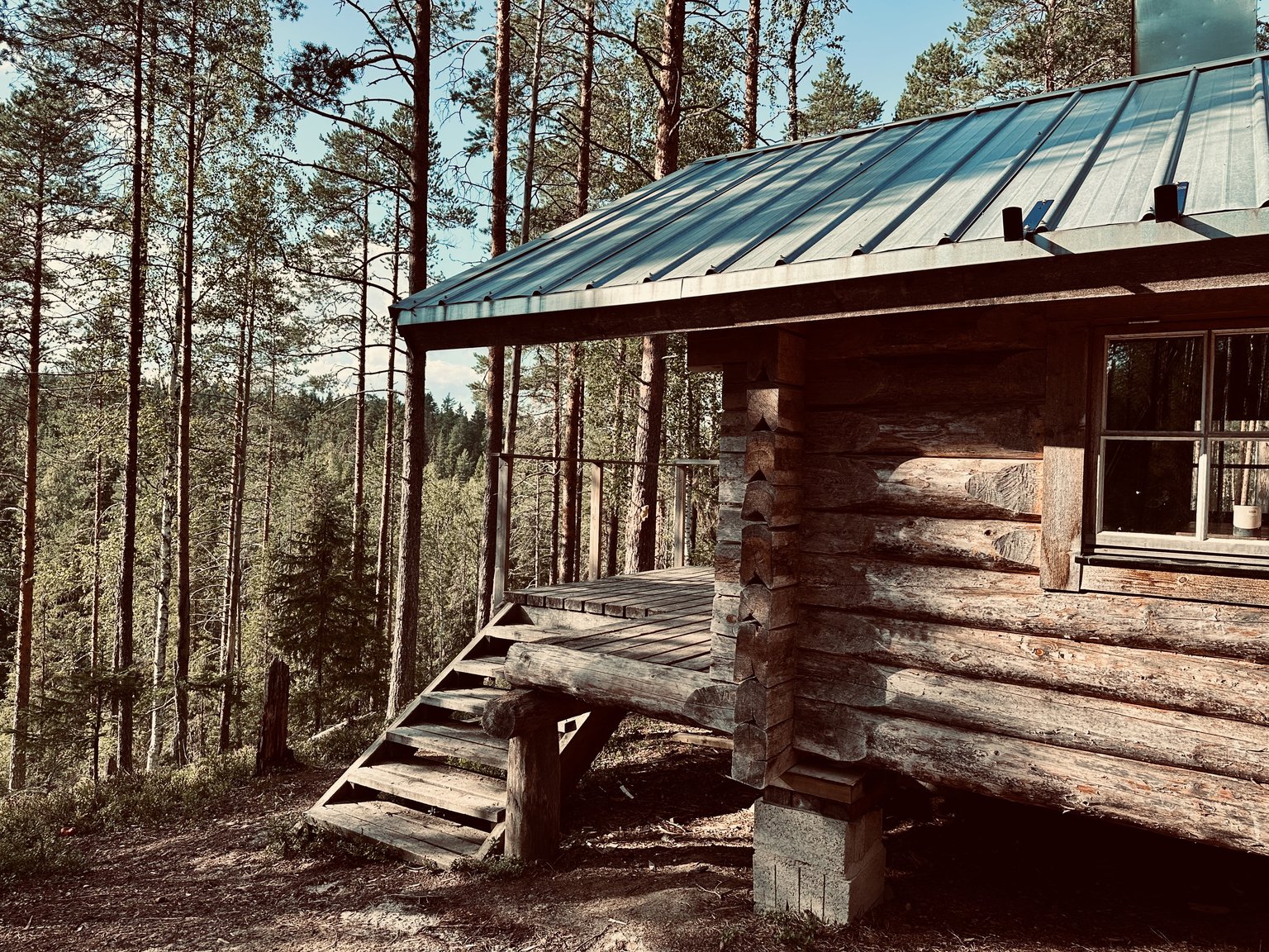
Finally... we reached the #CABIN in the FOREST. 🏡🌳🌲
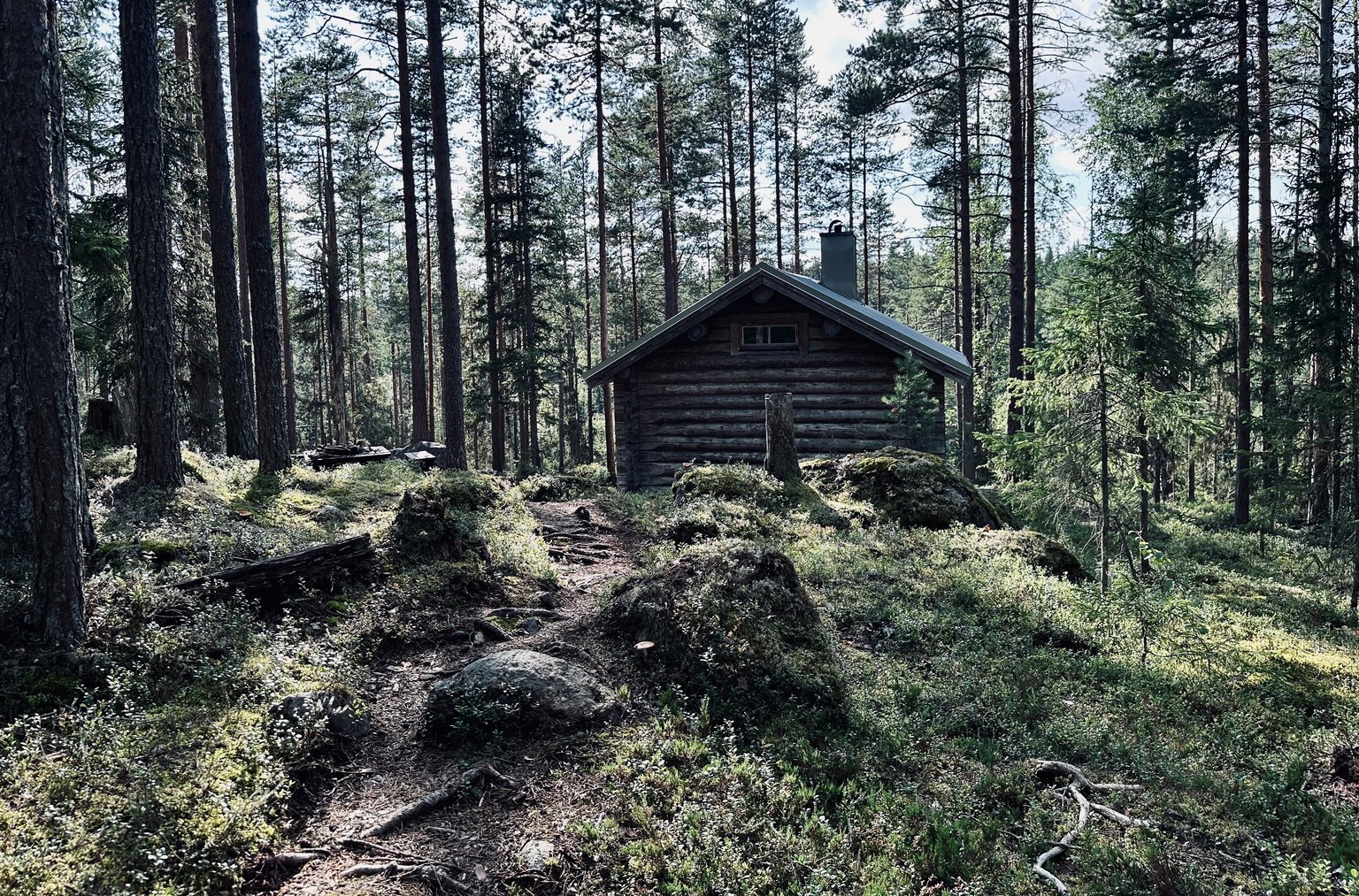
Perfect for a break...
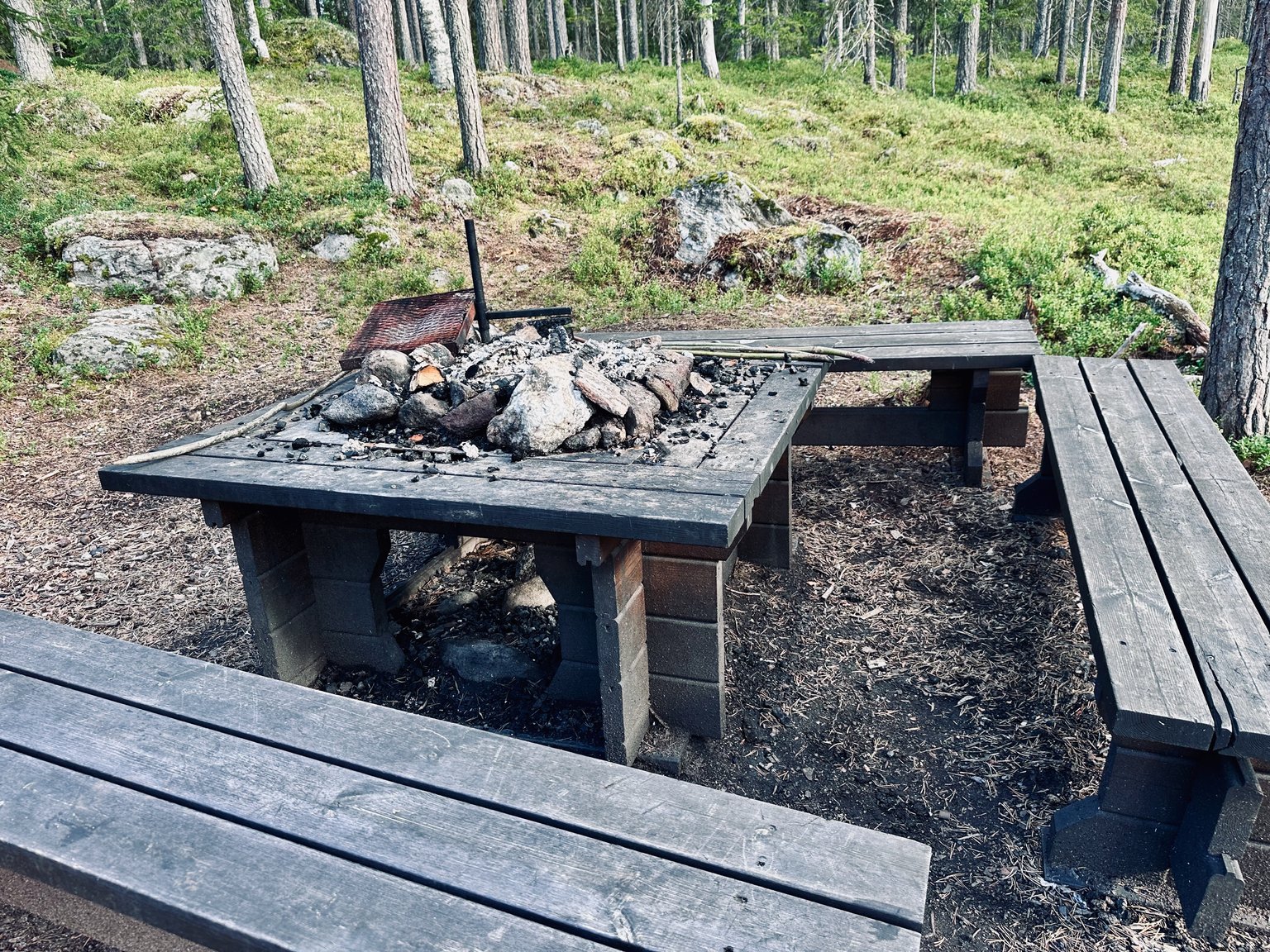
This is the BBQ area you can use. 🪵🔥🥩
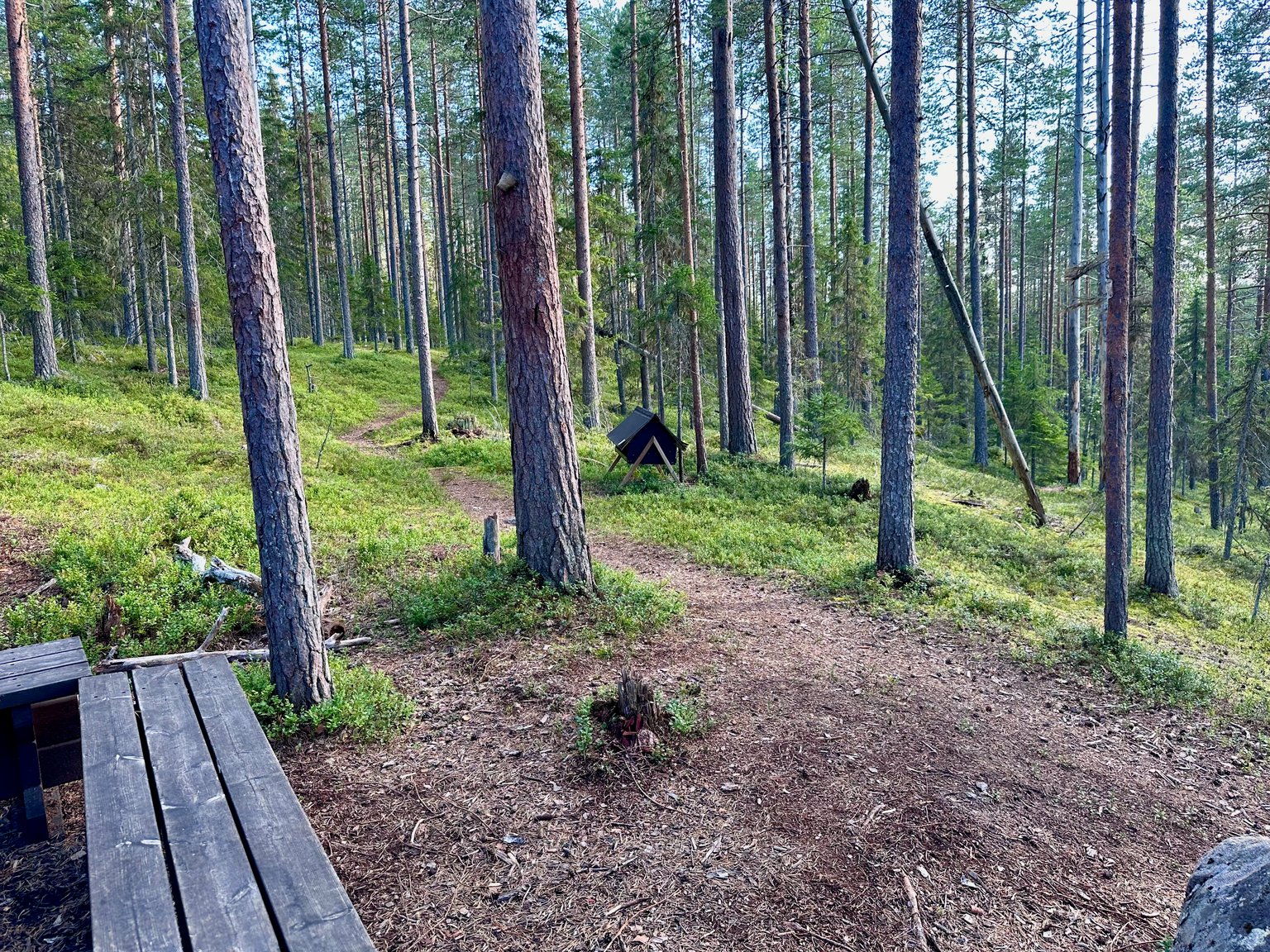
The view from the benches:
As we walk further towards the cabin. We find information about the controlled fires in this nature reserve.
We walk up the steps towards the entrance of the CABIN. OUR VIEW 🤩
The path towards the entrance of this trail and forest.
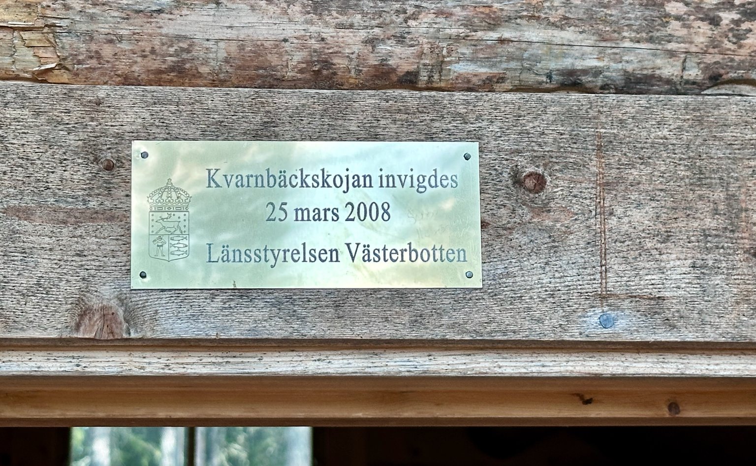
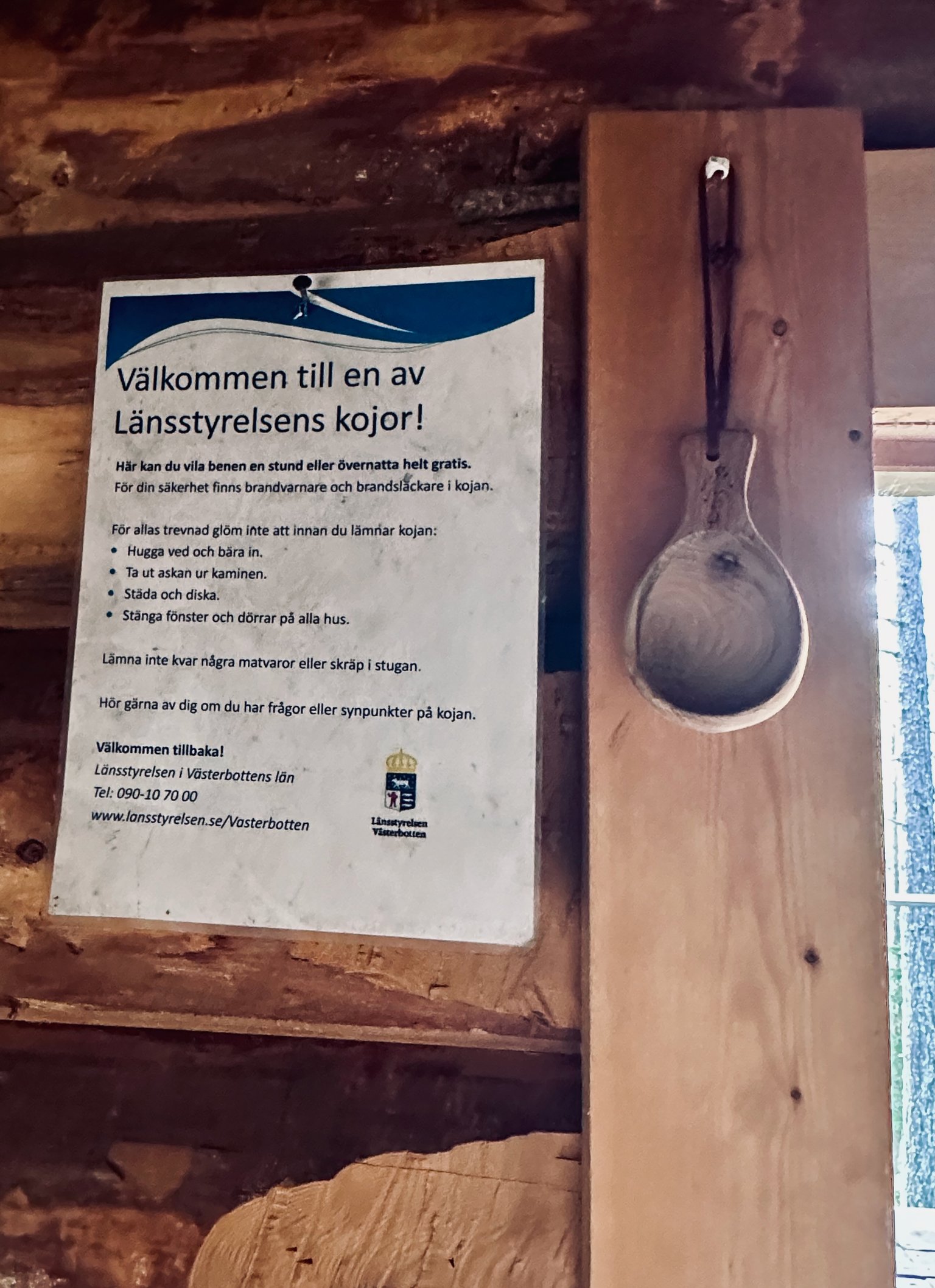
Above the door of the cabin we find this plaque.
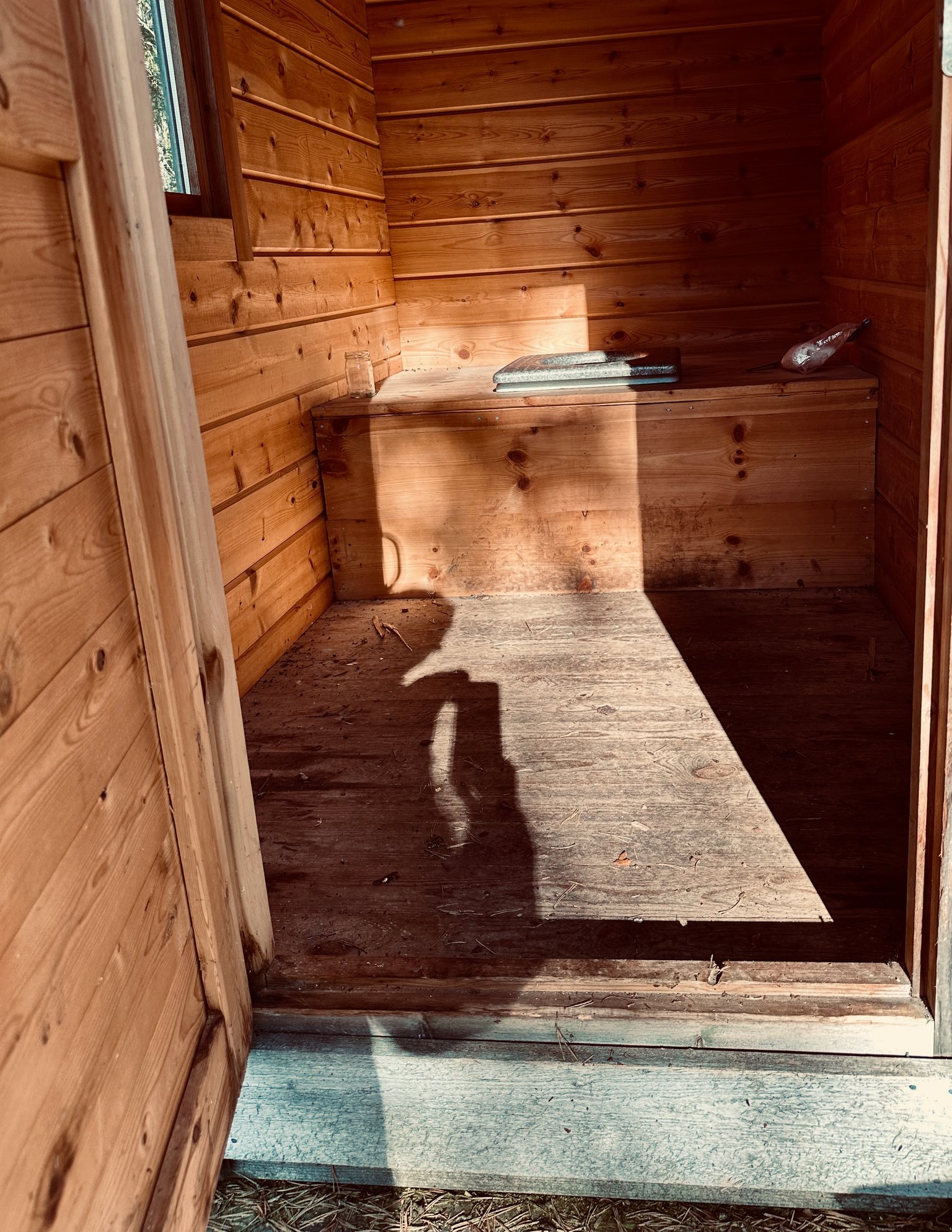
The door from the cabin is open... as it is free to use.
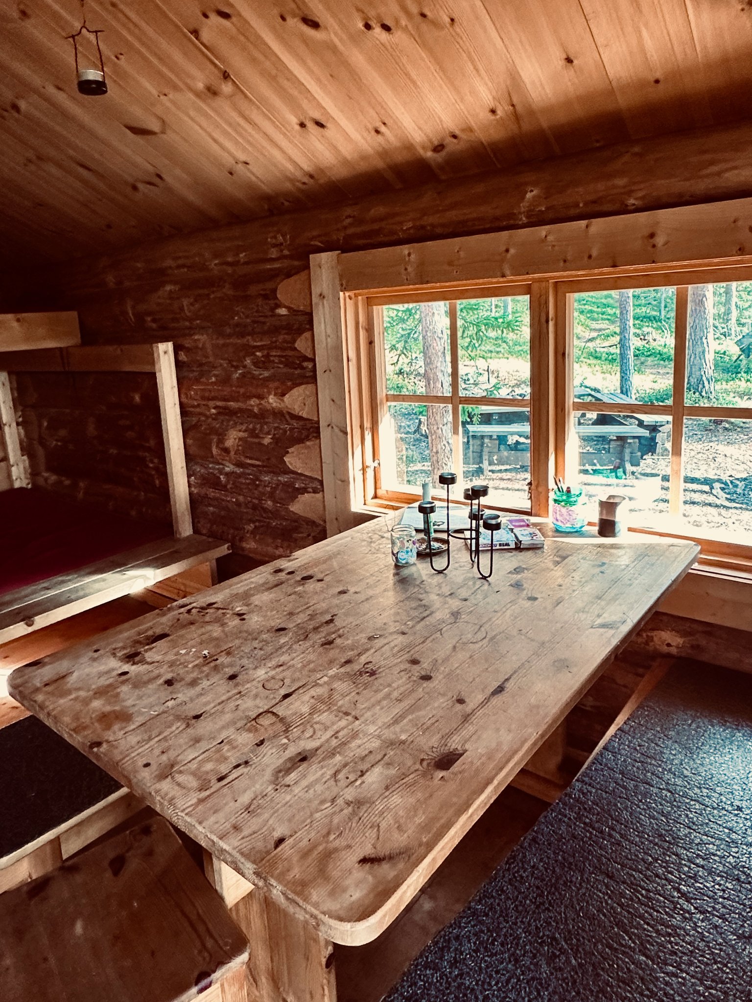 | 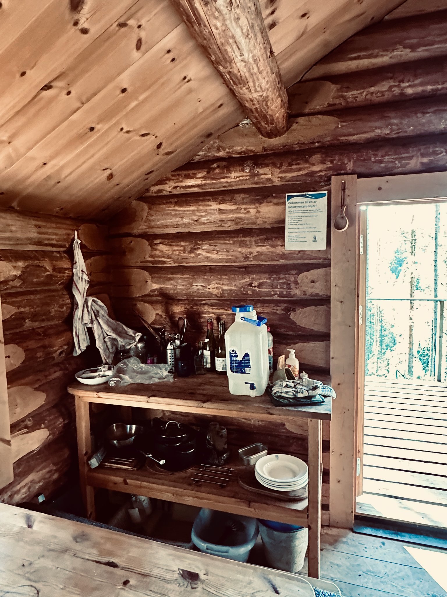 |  |
|---|---|---|
| Sitting area | Things for cooking | Cabin rules |
In the back we find beds... a large sleeping area. So when you would hike for several days on longer trails. There are places like this you can shelter.
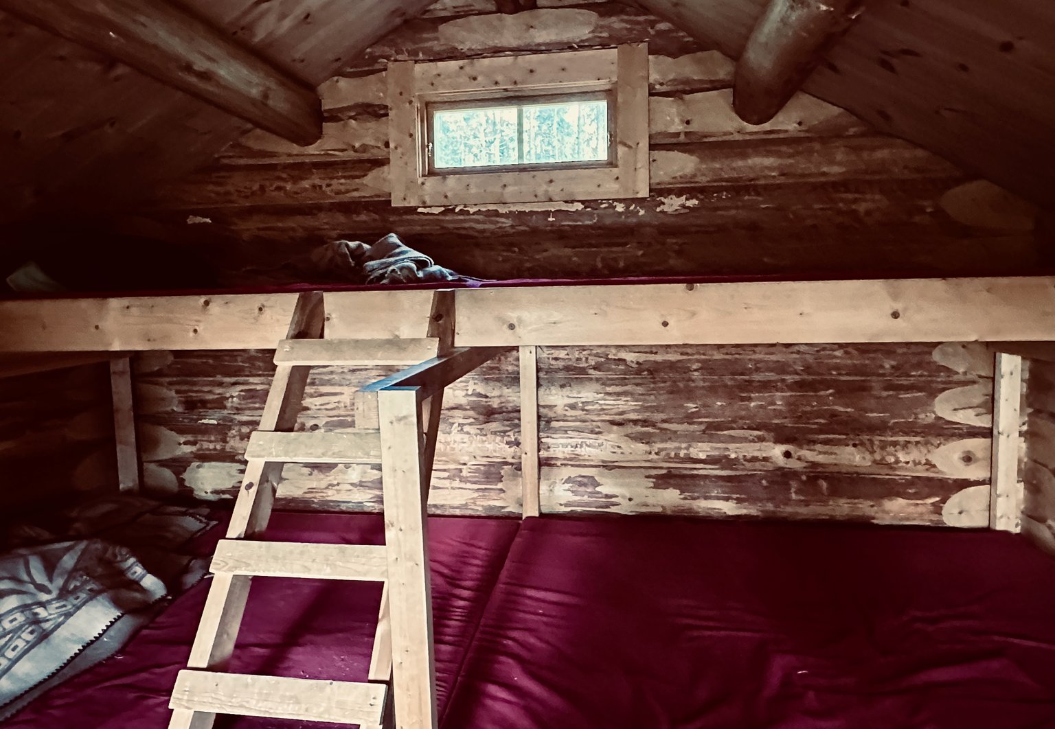
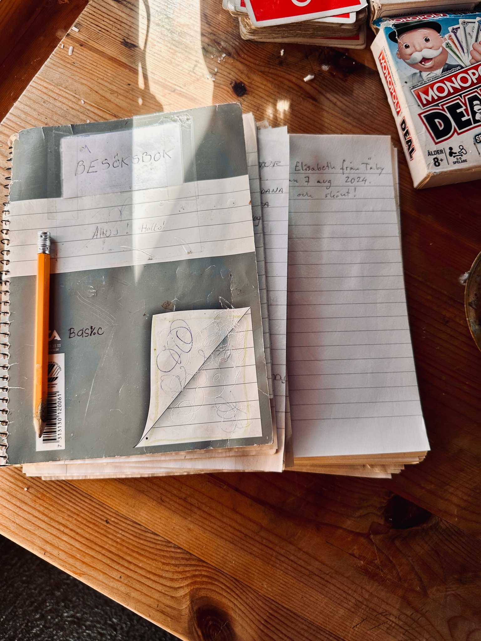
A book you can write in that you have been... as you can see, this cabin is well used.
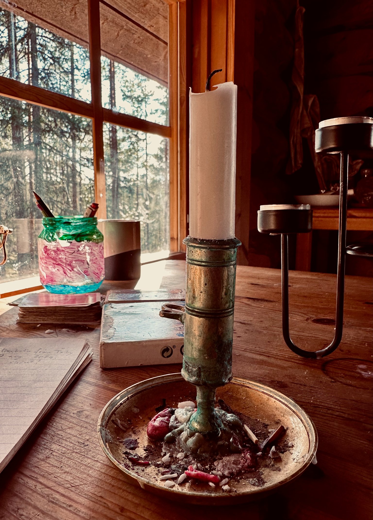
No electricity but candles 🕯️are provided.
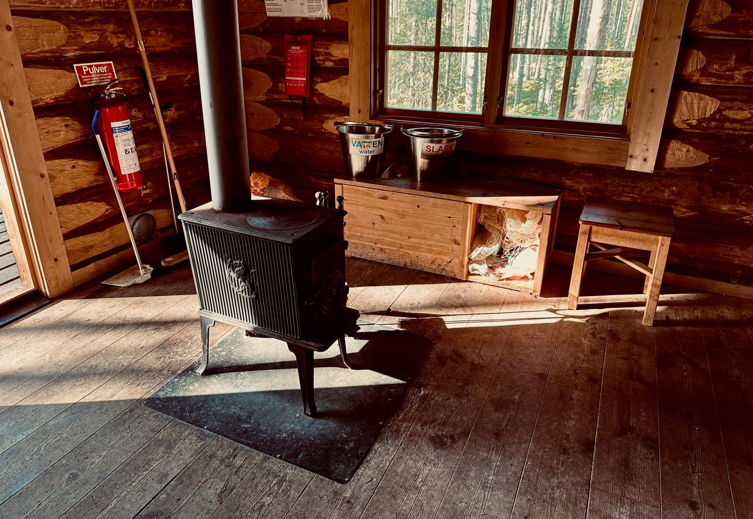
A wood stove for the colder days and nights. To keep you nice and warm.
After we rested a bit. We continue our hike.
Outside we take in the stunning views 😍 of the cabin. I definitely could spend some time here.
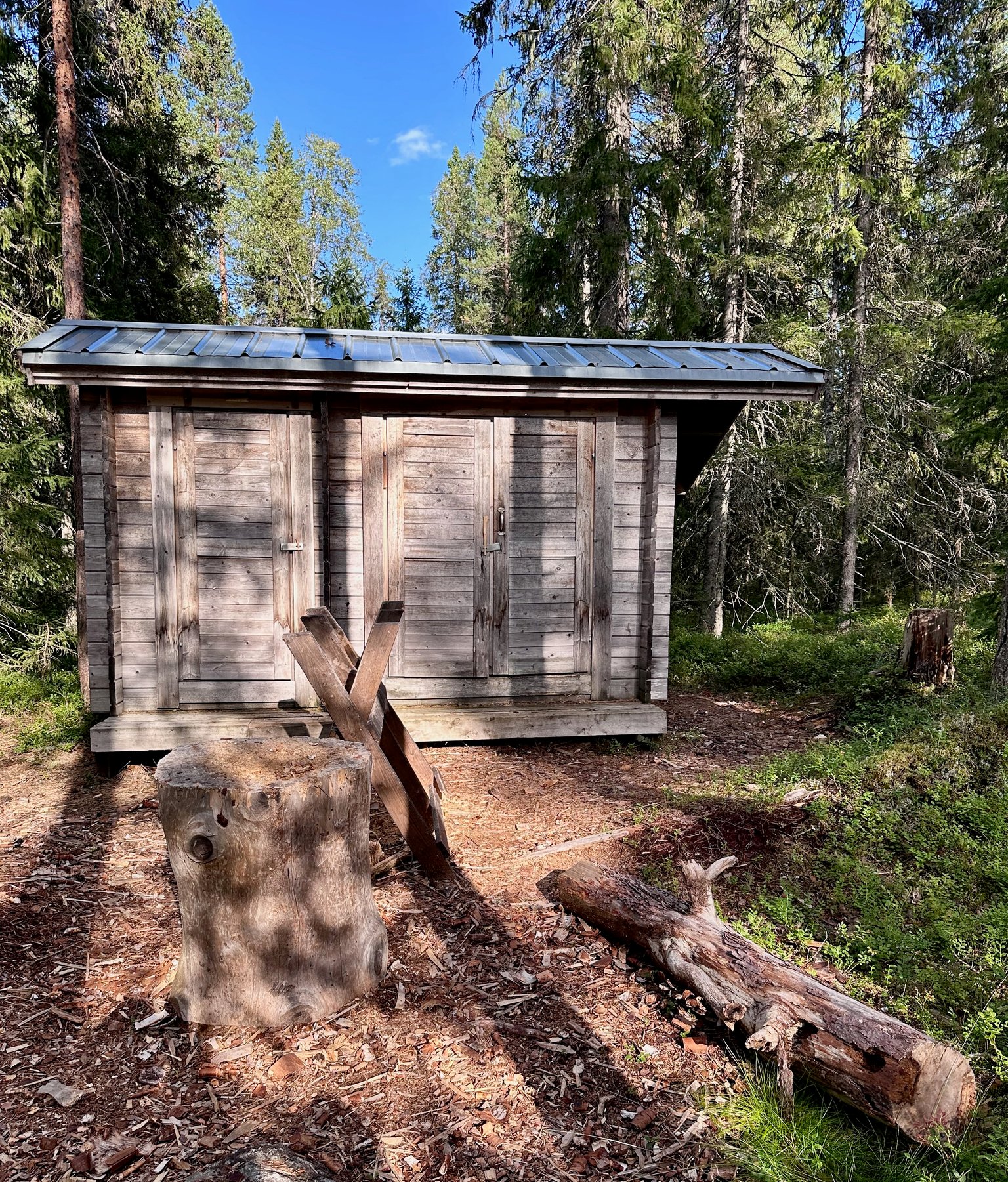
The outhouse.
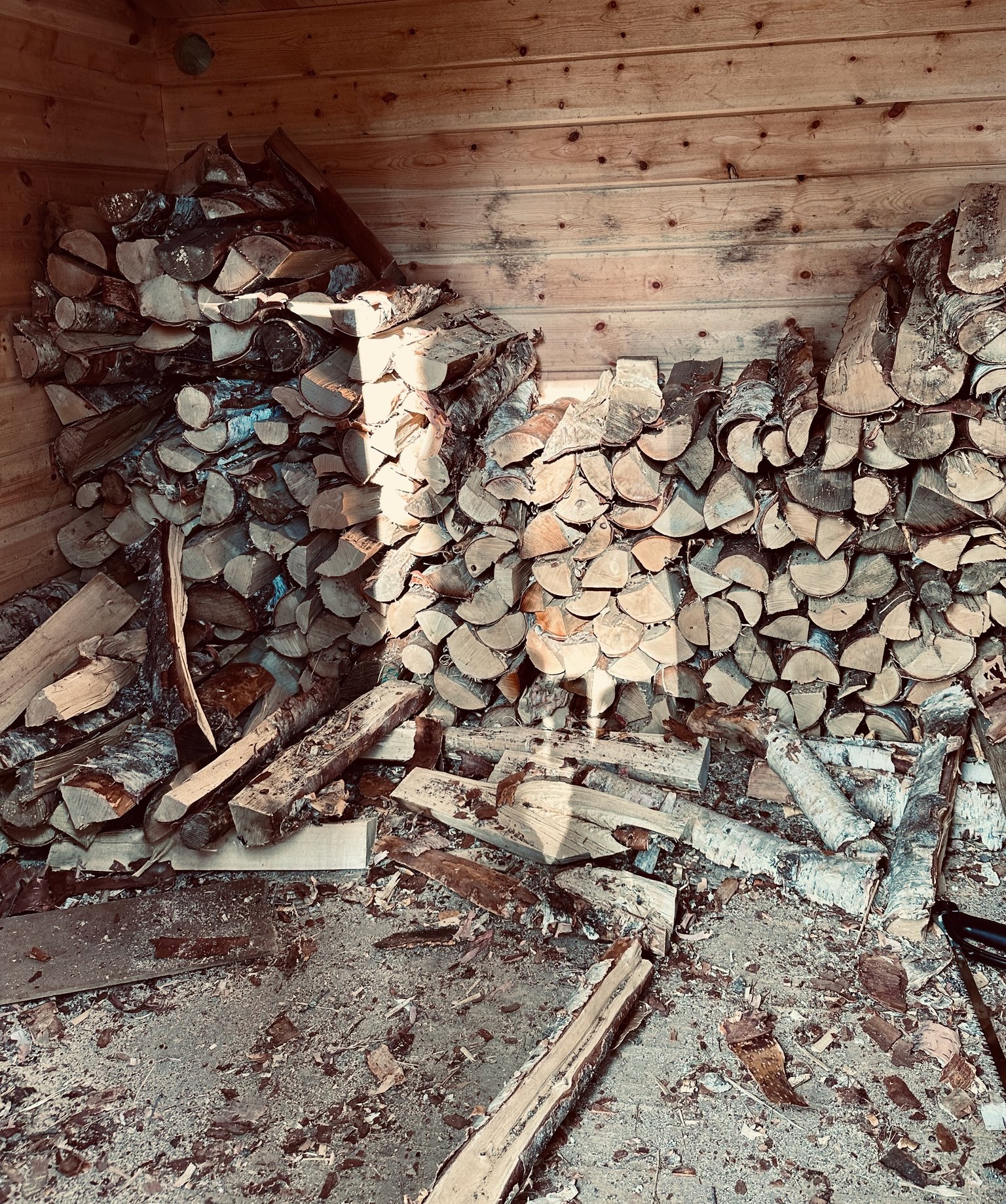
Wood storage for the stove and bbq.
That's all, very basic I know... but all you actually need. It is even luxurious with the outhouse haha
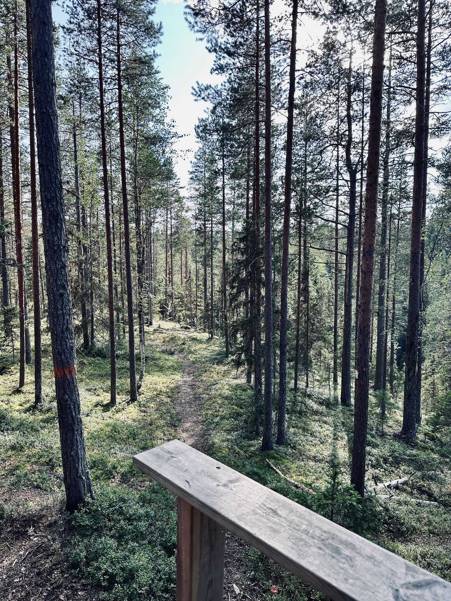
We wander further.
Along paths...
... and boards.
I found another area with loads of mushrooms...
This one was already nibbled on by the forest creatures.
You can look through the trees... not many blueberries 🫐 left.
Just a little bit further... across that elevation and we reach the beginning...
I know you are tired. But we can do it! 😀
See: We are back at the cross roads / paths...
In a few 100 meter further we will reach the parking area again.
You did well, coming along on this long and adventurous hike. Until the next one?
…and here I say that’s all for today’s post my friends.
Join me next time for more #updates, #adventures, #stories and #photographs 😎👋🏻
Even my own #artworks, once in a while, will come by” 🎨
Thank you so much for looking, and reading.
#ecency art by @irisworld
Any questions or comments, let me know. Always happy to help.
Have a great day all 😎
Grtz Jackie
Unless stated otherwise: All art and photos used in my posts are taken, created and owned by me. If you wish to use any of my photographs, please contact me first. As I have used some commercially myself. We don’t want that you or somebody else gets into trouble 😉 So please don’t use them without my consent.
🖼 My PRINTSHOP: for the purchase of all kind of PRINTS in many sizes from my Artworks 🎨 (PAINTINGS and DRAWINGS) and Photography 📸
Have a look in My Prints Shop here!

If you want to see where I traveled to and what I already shared in @worldmappin formerly known as @pinmapple , have a look at my personal map here:
“LITTLEBEE4’s personal map on WORLDMAPPIN”
!worldmappin 64.25880 lat 20.19135 long 🌲🌳 Västermarks Nature Reserve ~ STUNNING HIKING TRAIL in BOTSMARK ~ SWEDEN 🇸🇪 d3scr