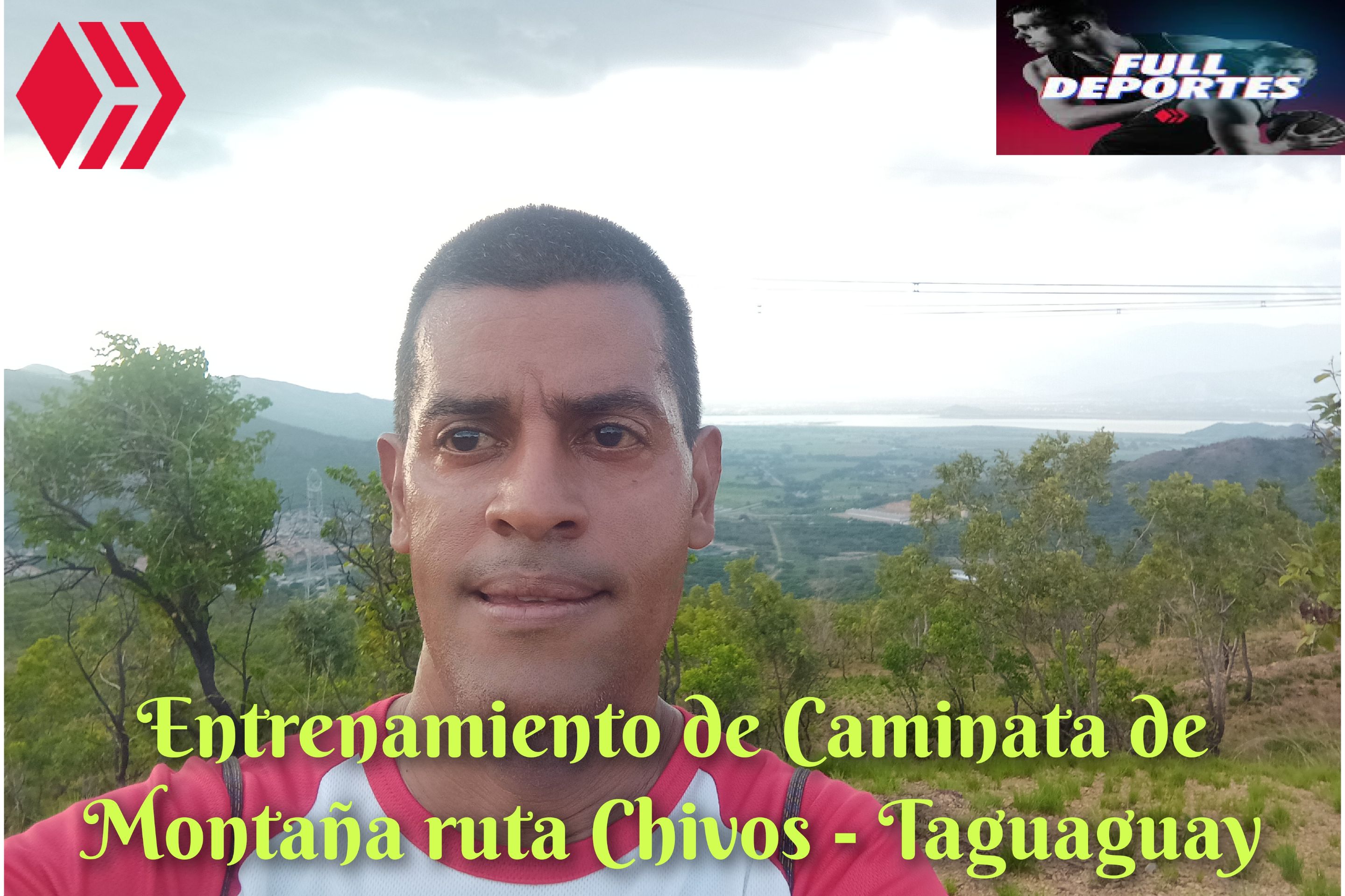
Saludos amigos de Hive y de @fulldeportes, hoy voy a compartir con ustedes mi entrenamiento de caminata de montaña que realicé en la ruta del cerro Los Chivos - Taguaguay, de la comunidad de Villa de Cura, municipio Zamora, estado Aragua.
Greetings, friends of Hive and
@fulldeportes, today I'm going to share with you my mountain hiking training that I did on the Los Chivos - Taguaguay hill route, in the community of Villa de Cura, Zamora municipality, Aragua state.
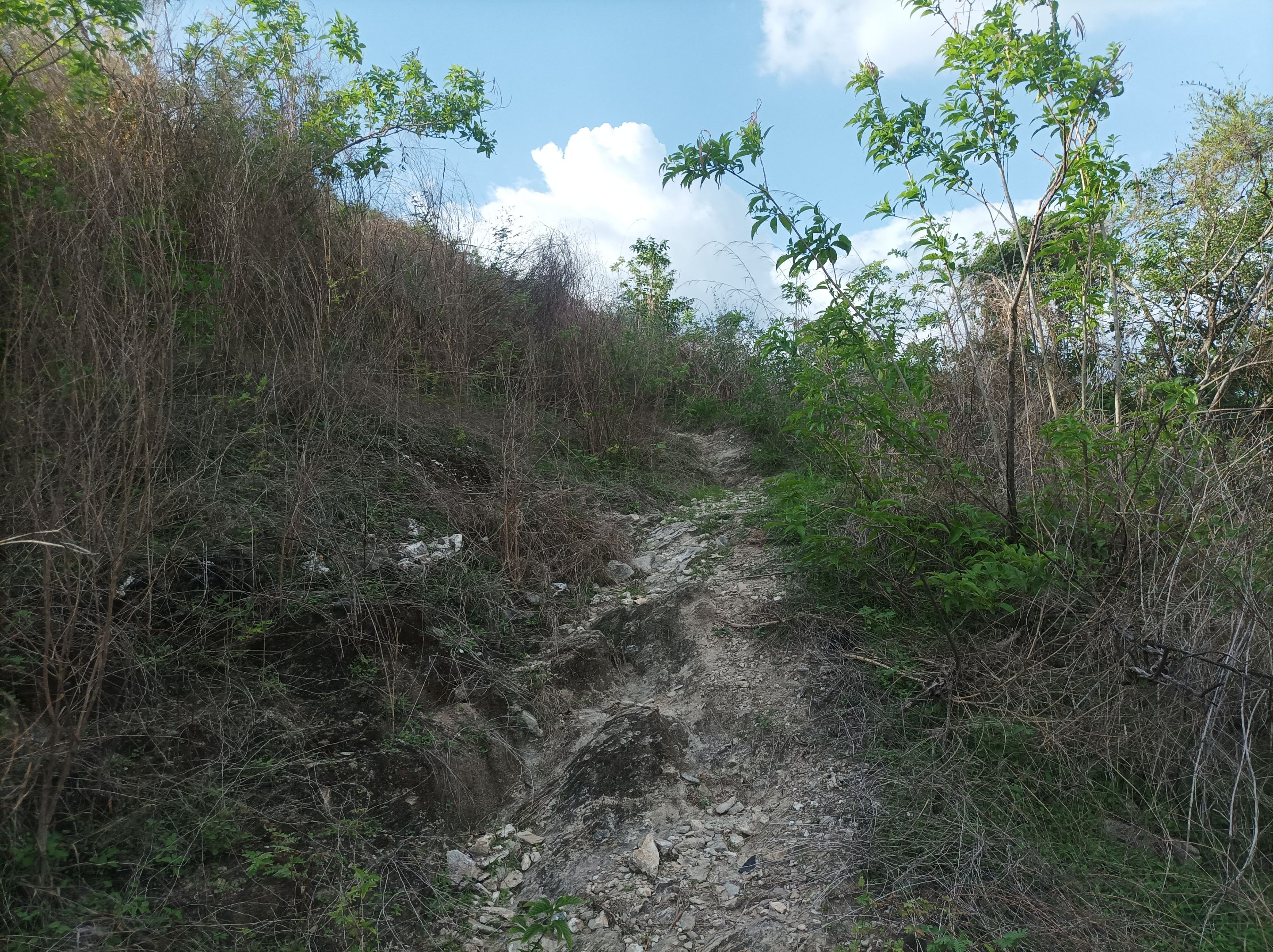
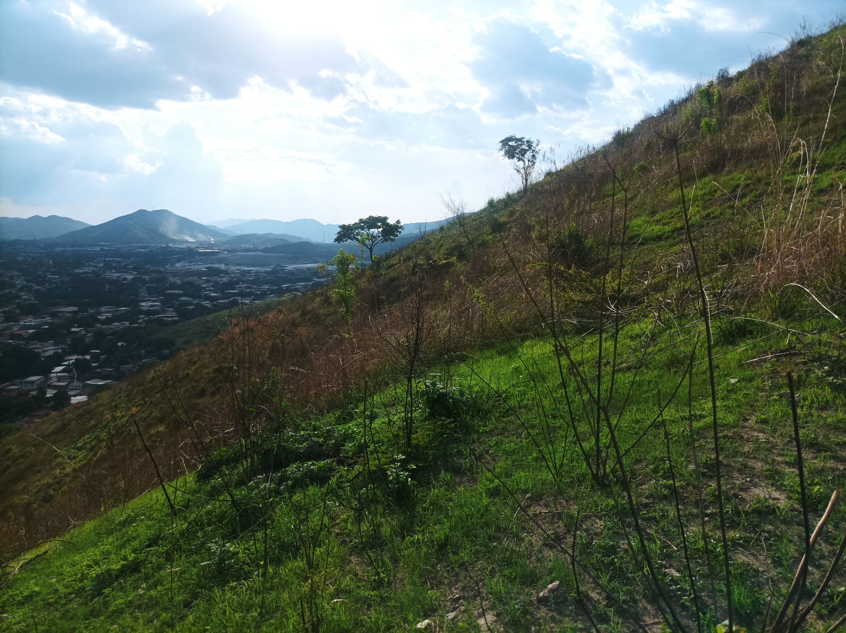
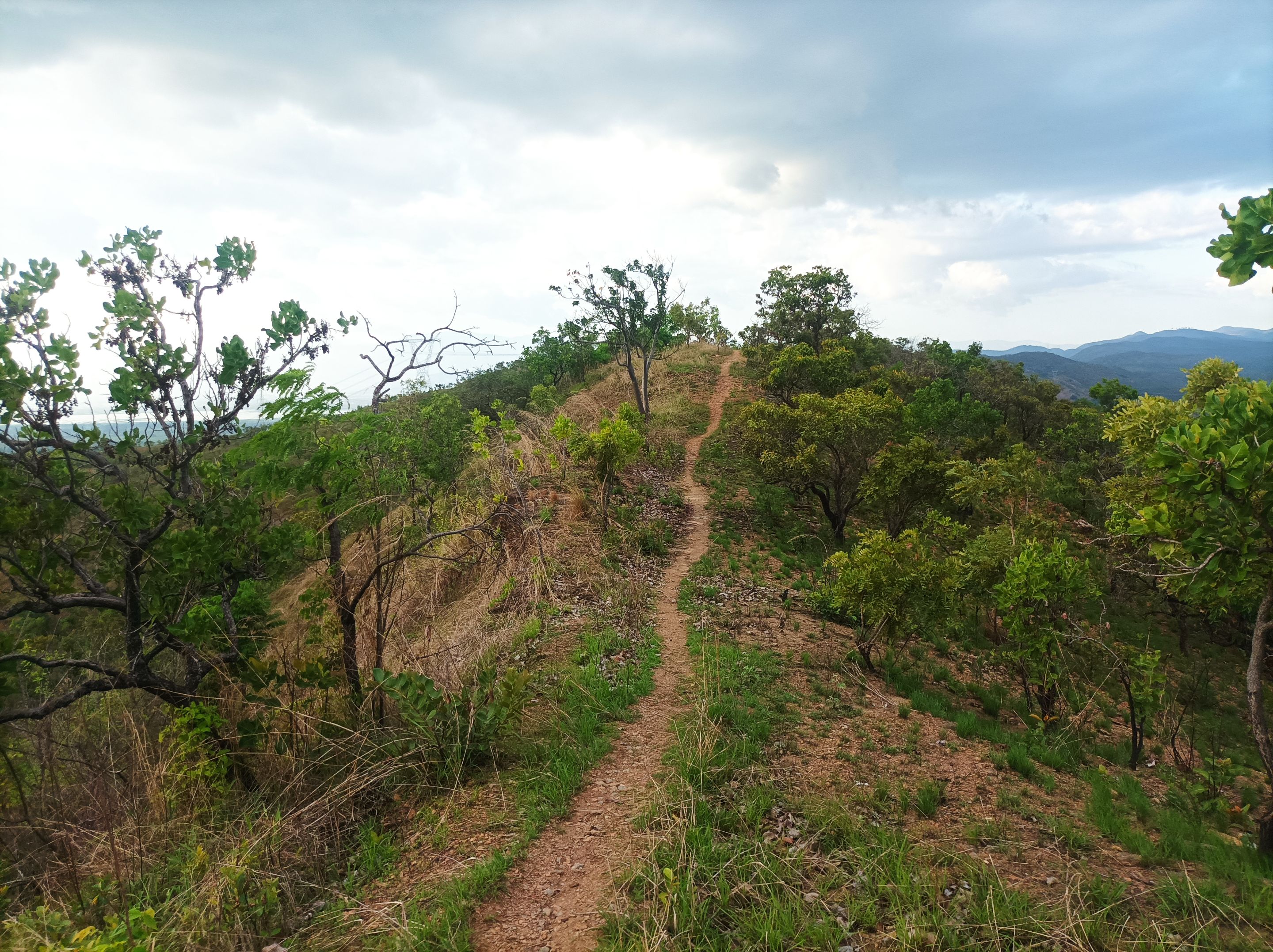
Cabe destacar que no había entrenado desde el día jueves, porque había estado ocupado con el fútbol de mi hijo y también con la celebración del día de las madres, realicé este entrenamiento el día de ayer martes, saliendo a las 4:58 pm, desde la avenida Lisandro Hernández para acceder por la segunda entrada a la montaña, subiendo por la parte más empinada, al llegar a la cima de la primera pendiente, en donde está la cruz con un tiempo de 10 minutos.
It is worth noting that I had not trained since Thursday, because I had been busy with my son's soccer and also with the celebration of Mother's Day, I did this training yesterday Tuesday, leaving at 4:58 pm, from Lisandro Hernández Avenue to access the second entrance to the mountain, climbing the steepest part, reaching the top of the first slope, where the cross is, with a time of 10 minutes.
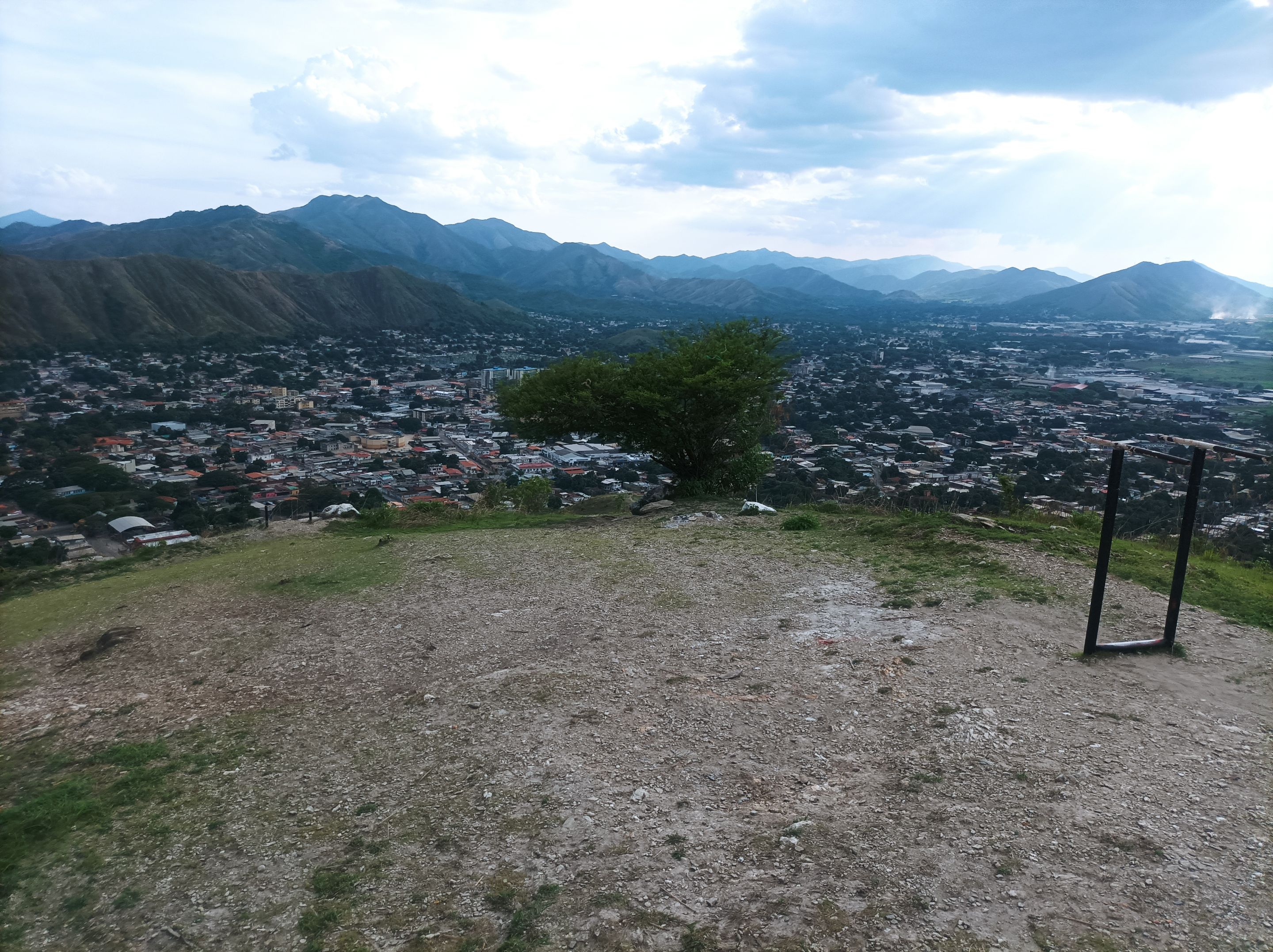
Asimismo continúe avanzando, a un paso de un 60% de mi mejor marca, al llegar a la segunda montaña llevaba un tiempo de 14 minutos, luego seguí caminando para subir está pendiente que es más larga, para llevar a la tercera montaña donde están las máquinas de hacer ejercicios, con un tiempo de 18 minutos En cuanto al clima estuvo nublado, pero se sentía el calor, comencé a bajar para llegar al desvío que me llevaría hacia Las Torres, o al sector de Las Mercedes, Fundavilla.
I continued moving forward, at a pace about 60% of my personal best. By the time I reached the second mountain, I had a time of 14 minutes. Then I continued walking up this longer slope to reach the third mountain, where the exercise machines are located, with a time of 18 minutes. The weather was cloudy, but the heat was felt. The slope began to descend, leading to the detour that would take me to Las Torres, or to the Las Mercedes sector of Fundavilla.
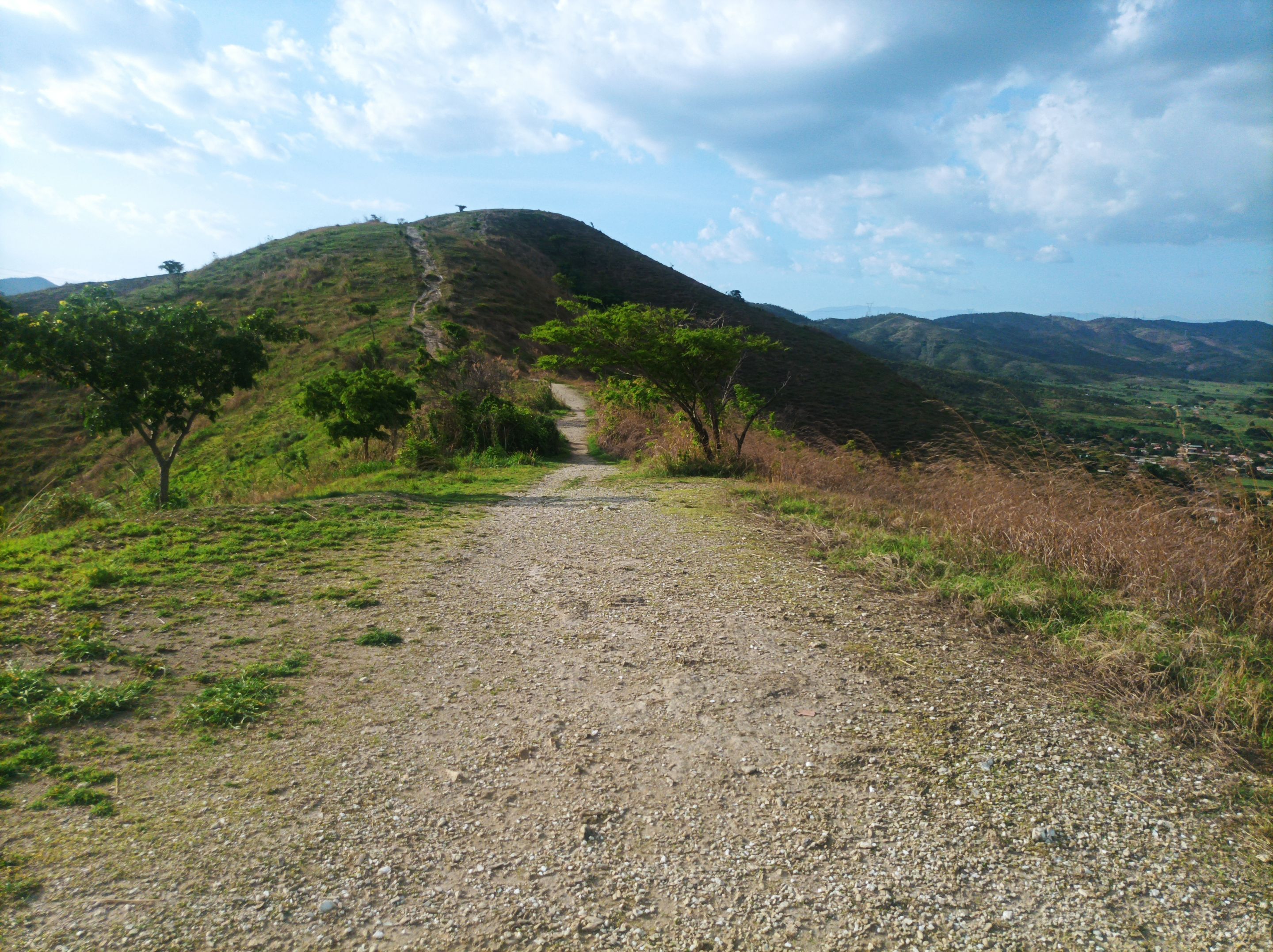
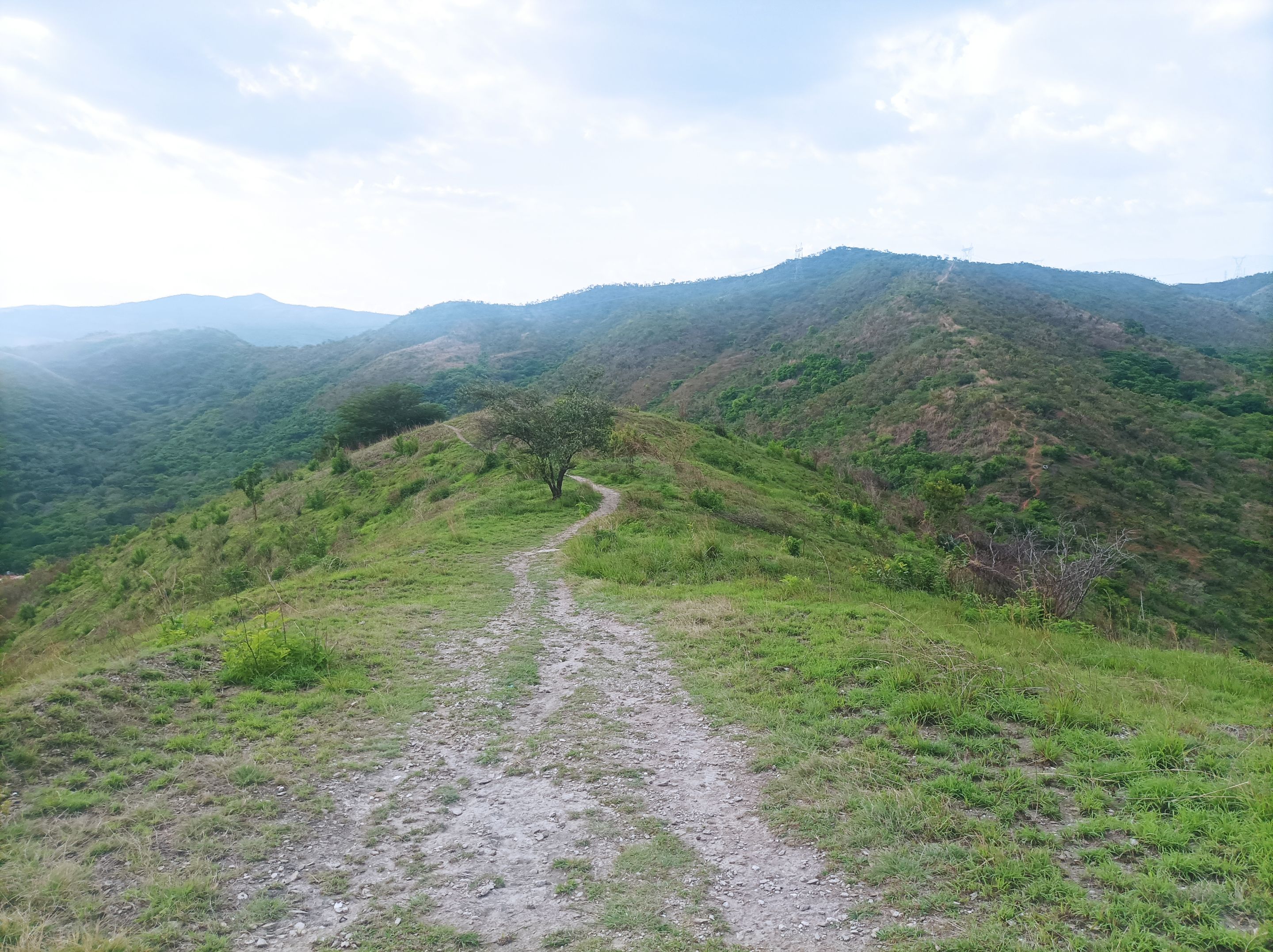
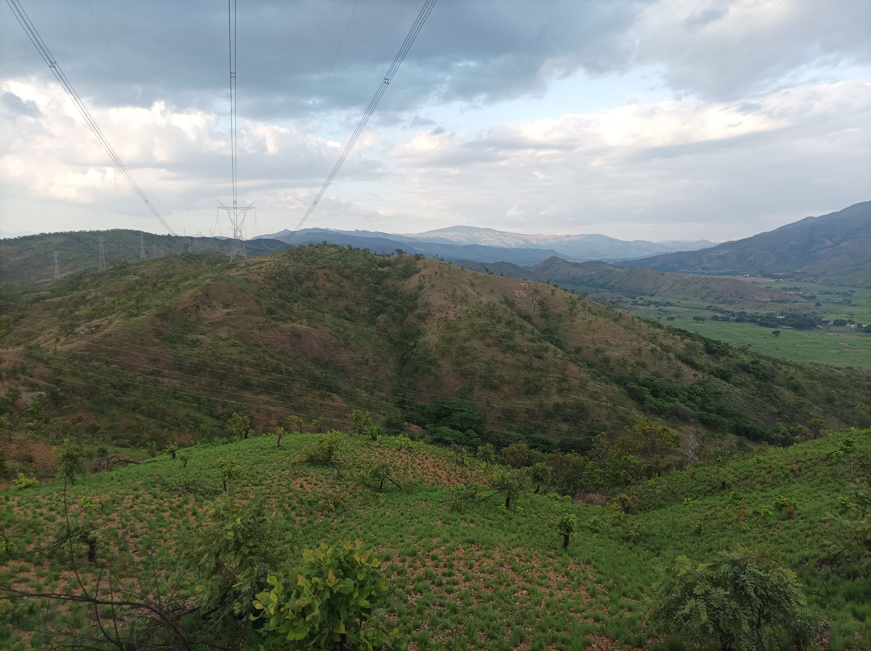
Después, inicio nuevamente el ascenso a la montaña, este recorrido de ida es más fuerte, que al regresar. Como tuve de descanso tres días, me sentí bien de las piernas, para llegar a la cima y pasar por Las Torres con un tiempo de 35 minutos, luego continúe avanzando para pasar por La Piedra y continuar bajando para llegar al frente de la laguna de Taguaguay. En esta parte llevaba una distancia de 3.76 K, entonces decidí caminar unos metros más hasta completar los 4K, para retornar por el mismo camino.
Afterwards, I began the ascent again. This outward journey was tougher than the return journey. Since I had three days off, my legs felt good enough to reach the summit and pass through Las Torres in 35 minutes. Then, I continued onward to pass through La Piedra and continue downhill to reach the front of Taguaguay Lagoon. At this point, I had covered 3.76 km, so I decided to walk a few more meters to complete 4 km and return along the same path.
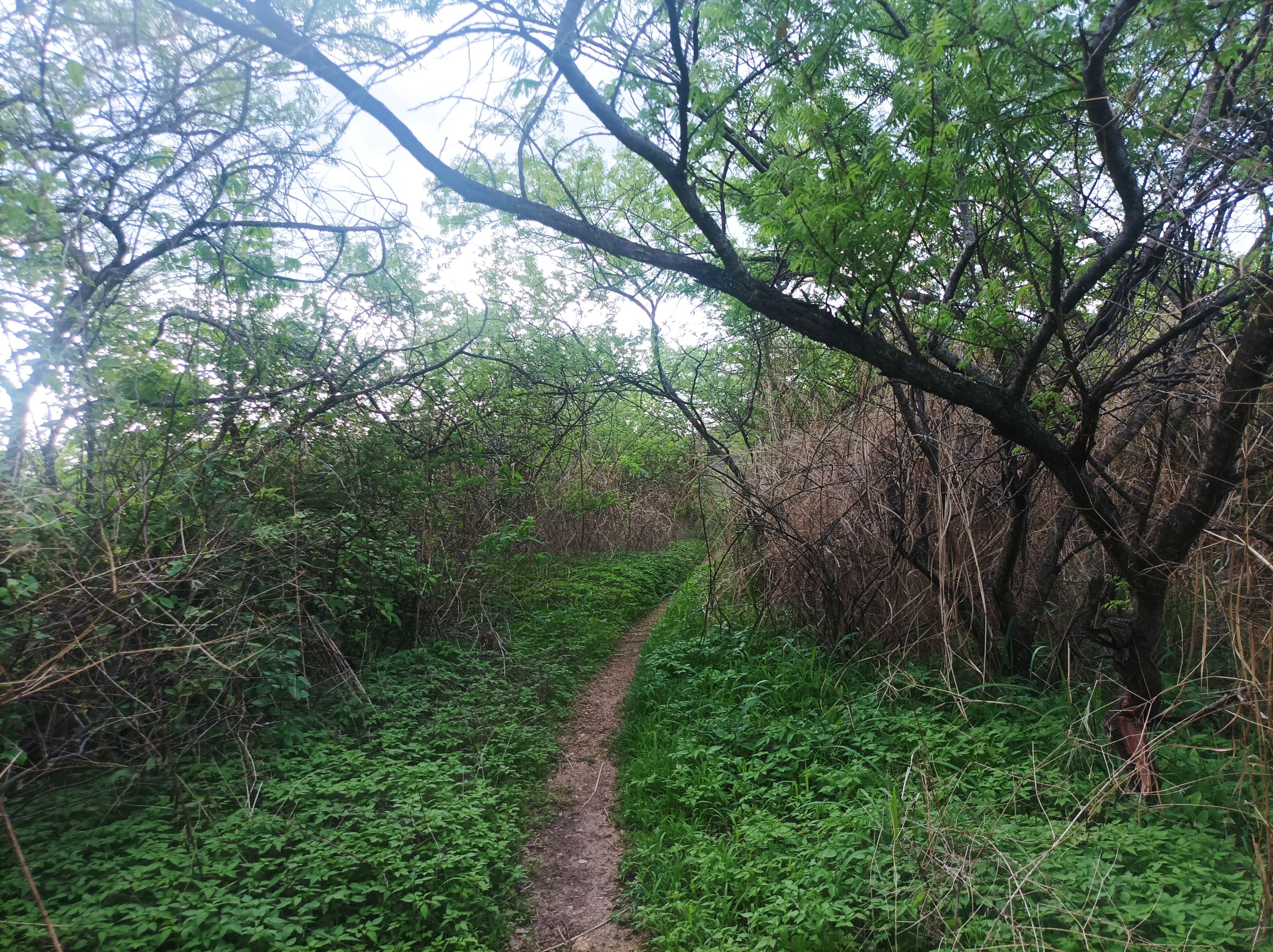
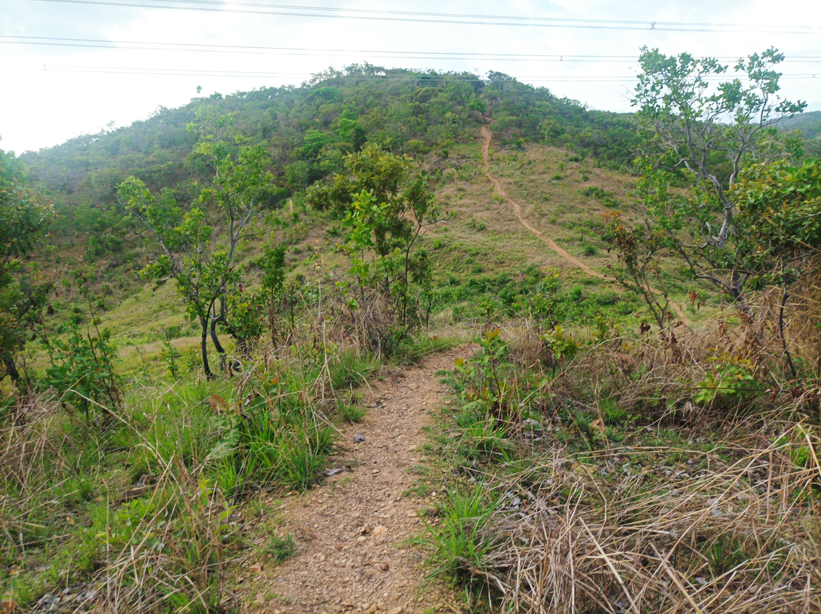
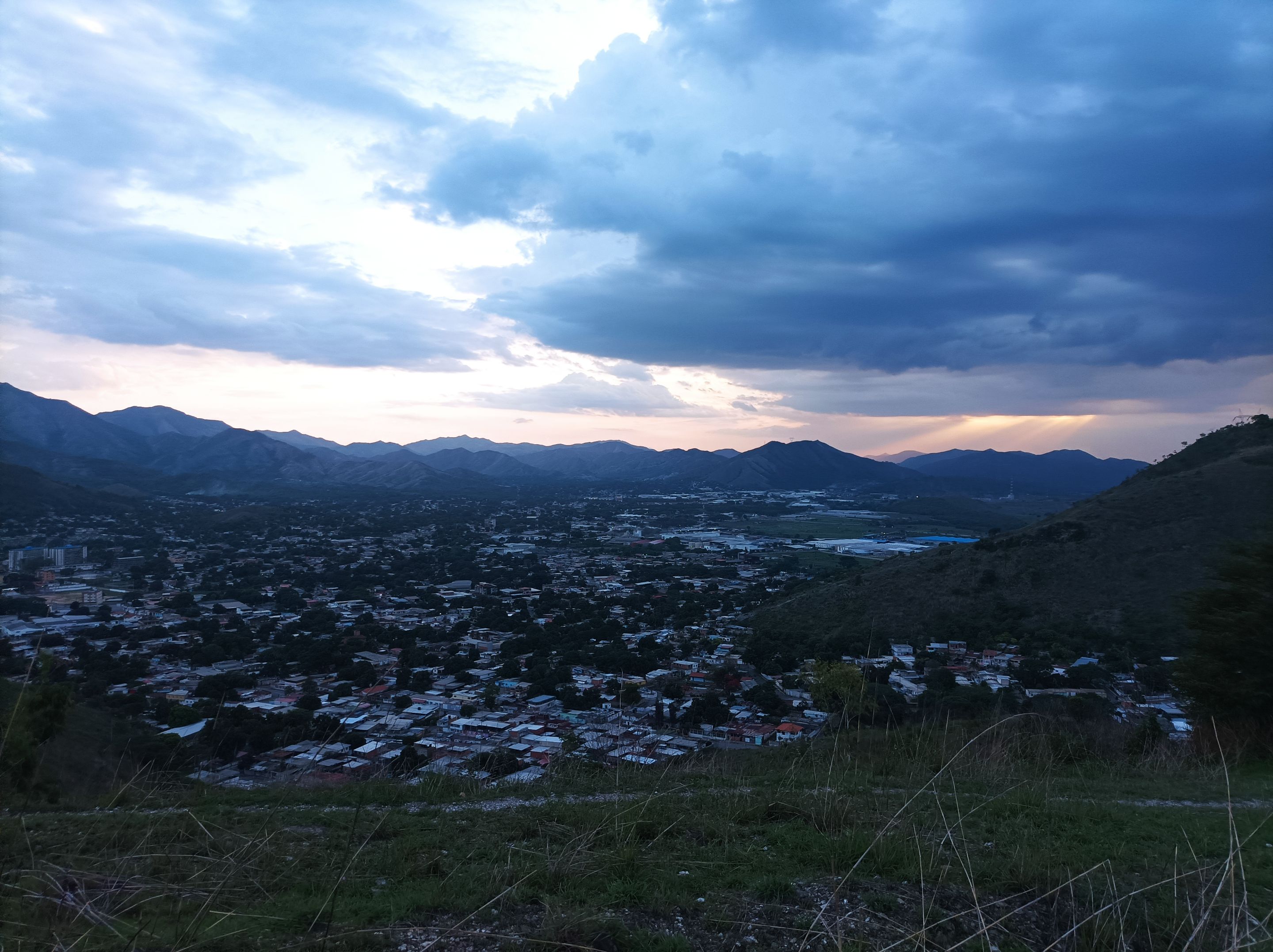
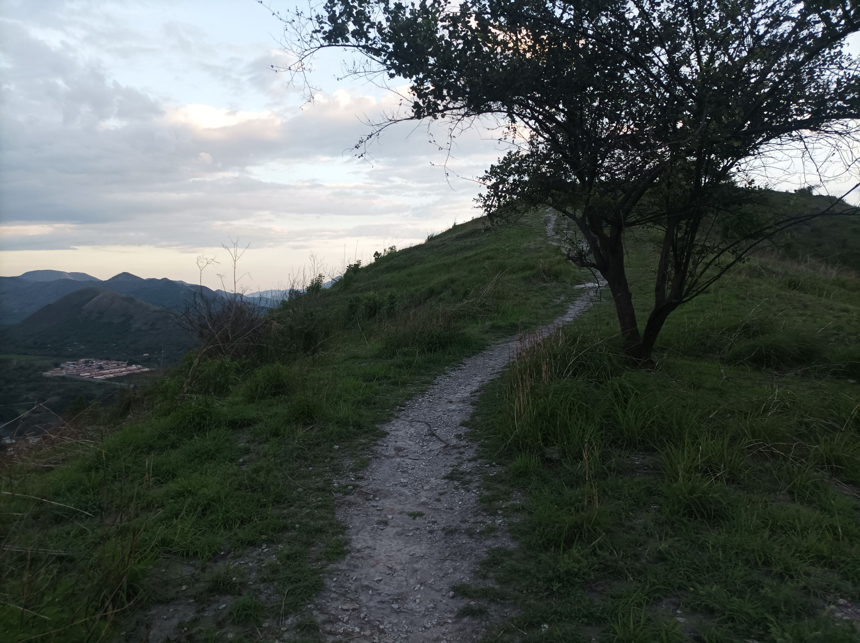
Al retornar, me hidrate un poco y tomé algunas fotografías del paisaje, para después pasar por el mismo sendero, cuyo parte más fuerte es el sector de Las Mercedes, que nuevamente comienza el ascenso para llegar a la cima donde estás las máquinas de ejercicios y continuar el recorrido que es pura bajada, para finalmente salir de la montaña y llegar a la avenida Lisandro Hernández y terminar mi entrenamiento con una distancia de 8 K, con un desnivel positivo 510 m y un desnivel máximo de 769 m, registrado en Strava.
Upon returning, I hydrated a little and took some photographs of the landscape, and then went through the same trail, the toughest part of which is the Las Mercedes sector, which again begins the ascent to reach the top where the exercise machines are and continue the route which is pure descent, to finally leave the mountain and reach Lisandro Hernández Avenue and finish my training with a distance of 8 K, with a positive slope of 510 m and a maximum slope of 769 m, recorded on Strava.
Espero que les haya gustado, nos vemos en una próxima publicación.
I hope you liked it, see you in a next post.
Fotografías: Teléfono Redmi Note 10
Portada realizada en APP GridArt
Logos utilizados de Hive y de
@fulldeportes Traductor utilizado: Traductor de Google
Photos: Redmi Note 10 Phone
Cover made in The APP GridArte
Used logos of Hive and
@fulldeportes Translator used: Translator used: Google Translate