Aerial Footage of Koloiki Ridge Trail
Today I explored a new part of the island of Lana'i. While there are two fancy resorts on the island, there are very few people that ever travel here. There is a small town of about 3000 people, who live near the top of the island in Lana'i City. It has a plantation ghost town feel mixed with a burgeoning artisan community. The island itself used to be the world's largest pineapple plantation under Dole, but now is mostly empty fields and untouched adventures. I've explored some of these hard to reach places by mountain e-bikes, but today it was time for a hike.
We drove from Manele small boat harbor, up through town, to the Lana'i Adventure Center. It is nestled under the high forest, just past the fancy health retreat called Sensei Lanai. Here we met our hiking guides for the day, Jerryan and KC. We loaded up into some cool all terrain vehicles, which reminded me of Jurassic Park. Then we blasted up the ridge to the start of the Koloiki Trail. We actually stopped a little short of the trailhead, and hiked a bit of the Monro Trail, before taking a left and following the signs for the Koloiki Trail. This led us out of the forest, to a ridgeline with two deep valleys on either side, and a beautiful view out over the ocean, across to the island of Molokai in front.
The wind was pretty intense, and I was a little worried about flying my drone, but I sent it up and was pleased with the results. I did land it after getting some wind warnings, but the results from the drone were great. I definitely need to take it here again, on a less windy day. The red color of the iron-rich soil, mixed with the green bushes and trees, and the blue ocean and sky make for a wonderful view. Take a look for yourself.
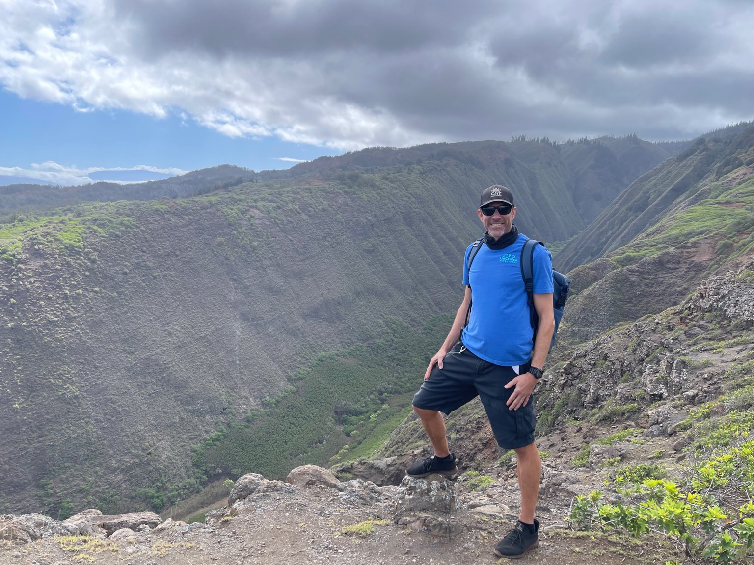
I had to get a picture of me, standing on the edge of the ridge, looking way down into beautiful Maunalei Valley.
Maunalei Valley, deep and mysterious.
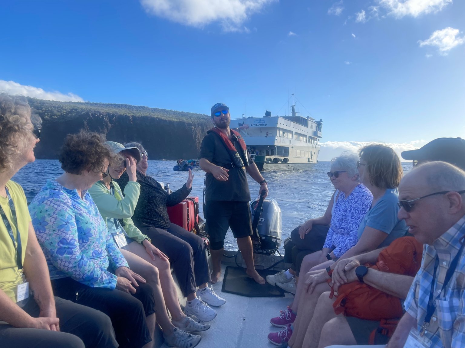
One of the crew of the Safari Explorer, Will, takes us into Manele small boat harbor for our land adventures on Lana'i.
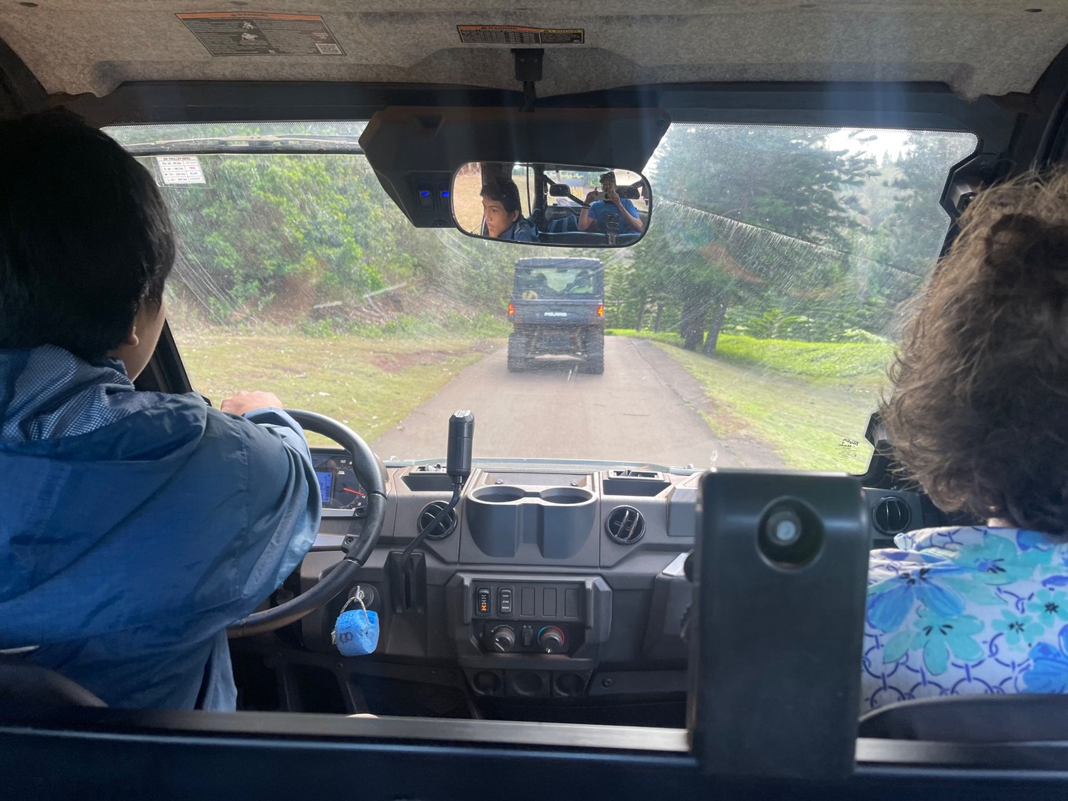
We started the hike from the Lana'i Adventure Center. Then we got into these UTVs and cruised up to the top of the island, where the Koloiki Trailhead is.
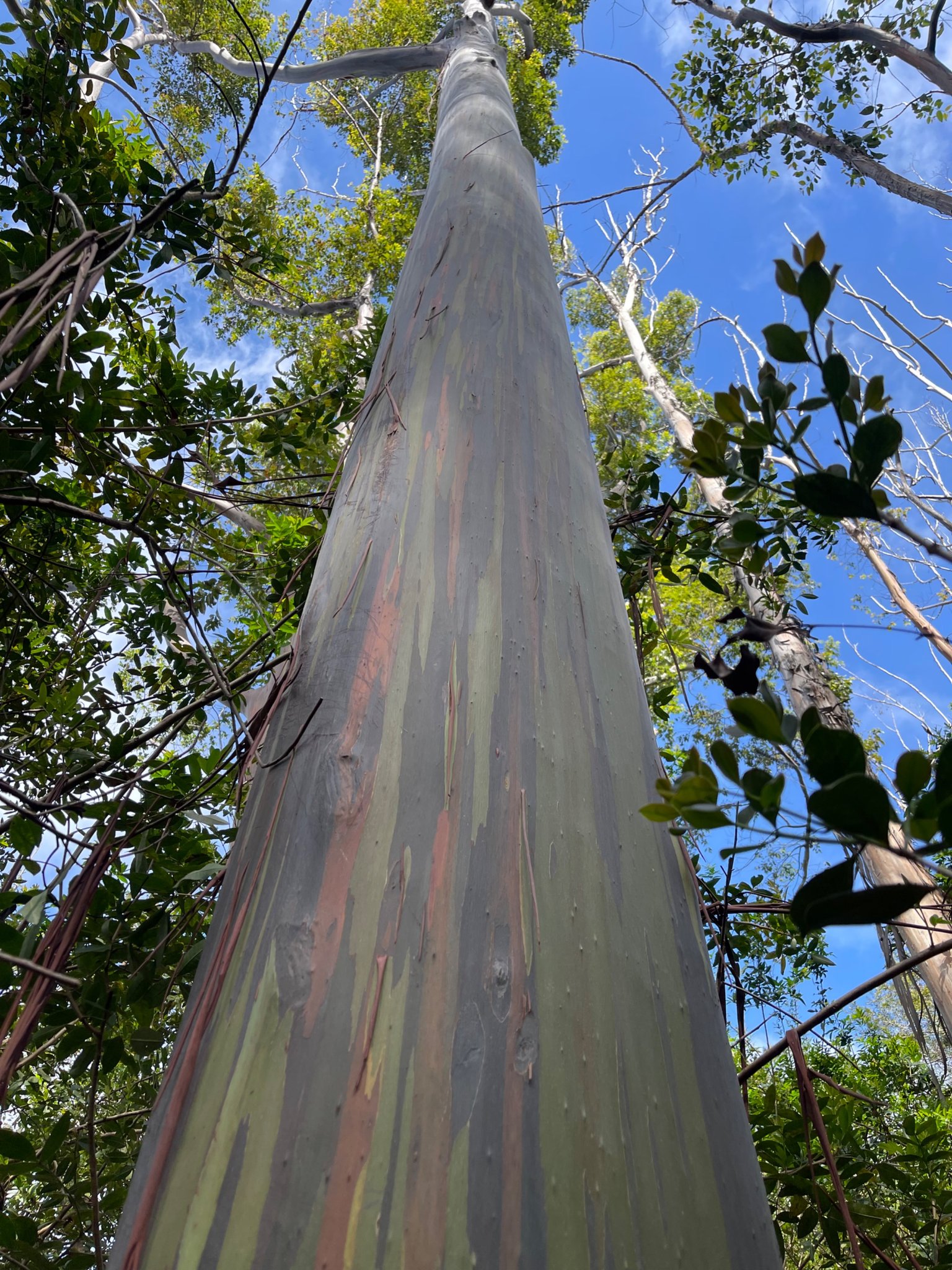
We found several of these colorful rainbow Eucalyptus trees on the ridgeline.
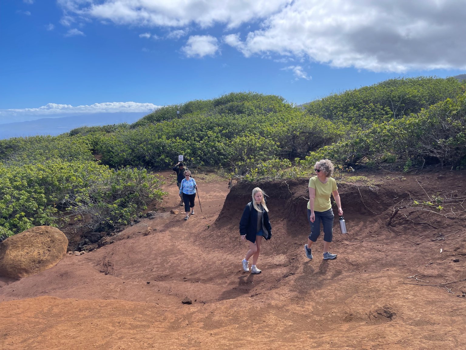
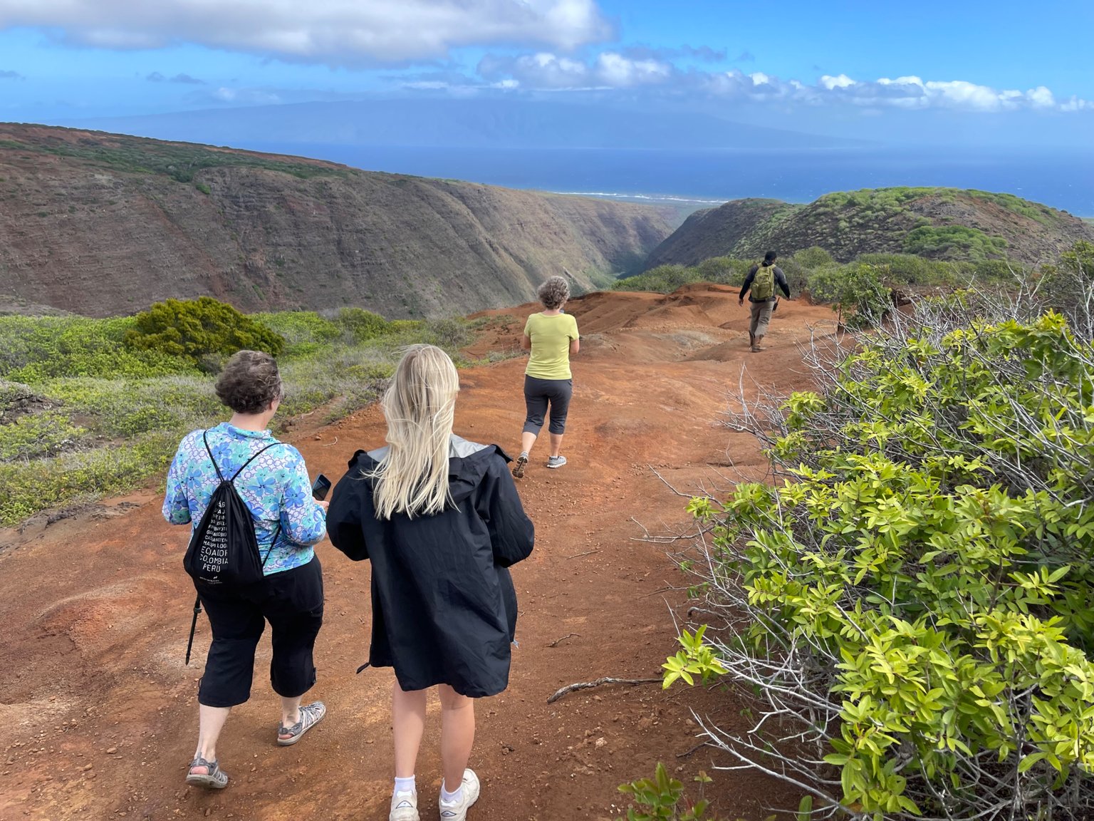
This is our group, hiking back up from the Maunalei viewpoint.
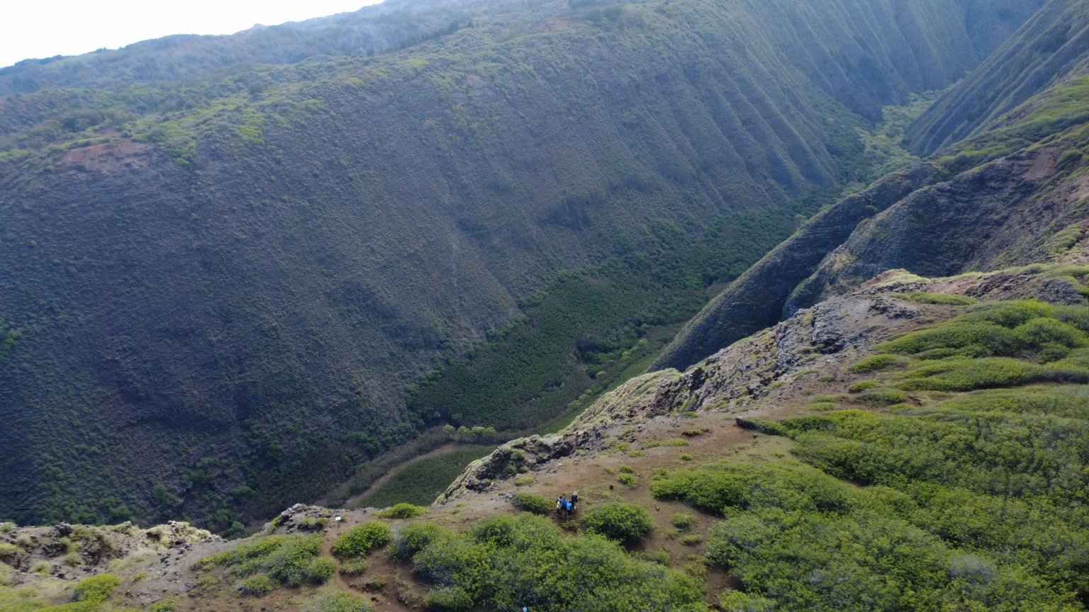
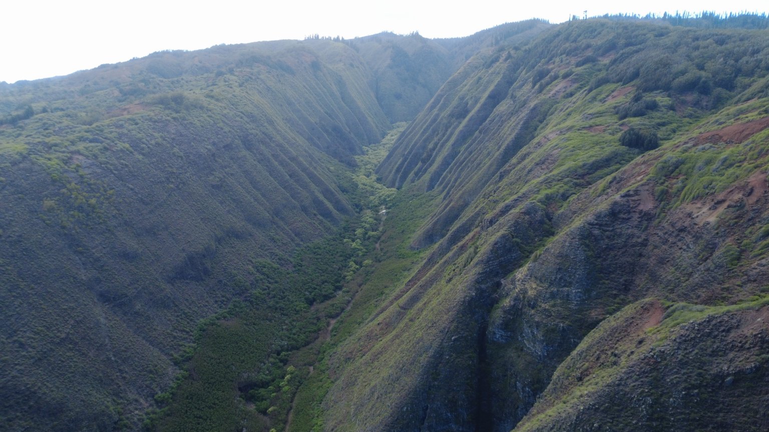
Despite the high winds, I sent my drone up to get a few aerial shots. You can see my group high up on the ridge, overlooking Maunalei valley on Lanai's north side.
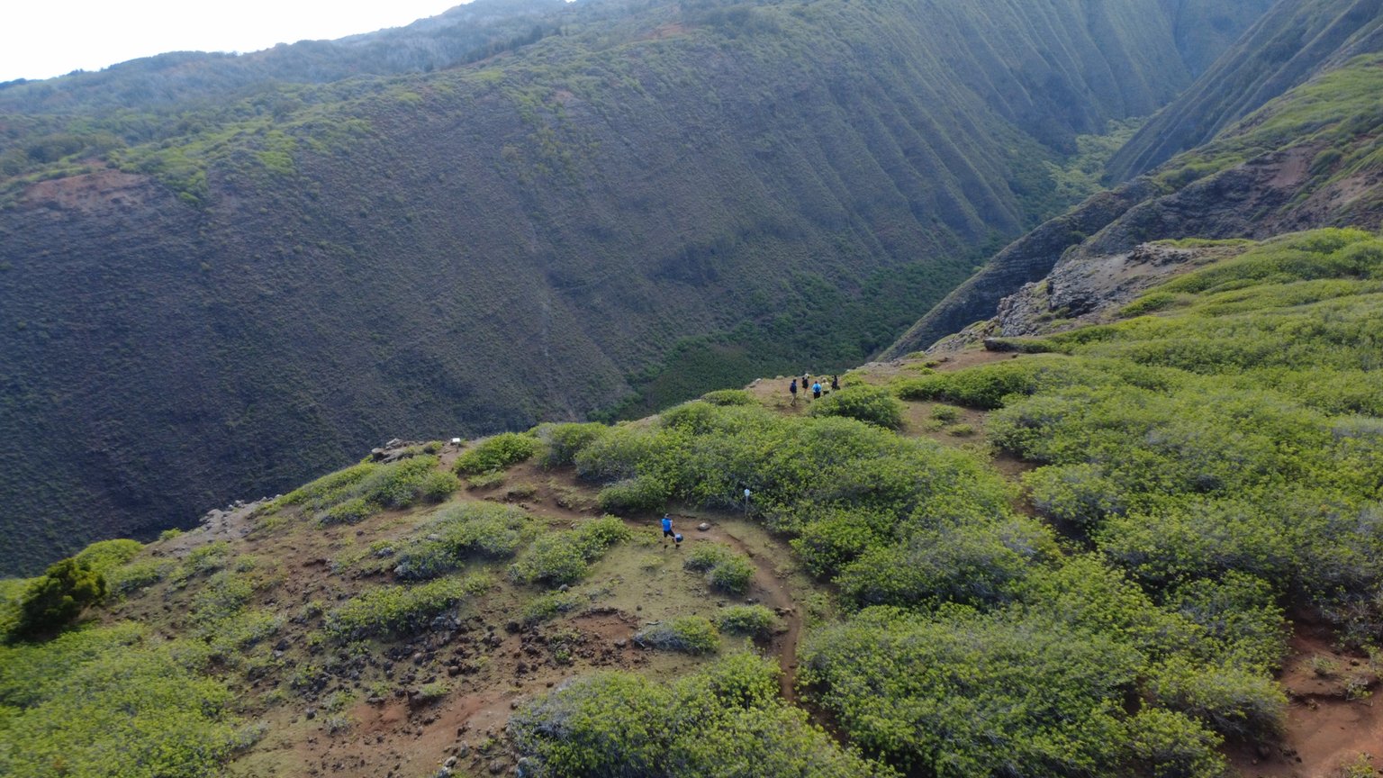
Pretty cool view from the drone.
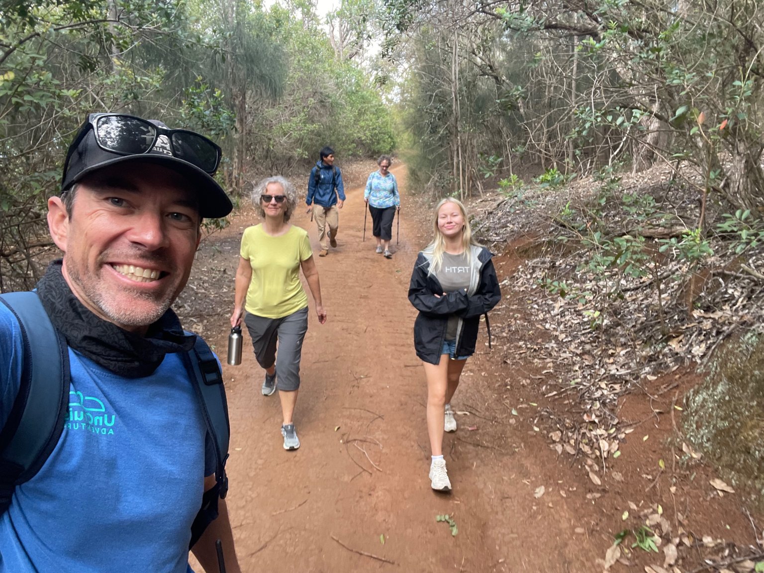
Selfie and my group. We hiked for about 2.25 miles, with only a couple hundred foot elevation gain. The trail undulates as it follows the top of the island.
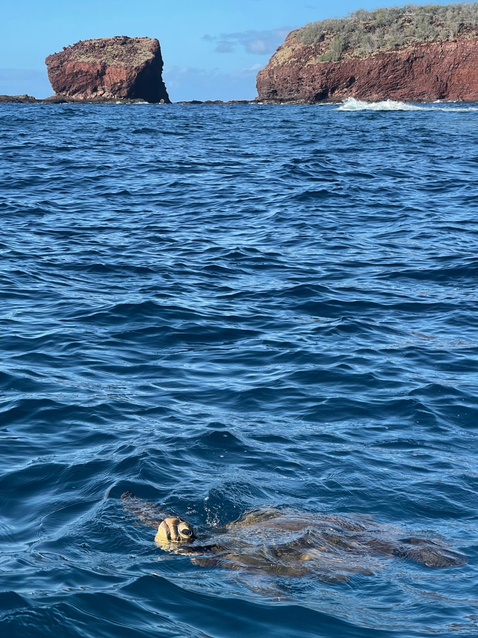
On our way in on our skiff, we came across this sea turtle at the surface, breathing.
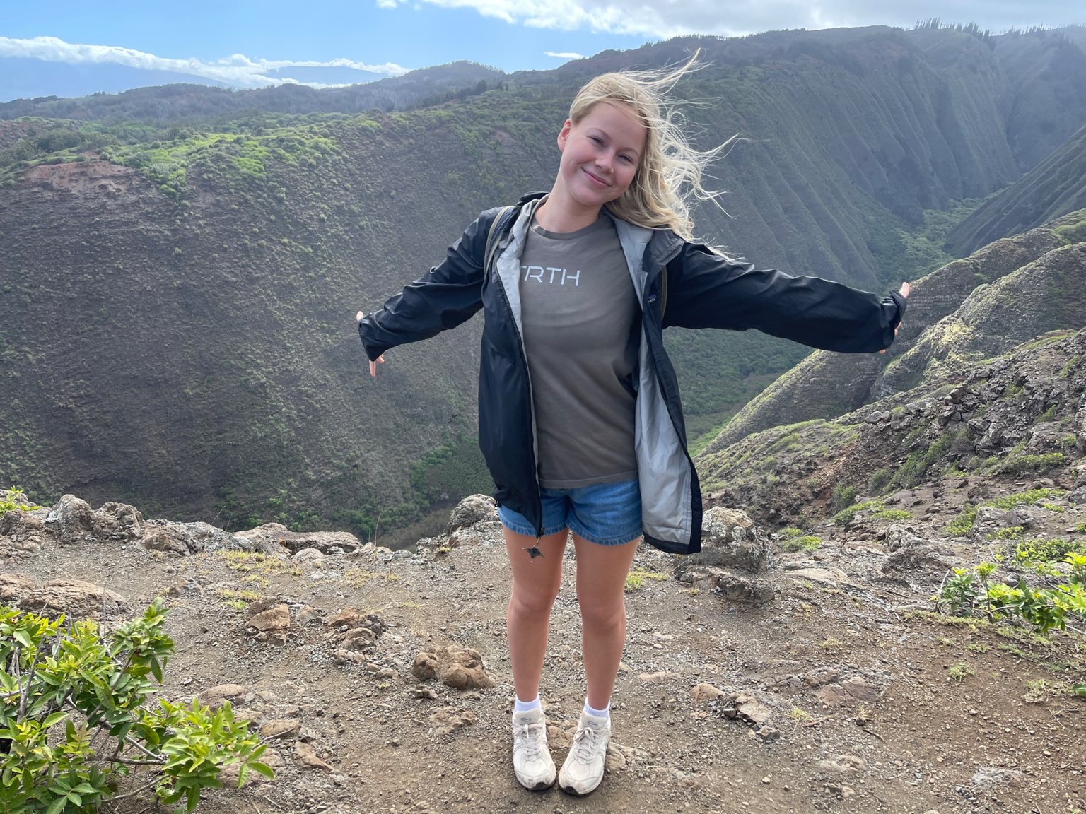
Hayley, living her best life. Enojying the hike.
Walking out on the Koloiki Ridge, with views of Molokai and Maui in the distance.
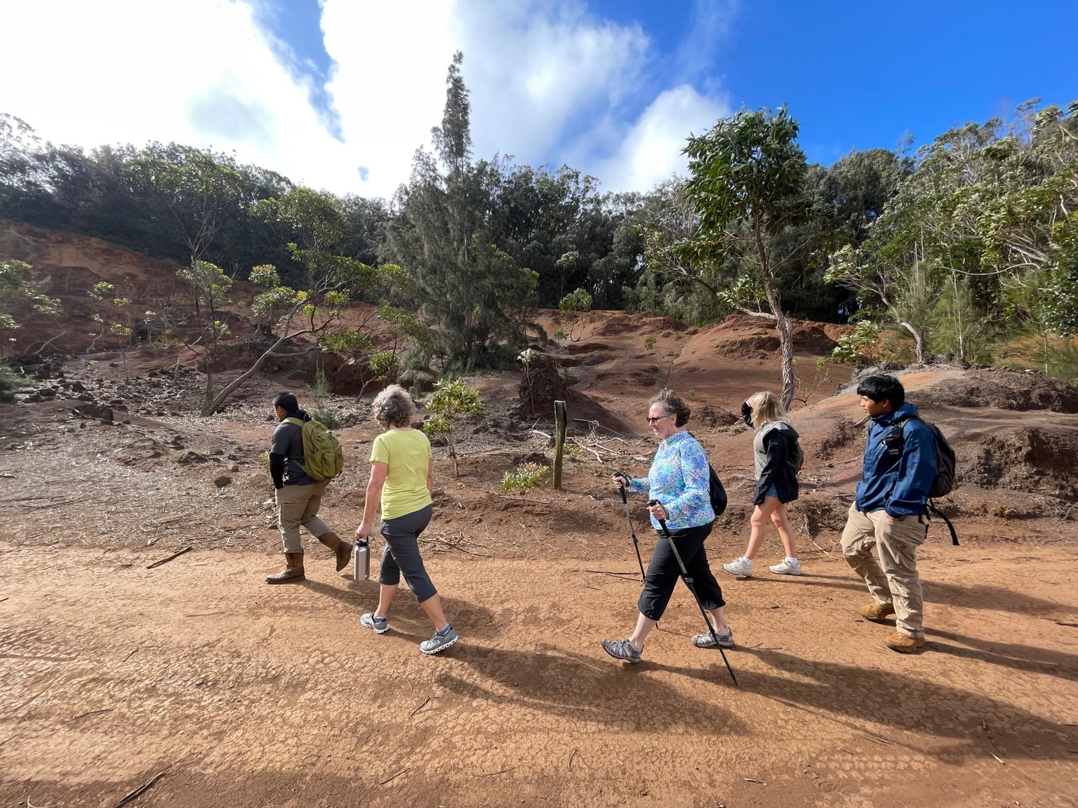
We started off on the Munro Trail, which leads to the start of the Koloiki Trail.
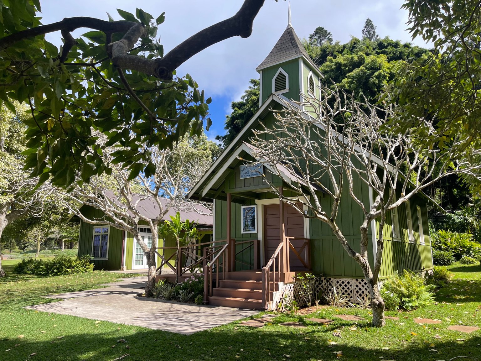
I love this little local church near the Lana'i Adventure Center.
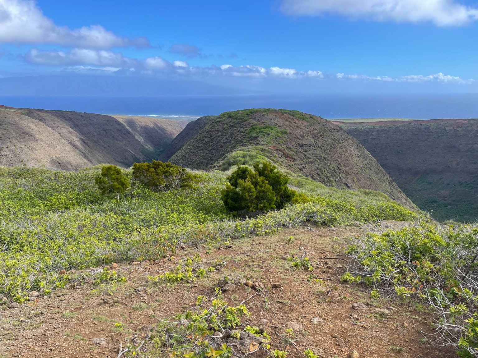
Such beautiful views from the ridgeline.
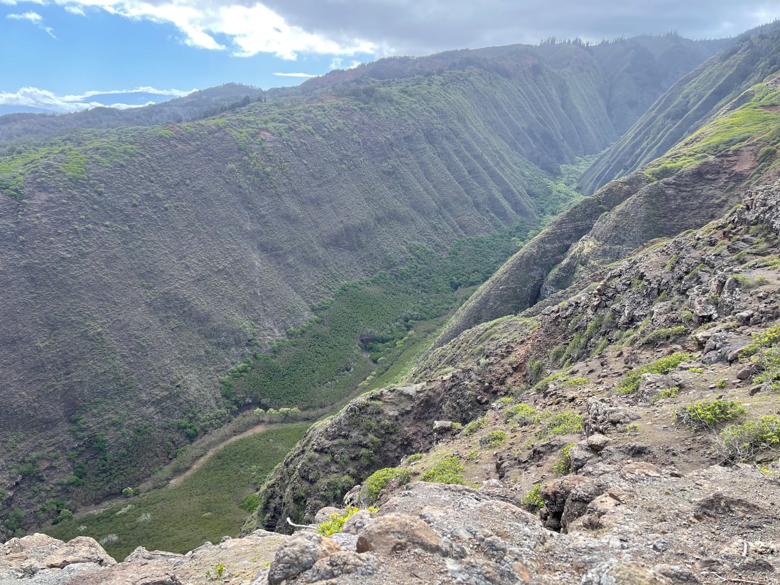
View down into Maunalei Valley.
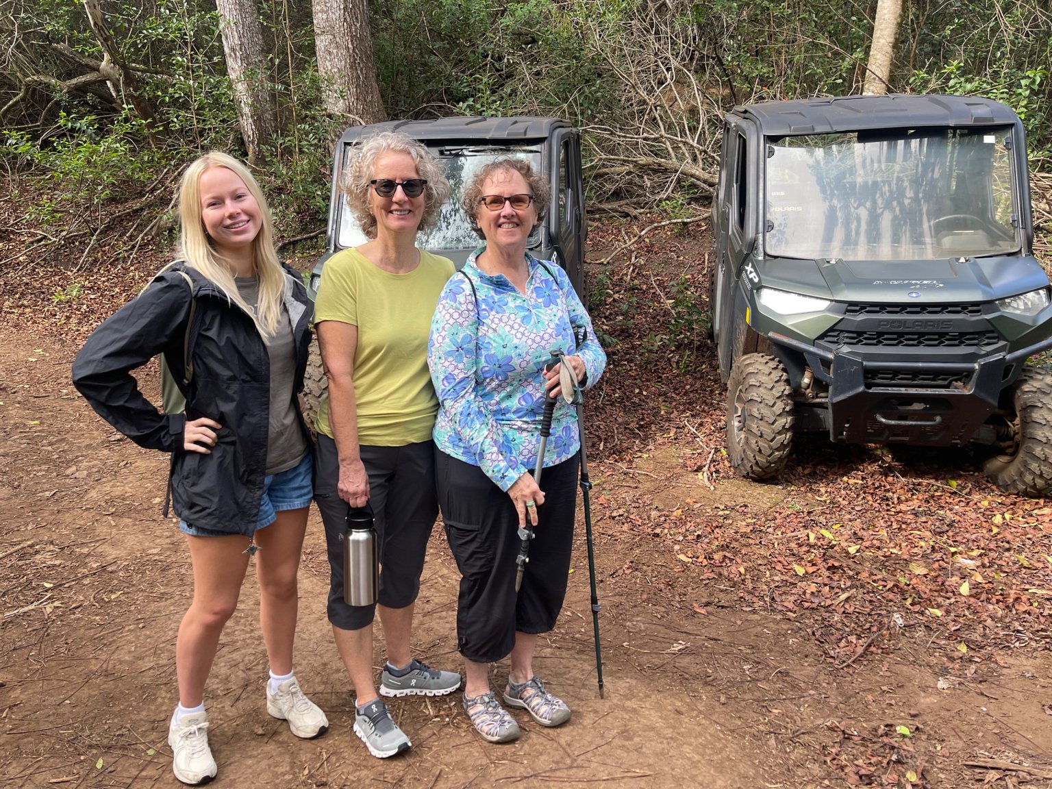
This is as far as the UTV's took us. Its all hiking from here.
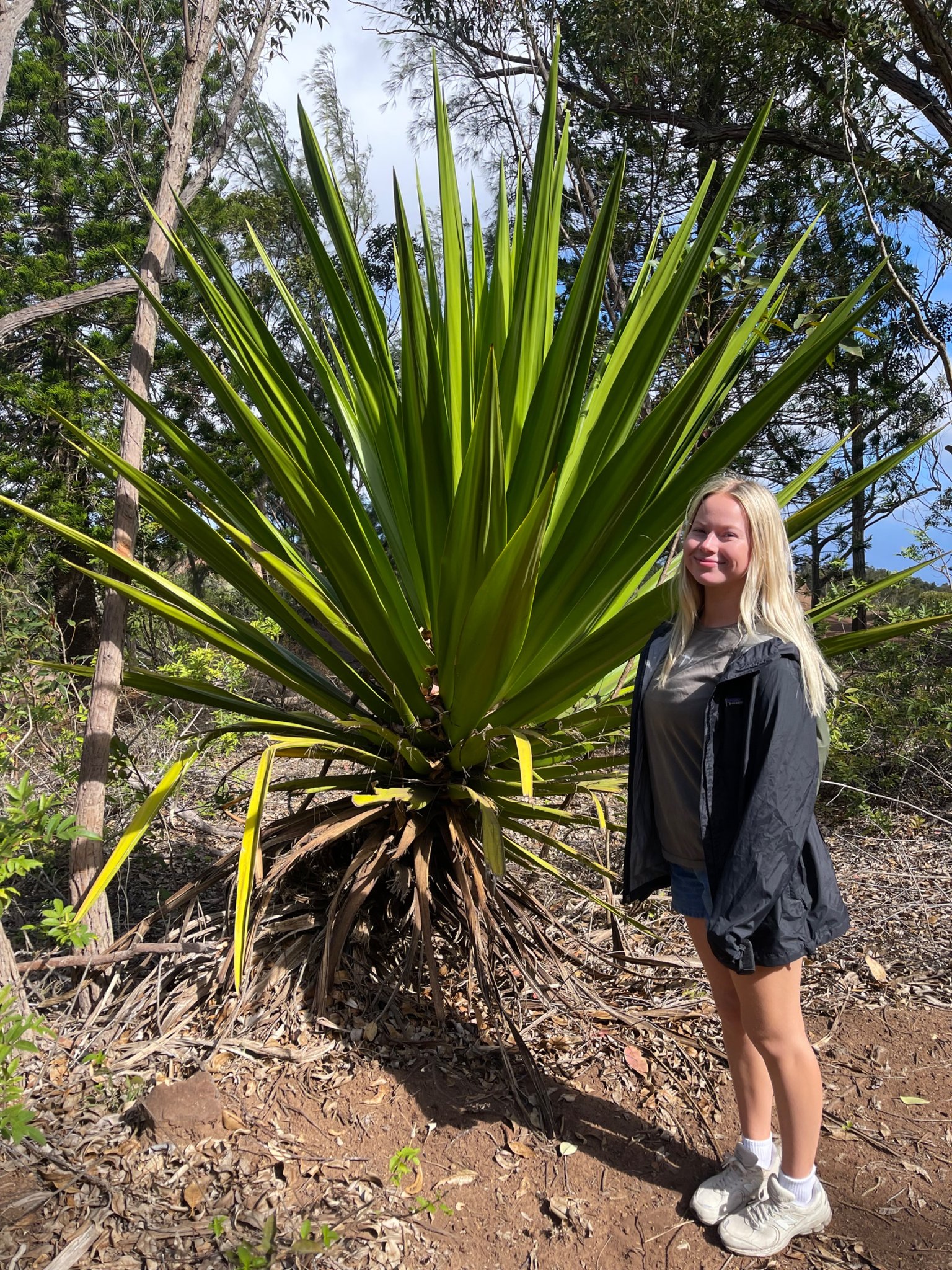
Hayley in front of a sisal plant. These were used to make rope back in the day.
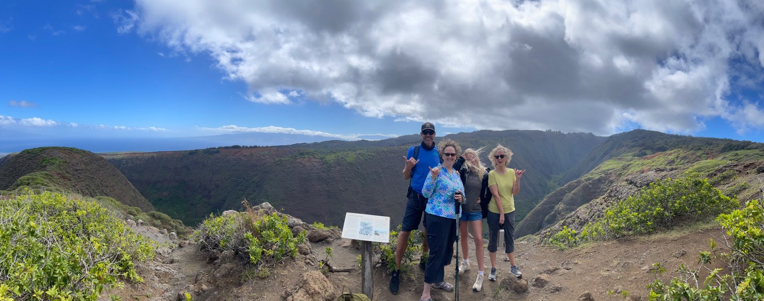
Cool panorama of our group at the lookout at the end of the Koloiki Ridge Trail.
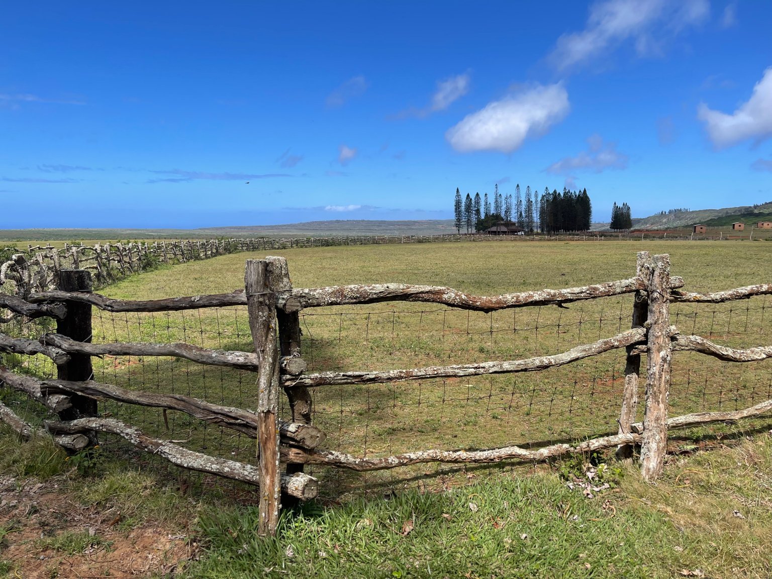
We passed the Lana'i Ranch on our way back. I had to stop and take a photo of the fence, which it turns out our guide, KC, helped build with his dad.
As always, keep traveling and keep posting!
- Dai Mar